3 Arundel Street, Garforth, Leeds, LS25 2LH
About 3 Arundel Street
3 Arundel Street is a semi-detached house in Garforth, Leeds, Leeds (LS25 2LH). It has a recorded floor area of 71 m² (around 764 sq ft), construction records dating it to 1967-1975 and council tax band C. The latest certificate (August 2018) shows an E (score 52), well below the UK norm with real room to improve. The recommended improvements would lift it to B (score 88), a 3-band jump.
Last sale on file: £177,500 in January 2019. Across the public record there are 4 sales, relatively high churn for a single property. It lags the bulk of the postcode on energy efficiency (less efficient than 88% of similar EPCs). Across 1995–2019, sale prices on this property compounded at 5.6% per year. Today's modelled estimate of £236,000 is 33% above the 2019 sale price.
Know exactly what you're buying at 3 Arundel Street
Before you offer, see what the listing won't tell you, the true value, the red flags and the full history.
Already flagged here
Valuation
against the asking price
Risks
planning & flood
Sold prices
similar homes nearby
Trends
the local market
Energy performance
Recommended upgrades on file would lift this property by multiple EPC bands.
EPC Rating
Planning history
3 Arundel Street has no planning applications on record.
Notable planning nearby
1applications of note in the surrounding area
We flagged 1 thing worth checking at 3 Arundel Street
Independent checks surfaced things a buyer would want to understand before offering. The report explains each one in full, with the underlying data and what to ask.
- Larger development activity nearby
30-day money-back guarantee
Sales history & valuation
Sale price has grown by over 3x since 1995.
£236,000
Modelled from EPC, postcode comparables and a sale-price growth of 5.6% per year over 23 years.
£177,500
Growth on file: 5.6% per year over 23 years.
Sales timeline
11 January 2019Most recent
£177,500
-4.1%21 December 2018
£185,000
+50.4%over 15 years18 September 2003
£122,995
+146.0%over 7 years12 October 1995
£50,000
Median price across the last 5 sales in LS25 2LH: £327,500 (2025–2022).
Nearby sales in LS25 2LH
12 Arundel Street, Garforth, Leeds, LS25 2LH
Sold Feb 2025
£385,0001 Arundel Street, Garforth, Leeds, LS25 2LH
Sold Dec 2022
£485,00013 Arundel Street, Garforth, Leeds, LS25 2LH
Sold Oct 2022
£327,50011 Arundel Street, Garforth, Leeds, LS25 2LH
Sold Aug 2022
£285,0009 Arundel Street, Garforth, Leeds, LS25 2LH
Sold Feb 2022
£275,200
Everything we know about 3 Arundel Street, in one report
What it's really worth, what could be wrong, and the planning, sales and area data in full.
What we flagged
- Larger development activity nearby

Versus other Arundel Street homes
On epc rating, 3 Arundel Street runs well behind the street norm.
Price per m²
£2,500
Street avg £3,496
Floor Area
71 m²
Street avg 82 m²
Habitable Rooms
5 rooms
Street avg 5 rooms
CO₂ Emissions
5.2 t/year
Street avg 3.8 t/year
Similar properties nearby
1 Bolsover Close, Garforth
LS25 2NG
1 Ash Terrace, Garforth
LS25 2HN
1 Bar Mount, Garforth
LS25 2EQ
1 Braemar Drive, Garforth
LS25 2NJ
1 Cliffe House Avenue, Garforth
LS25 2BW
1 Cherwell Croft, Garforth
LS25 2BE
1 Chepstow Close, Garforth
LS25 2LX
1 Bluebell Avenue, Garforth
LS25 2FD
The neighbourhood at a glance
Rail-style transport is unusually close for this postcode.
Crime
6/mo
Steady year-on-year across the wider district.
Nearest stop
0.0 km
Arundel Street — bus stop.
Closest school
0.2 km
East Garforth Primary Academy. 9 schools nearby.
Go deeper on the local area
The full report breaks down crime, transport links, schools and air quality in depth.
Road noise across the postcode
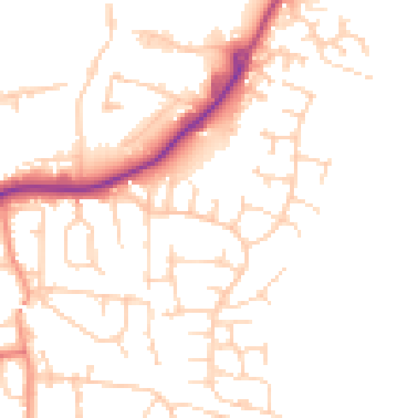
Daytime· 07:00 – 23:00
51.8dB

Night-time· 23:00 – 07:00
41.3dB