10 Baggholme Road, Lincoln, LN2 5BQ
About 10 Baggholme Road
10 Baggholme Road is a three-bedroom mid-terrace house in Lincoln (LN2 5BQ). It has a recorded floor area of 91 m² (around 980 sq ft), construction records dating it to 1900-1929 and council tax band A. Tenure is freehold. The latest certificate (April 2025) shows a D (score 64), on the cusp of jumping into the C band. The rating has held steady at D across 2 certificates since November 2013. Between certificates, wall efficiency went from Very Poor to Poor, roof efficiency went from Very Poor to Very Good and lighting went from Good to Very Good. The recommended improvements would lift it to B (score 86), a 2-band jump.
Most recent transfer: June 2019 at £112,000. Across the public record there are 5 sales, relatively high churn for a single property. At 91 m² it's 15.9% larger than the typical home in the postcode (79 m² median across 46 EPCs). Across 1998–2019, sale prices on this property compounded at 7.2% per year. Today's modelled estimate of £146,000 is 30.4% above the 2019 sale price. On a £-per-square-foot basis, the last sale (£114/sq ft) was about 33.5% above the typical sold price in the postcode.
What this property has
Inside
- Bedrooms3
- Bathrooms2
- Dining roomYes
- Utility roomYes
- CloakroomYes
Building
- TenureFreehold
Everything you need to know about 10 Baggholme Road
The true value, the hidden risks and the full sale history, in one report.
Pick your report · every report is £14.99
One time fee only - money back guarantee

The data behind every report


Energy performance
Recommended upgrades on file would lift this property by multiple EPC bands.
EPC Rating
Property Improvements
Changes detected from historical EPC data
Windows upgraded, improving insulation
Wall insulation improved
Loft insulation installed or upgraded to 250mm+
More low energy lighting installed
Get a survey for this property
Level 3 Building Survey
Because the property was built before 1919, has been extended more than once, and has solid (non-cavity) walls, we believe a Level 3 building survey should be considered.
From £820 · Includes VAT
Planning history
10 Baggholme Road has no planning applications on record.
But the area is active
63 notable applications nearby — larger schemes and conversions that could reshape the street. The report maps them all.
Sales history & valuation
Price for 10 Baggholme Road has grown more than fourfold since the 1998 starting point.
£146,000
Modelled from EPC, postcode comparables and a sale-price growth of 7.2% per year over 21 years.
£112,000
Growth on file: 7.2% per year over 21 years.
Sales timeline
13 June 2019Most recent
£112,000
+21.7%over 13 years10 May 2006
£92,000
+44.9%over 3 years13 January 2003
£63,500
+81.7%over 2 years28 September 2000
£34,950
+34.4%over 2 years18 June 1998
£26,000
Median price across the last 5 sales in LN2 5BQ: £120,000 (2024–2022).
Nearby sales in LN2 5BQ
Versus other Baggholme Road homes
Price per m²
£1,231
Street avg £1,181
Floor Area
91 m²
Street avg 88 m²
Habitable Rooms
5 rooms
Street avg 5 rooms
CO₂ Emissions
4.2 t/year
Street avg 4.5 t/year
Everything you need to know about 10 Baggholme Road
The true value, the hidden risks and the full sale history, in one report.
Pick your report · every report is £14.99
One time fee only - money back guarantee
The data behind every report
Similar properties nearby
1 Belmont Street
LN2 5LS
1 Bentinck Square
LN2 5EA
1 Dorset Street
LN2 5NS
1 Bathurst Street
LN2 5PX
1 Brook Street
LN2 5AS
1 Fairfield Street
LN2 5NE
1 Clarina Street
LN2 5LZ
1 Eastfield Street
LN2 5ES
The neighbourhood at a glance
Rail-style transport is unusually close for this postcode.
Crime
3/mo
Steady year-on-year across the wider district.
Nearest stop
0.1 km
St Hugh Street — bus stop.
Closest school
0.2 km
Lincoln College. 18 schools nearby.
Go deeper on the local area
A Local Area report breaks down crime, transport links, schools and air quality in depth.
Road noise across the postcode
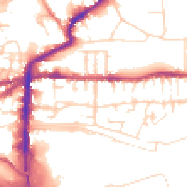
Daytime· 07:00 – 23:00
53.1dB

Night-time· 23:00 – 07:00
42.5dB