20 Admiral Walk, Lincoln, LN2 4RZ
About 20 Admiral Walk
20 Admiral Walk is a two-bedroom semi-detached house in Lincoln (LN2 4RZ). It has a recorded floor area of 57 m² (around 614 sq ft), construction records dating it to 1996-2002 and council tax band B. The latest certificate (July 2012) shows a C (score 69), just inside the C band. When first surveyed in October 2010 the rating was D, the property has climbed 1 band since. Between certificates, lighting dropped from Very Good to Good. The recommended improvements would push it to B (score 89). The latest certificate is from July 2012, so improvements made since then won't be reflected.
Sold June 2021 for £160,000. Across the public record there are 5 sales, relatively high churn for a single property. That sale was during the post-pandemic price surge, when transactions cleared materially above pre-2020 trend. Across 1998–2021, sale prices on this property compounded at 5.8% per year. Today's modelled estimate of £179,000 is 11.9% above the 2021 sale price. On a £-per-square-foot basis, the last sale (£261/sq ft) was about 137.1% above the typical sold price in the postcode.
What this property has
Inside
- Bedrooms2
- Bathrooms1
- EnsuiteYes
Outside
- Private gardenYes
- DrivewayYes
Building
- RefurbishedYes
Everything you need to know about 20 Admiral Walk
The true value, the hidden risks and the full sale history, in one report.
Pick your report · every report is £14.99
One time fee only - money back guarantee

The data behind every report


Energy performance
20 Admiral Walk's EPC is over a decade old — improvements since won't be reflected.
EPC Expired
This certificate is over 10 years old and is no longer valid.Expired 01 Jul 2022
EPC Rating
Property Improvements
Changes detected from historical EPC data
Floor insulation added or improved
Low energy lighting percentage decreased
Get a survey for this property
Level 2 HomeBuyer Report
We've checked 10 risk factors against the available data for this property and believe a Level 2 HomeBuyer Report could be a suitable option for you.
From £495 · Includes VAT
Planning history
20 Admiral Walk has no planning applications on record.
But the area is active
6 notable applications nearby — larger schemes and conversions that could reshape the street. The report maps them all.
Sales history & valuation
Sale price has grown by over 3x since 1998.
£179,000
Modelled from EPC, postcode comparables and a sale-price growth of 5.8% per year over 23 years.
£160,000
Growth on file: 5.8% per year over 23 years.
Sales timeline
24 June 2021Most recent
£160,000
+15.9%over 2 years9 August 2018
£138,000
+16.9%over 7 years9 June 2011
£118,000
+38.0%over 8 years22 May 2003
£85,500
+96.6%over 5 years8 April 1998
£43,500
Median price across the last 5 sales in LN2 4RZ: £170,000 (2025–2024).
Versus other Admiral Walk homes
20 Admiral Walk is notably below the street on floor area.
Price per m²
£2,807
Street avg £2,100
Floor Area
57 m²
Street avg 65 m²
Habitable Rooms
3 rooms
Street avg 4 rooms
CO₂ Emissions
2.2 t/year
Street avg 2.7 t/year
Everything you need to know about 20 Admiral Walk
The true value, the hidden risks and the full sale history, in one report.
Pick your report · every report is £14.99
One time fee only - money back guarantee
The data behind every report
Similar properties nearby
The neighbourhood at a glance
Crime
3/mo
Steady year-on-year across the wider district.
Nearest stop
0.3 km
Christ's Hospital School — bus stop.
Closest school
0.3 km
Lincoln Christ's Hospital School. 16 schools nearby.
Go deeper on the local area
A Local Area report breaks down crime, transport links, schools and air quality in depth.
Road noise across the postcode
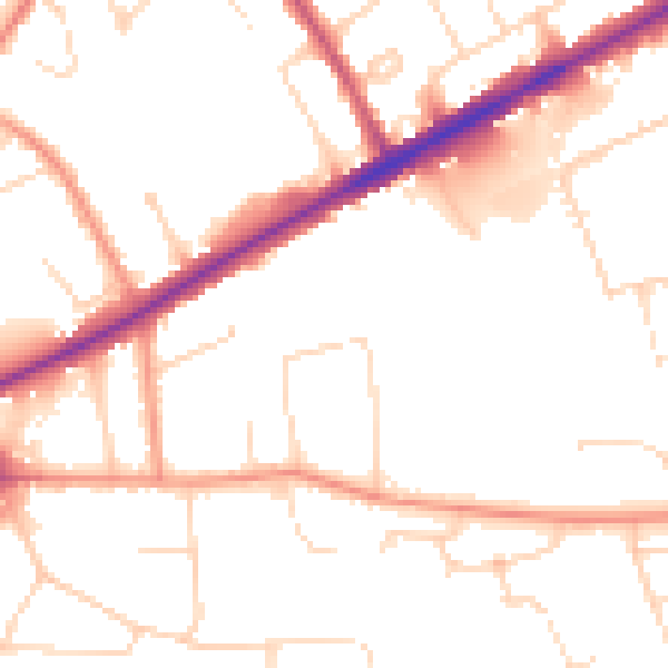
Daytime· 07:00 – 23:00
50.7dB

Night-time· 23:00 – 07:00
40.2dB