1 Austen Walk, Lincoln, LN2 4LP
About 1 Austen Walk
1 Austen Walk is a three-bedroom semi-detached house in Lincoln (LN2 4LP). It has a recorded floor area of 88 m² (around 947 sq ft), construction records dating it to 1930-1949 and council tax band A. The latest certificate (September 2025) shows a C (score 75), near the top of the C band. The rating has held steady at C across 2 certificates since June 2015. Between certificates, roof efficiency went from Good to Very Good; while window efficiency dropped from Average to Poor and lighting dropped from Very Good to Good. The recommended improvements would push it to B (score 81). Other recorded features include a conservatory. The home occupies a corner plot.
Its energy rating outperforms most of the postcode (better than 78% of similar EPCs). Across 2000–2015, sale prices on this property compounded at 6.7% per year. Today's modelled estimate of £201,000 is 48.9% above the 2015 sale price. On a £-per-square-foot basis, the last sale (£143/sq ft) was about 62.2% above the typical sold price in the postcode. On the market in October 2015 and unlisted since — roughly 11 years.
What this property has
Inside
- Bedrooms3
- Dining roomYes
- ConservatoryYes
Outside
- GarageYes
- Corner plotYes
Building
- Heating systemElectric
Everything you need to know about 1 Austen Walk
The true value, the hidden risks and the full sale history, in one report.
Pick your report · every report is £14.99
One time fee only - money back guarantee

The data behind every report


Energy performance
EPC Rating
Property Improvements
Changes detected from historical EPC data
Heating controls changed
Roof insulation improved
More low energy lighting installed
Get a survey for this property
Level 3 Building Survey
Because the property has solid (non-cavity) walls, we believe a Level 3 building survey should be considered.
From £885 · Includes VAT
Planning history
1 Austen Walk has no planning applications on record.
But the area is active
6 notable applications nearby — larger schemes and conversions that could reshape the street. The report maps them all.
Sales history & valuation
Latest sale on 1 Austen Walk was the highest on Land Registry record across the postcode.
£201,000
Modelled from EPC, postcode comparables and a sale-price growth of 6.7% per year over 15 years.
£135,000
Growth on file: 6.7% per year over 15 years.
Sales timeline
12 October 2015Most recent
£135,000
+164.7%over 15 years29 August 2000
£51,000
Median price across the last 5 sales in LN2 4LP: £94,000 (2015–2009).
Versus other Austen Walk homes
Price per m² for 1 Austen Walk runs comfortably ahead of the street norm.
Price per m²
£1,534
Street avg £1,078
Floor Area
88 m²
Street avg 85 m²
Habitable Rooms
4 rooms
Street avg 5 rooms
CO₂ Emissions
2.5 t/year
Street avg 3.8 t/year
Everything you need to know about 1 Austen Walk
The true value, the hidden risks and the full sale history, in one report.
Pick your report · every report is £14.99
One time fee only - money back guarantee
The data behind every report
Similar properties nearby
The neighbourhood at a glance
Crime
3/mo
Steady year-on-year across the wider district.
Nearest stop
0.1 km
Austen Walk — bus stop.
Closest school
0.2 km
St Giles Academy. 15 schools nearby.
Go deeper on the local area
A Local Area report breaks down crime, transport links, schools and air quality in depth.
Road noise across the postcode
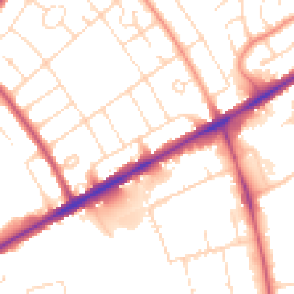
Daytime· 07:00 – 23:00
52.3dB

Night-time· 23:00 – 07:00
41.7dB