10 Ancaster Avenue, Lincoln, LN2 4AY
About 10 Ancaster Avenue
10 Ancaster Avenue is a three-bedroom semi-detached house in Lincoln (LN2 4AY). It has a recorded floor area of 111 m² (around 1195 sq ft), construction records dating it to 1930-1949 and council tax band C. The latest certificate (September 2020) shows a D (score 67), on the cusp of jumping into the C band. The rating has held steady at D across 3 certificates since September 2011. Between certificates, roof efficiency went from Poor to Good; while wall efficiency dropped from Good to Average. The recommended improvements would push it to C (score 80).
Most recent transfer: August 2021 at £310,000. Across the public record there are 4 sales, relatively high churn for a single property. That sale was during the post-pandemic price surge, when transactions cleared materially above pre-2020 trend. Across 1997–2021, sale prices on this property compounded at 6.3% per year. Today's modelled estimate of £346,000 is 11.6% above the 2021 sale price. On a £-per-square-foot basis, the last sale (£259/sq ft) was about 47% above the typical sold price in the postcode. One planning record on file: an extension refused in 2005.
What this property has
Inside
- Bedrooms3
- Bathrooms1
- Dining roomYes
- EnsuiteYes
- StudyYes
- FireplaceYes
Outside
- Private gardenYes
- GarageYes
Building
- Heating systemGas
Everything you need to know about 10 Ancaster Avenue
The true value, the hidden risks and the full sale history, in one report.
Pick your report · every report is £14.99
One time fee only - money back guarantee

The data behind every report


Energy performance
EPC Rating
Property Improvements
Changes detected from historical EPC data
Loft insulation upgraded to recommended levels
Get a survey for this property
Level 2 HomeBuyer Report
We've checked 10 risk factors against the available data for this property and believe a Level 2 HomeBuyer Report could be a suitable option for you.
From £595 · Includes VAT
Planning history
1 application on record at 10 Ancaster Avenue, Lincoln, LN2 4AY
- Mar 2005ExtensionFullOutcome in report
Extension: Side of property
Erection of a dormer extension to side, south roof slope.
- Reference
- 2005/0046/F
Unlock 10 Ancaster Avenue, Lincoln, LN2 4AY's full planning history
You're seeing the shape of it. The report has the substance.
- Every decision — granted, refused or withdrawn (1 on record)
- All 1 application on this property in full, plus 6 notable nearby
- What the pattern means for extending or converting here
One time fee only - money back guarantee
Sales history & valuation
10 Ancaster Avenue has more than quadrupled in price since its earliest registered sale in 1997.
£346,000
Modelled from EPC, postcode comparables and a sale-price growth of 6.3% per year over 24 years.
£310,000
Growth on file: 6.3% per year over 24 years.
Sales timeline
22 August 2021Most recent
£310,000
+50.5%over 9 years5 December 2011
£206,000
+45.1%over 9 years29 November 2002
£142,000
+104.3%over 5 years30 April 1997
£69,500
Median price across the last 5 sales in LN2 4AY: £350,000 (2024–2014).
Nearby sales in LN2 4AY
Versus other Ancaster Avenue homes
On habitable rooms, 10 Ancaster Avenue stands well clear of the street.
Price per m²
£2,793
Street avg £2,664
Floor Area
111 m²
Street avg 113 m²
Habitable Rooms
7 rooms
Street avg 6 rooms
CO₂ Emissions
4.4 t/year
Street avg 3.9 t/year
Everything you need to know about 10 Ancaster Avenue
The true value, the hidden risks and the full sale history, in one report.
Pick your report · every report is £14.99
One time fee only - money back guarantee
The data behind every report
Similar properties nearby
The neighbourhood at a glance
Crime
3/mo
Steady year-on-year across the wider district.
Nearest stop
0.1 km
Maternity Unit — bus stop.
Closest school
0.4 km
Lincoln Christ's Hospital School. 16 schools nearby.
Go deeper on the local area
A Local Area report breaks down crime, transport links, schools and air quality in depth.
Road noise across the postcode
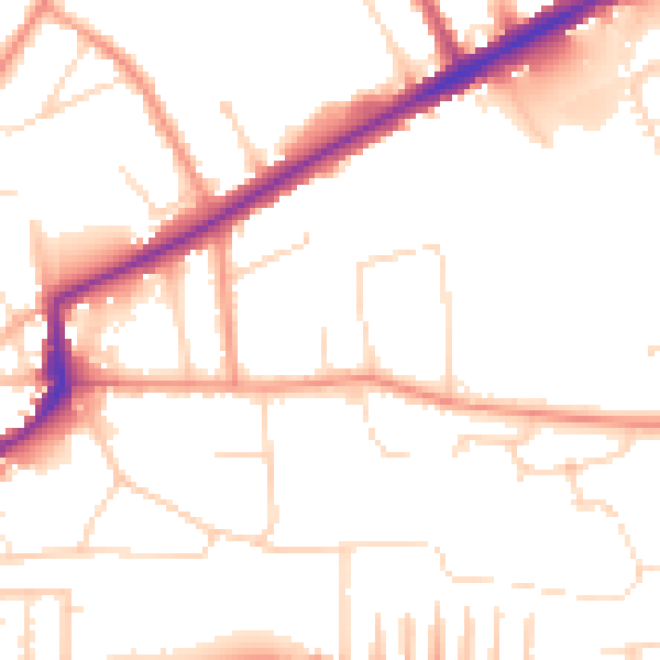
Daytime· 07:00 – 23:00
51.1dB

Night-time· 23:00 – 07:00
40.6dB