9 Ashing Lane, Dunholme, Lincoln, LN2 3NN
About 9 Ashing Lane
9 Ashing Lane is a two-bedroom detached house in Dunholme, Lincoln, Lincoln (LN2 3NN). It has a recorded floor area of 199 m² (around 2142 sq ft), construction records dating it to before 1900 and council tax band C. The latest certificate (July 2015) shows a D (score 68), on the cusp of jumping into the C band. The recommended improvements would lift it to B (score 82), a 2-band jump. The latest certificate is from July 2015, so improvements made since then won't be reflected.
Untraded for 19 years, with the last transfer in June 2007. That sale landed at the peak of the pre-credit-crunch market, which is a useful reference point when interpreting the price. At 199 m² the property is well over the postcode median (114 m² across 14 EPCs), placing it in the larger end of the local stock. Today's modelled estimate of £363,000 sits 96.2% above the 2007 sale of £185,000. On a £-per-square-foot basis, the last sale (£86/sq ft) was about 50.4% below the postcode norm. 2 planning records sit against the property, 2 approved, 0 refused. Past consents include an extension, meaningful when judging how the property has evolved.
What this property has
Inside
- Bedrooms2
Everything you need to know about 9 Ashing Lane
The true value, the hidden risks and the full sale history, in one report.
Pick your report · every report is £14.99
One time fee only - money back guarantee

The data behind every report


Energy performance
9 Ashing Lane's carbon output runs well above what efficient homes in the postcode produce.
EPC Expired
This certificate is over 10 years old and is no longer valid.Expired 22 Jul 2025
EPC Rating
Get a survey for this property
Level 3 Building Survey
Because the property was built before 1919, has been extended more than once, and has solid (non-cavity) walls, we believe a Level 3 building survey should be considered.
From £955 · Includes VAT
Planning history
Council records include a two-storey side extension at 9 Ashing Lane.
2 applications on record at 9 Ashing Lane, Dunholme, Lincoln, LN2 3NN
- Jan 2008ExtensionFullOutcome in report
Planning Application for 2 storey extension to existing detached house, plus new detached double garage
- Reference
- 121334
- More recent applications — locked
- ExtensionOct 2012Decision
Unlock 9 Ashing Lane, Dunholme, Lincoln, LN2 3NN's full planning history
You're seeing the shape of it. The report has the substance.
- Every decision — granted, refused or withdrawn (2 on record)
- All 2 applications on this property in full, plus 1 notable nearby
- The 10 documents, officer reports & conditions
- What the pattern means for extending or converting here
One time fee only - money back guarantee
Sales history & valuation
The latest sale landed at the peak of the pre-credit-crunch market — a high-water reference point.
£363,000
Modelled from EPC, postcode comparables.
£185,000
Recorded with HM Land Registry.
Sales timeline
14 June 2007Most recent
£185,000
Median price across the last 5 sales in LN2 3NN: £270,000 (2025–2016).
Nearby sales in LN2 3NN
1 Ashing Lane, Dunholme, Lincoln, LN2 3NN
Sold Jan 2025
£260,00021 Ashing Lane, Dunholme, Lincoln, LN2 3NN
Sold Nov 2022
£330,0005 Ashing Lane, Dunholme, Lincoln, LN2 3NN
Sold May 2022
£270,00010 Ashing Lane, Dunholme, Lincoln, LN2 3NN
Sold Mar 2022
£451,00016 Ashing Lane, Dunholme, Lincoln, LN2 3NN
Sold May 2016
£207,500
Versus other Ashing Lane homes
Price per m² for 9 Ashing Lane lags the street by a wide margin.
Price per m²
£930
Street avg £2,026
Floor Area
199 m²
Street avg 126 m²
Habitable Rooms
9 rooms
Street avg 6 rooms
CO₂ Emissions
7.0 t/year
Street avg 4.9 t/year
Everything you need to know about 9 Ashing Lane
The true value, the hidden risks and the full sale history, in one report.
Pick your report · every report is £14.99
One time fee only - money back guarantee
The data behind every report
Similar properties nearby
1 Creasy Drive, Dunholme
LN2 3TB
1 Chancel Court, Welton
LN2 3NT
1 Ashing Lane, Dunholme
LN2 3NN
1 Ayam Close, Welton
LN2 3QG
1 Bramble Close, Welton
LN2 3TX
1 Brinkhall Way, Welton
LN2 3NS
1 Arrow Mews, Dunholme
LN2 3GB
1 Allwood Road, Dunholme
LN2 3SG
The neighbourhood at a glance
Crime
3/mo
Steady year-on-year across the wider district.
Nearest stop
0.2 km
Coop Store — bus stop.
Closest school
0.5 km
Dunholme St Chad's Church of England Primary School. 4 schools nearby.
Go deeper on the local area
A Local Area report breaks down crime, transport links, schools and air quality in depth.
Road noise across the postcode
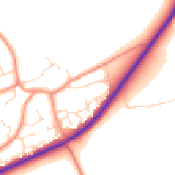
Daytime· 07:00 – 23:00
51.6dB

Night-time· 23:00 – 07:00
42.3dB