13 Ryland Road, Dunholme, Lincoln, LN2 3NG
About 13 Ryland Road
13 Ryland Road is a four-bedroom detached house in Dunholme, Lincoln, Lincoln (LN2 3NG). It has a recorded floor area of 114 m² (around 1229 sq ft), construction records dating it to before 1900 and council tax band C. The latest certificate (January 2010) shows a D (score 67), on the cusp of jumping into the C band. The recommended improvements would push it to C (score 73). The latest certificate is from January 2010, so improvements made since then won't be reflected.
Held since September 1998 — that's 28 years off the open market, well above the local norm. Only one transfer is on record with HM Land Registry, suggesting it has stayed in the same hands for a long time. At 114 m² the property is well over the postcode median (73 m² across 3 EPCs), placing it in the larger end of the local stock. Today's modelled estimate of £292,000 sits 472.5% above the 1998 sale of £51,000. On a £-per-square-foot basis, the last sale (£41/sq ft) was about 81.8% below the postcode norm. 2 planning records sit against the property, 2 approved, 0 refused. Past consents include an extension, meaningful when judging how the property has evolved.
What this property has
Inside
- Bedrooms4
Outside
- GarageYes
Building
- RefurbishedYes
Everything you need to know about 13 Ryland Road
The true value, the hidden risks and the full sale history, in one report.
Pick your report · every report is £14.99
One time fee only - money back guarantee

The data behind every report


Energy performance
13 Ryland Road's EPC is over a decade old — improvements since won't be reflected.
EPC Expired
This certificate is over 10 years old and is no longer valid.Expired 27 Jan 2020
EPC Rating
Get a survey for this property
Level 3 Building Survey
Because the property was built before 1919 and has been extended more than once, we believe a Level 3 building survey should be considered.
From £885 · Includes VAT
Planning history
13 Ryland Road has an approved single-storey extension on the planning record.
2 applications on record at 13 Ryland Road, Dunholme, Lincoln, LN2 3NG
- Oct 2003ExtensionFullOutcome in report
Extension: Single storey
PLANNING APPLICATION TO ERECT A SINGLE STOREY EXTENSION AND PUT A PITCHED ROOF OVER THE EXISTING TWO STOREY EXTENSION
- Reference
- M03/P/0865
- More recent applications — locked
- FullJan 2008Decision
Unlock 13 Ryland Road, Dunholme, Lincoln, LN2 3NG's full planning history
You're seeing the shape of it. The report has the substance.
- Every decision — granted, refused or withdrawn (2 on record)
- All 2 applications on this property in full, plus 1 notable nearby
- What the pattern means for extending or converting here
One time fee only - money back guarantee
Sales history & valuation
13 Ryland Road's modelled value sits at over four times its earliest registered sale price (1998).
£292,000
Modelled from EPC, postcode comparables.
£51,000
Recorded with HM Land Registry.
Sales timeline
22 September 1998Most recent
£51,000
Median price across the last 5 sales in LN2 3NG: £203,000 (2023–2006).
Nearby sales in LN2 3NG
9 Ryland Road, Dunholme, Lincoln, LN2 3NG
Sold Nov 2023
£160,0005 Ryland Road, Dunholme, Lincoln, LN2 3NG
Sold Jul 2019
£223,0004 Ryland Road, Dunholme, Lincoln, LN2 3NG
Sold Mar 2019
£245,0001 Ryland Road, Dunholme, Lincoln, LN2 3NG
Sold Sept 2002
£105,00011 Ryland Road, Dunholme, Lincoln, LN2 3NG
Sold Sept 1997
£40,500
Versus other Ryland Road homes
13 Ryland Road is notably below the street on price per m².
Price per m²
£447
Street avg £2,619
Floor Area
114 m²
Street avg 80 m²
Habitable Rooms
6 rooms
Street avg 5 rooms
CO₂ Emissions
3.8 t/year
Street avg 3.6 t/year
Everything you need to know about 13 Ryland Road
The true value, the hidden risks and the full sale history, in one report.
Pick your report · every report is £14.99
One time fee only - money back guarantee
The data behind every report
Similar properties nearby
1 Arrow Mews, Dunholme
LN2 3GB
1 Chapter Close, Welton
LN2 3FS
1 Ashing Lane, Dunholme
LN2 3NN
1 Ayam Close, Welton
LN2 3QG
1 Bramble Close, Welton
LN2 3TX
1 Chancel Court, Welton
LN2 3NT
1 Brinkhall Way, Welton
LN2 3NS
1 Allwood Road, Dunholme
LN2 3SG
The neighbourhood at a glance
Crime
3/mo
Steady year-on-year across the wider district.
Nearest stop
0.1 km
Ryland Road — bus stop.
Closest school
0.3 km
Dunholme St Chad's Church of England Primary School. 4 schools nearby.
Go deeper on the local area
A Local Area report breaks down crime, transport links, schools and air quality in depth.
Road noise across the postcode
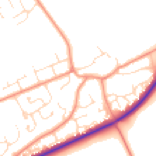
Daytime· 07:00 – 23:00
50.2dB

Night-time· 23:00 – 07:00
40.2dB