14 Arnside, Liverpool, L21 5JH
About 14 Arnside
14 Arnside is a detached house in Liverpool (L21 5JH). It has a recorded floor area of 112 m² (around 1206 sq ft), construction records dating it to 1930-1949 and council tax band E. The latest certificate (November 2014) shows an F (score 23), near the bottom of the EPC scale. The recommended improvements would lift it to D (score 59), a 2-band jump. The latest certificate is from November 2014, so improvements made since then won't be reflected.
At 112 m² the property is well over the postcode median (72 m² across 17 EPCs), placing it in the larger end of the local stock. It lags the bulk of the postcode on energy efficiency (less efficient than 82% of similar EPCs).
Everything you need to know about 14 Arnside
The true value, the hidden risks and the full sale history, in one report.
30-day money-back guarantee

The data behind every report


Energy performance
14 Arnside's carbon output runs well above what efficient homes in the postcode produce.
EPC Expired
This certificate is over 10 years old and is no longer valid.Expired 07 Nov 2024
EPC Rating
Planning history
14 Arnside has no planning applications on record.
The full report still covers planning activity across the surrounding area.
Sales history & valuation
14 Arnside has no Land Registry sales on file, suggesting it has stayed in the same hands since registration began.
£289,000
Modelled from EPC, postcode comparables.
No sales recorded with HM Land Registry
That can mean the property has never traded since the registry began publishing in 1995, was a new build that hasn't been registered yet, or is held in the same hands long-term.
Median price across the last 5 sales in L21 5JH: £210,000 (2025–2019).
Versus other Arnside homes
CO₂ Emissions for 14 Arnside lags the street by a wide margin.
EPC Rating
23 (F)
Street avg 47 (E)
Floor Area
112 m²
Street avg 83 m²
CO₂ Emissions
12.0 t/year
Street avg 5.5 t/year
Habitable Rooms
5 rooms
Street avg 4 rooms
Everything you need to know about 14 Arnside
The true value, the hidden risks and the full sale history, in one report.
30-day money-back guarantee
The data behind every report
Similar properties nearby
1 Thirlmere Drive
L21 5JL
1 Thornbridge Avenue
L21 5JU
10 Silverdale Drive
L21 5HU
1 Kirkstone Road South
L21 5HJ
1 Netherton Park Road
L21 5JD
1 St Matthews Avenue
L21 5JP
1 Ennerdale Drive
L21 5HX
11 Arnside
L21 5JH
The neighbourhood at a glance
Reported crime in the wider district is trending notably upward year-on-year.
Crime
4/mo
Rising year-on-year across the wider district.
Nearest stop
0.2 km
Boundary Road — bus stop.
Closest school
0.4 km
The Salesian Academy of St John Bosco. 41 schools nearby.
Go deeper on the local area
The full report breaks down crime, transport links, schools and air quality in depth.
Road noise across the postcode
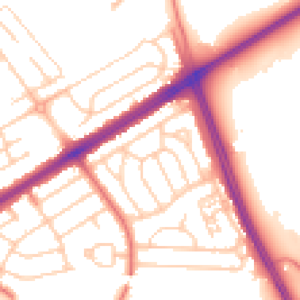
Daytime· 07:00 – 23:00
53.8dB

Night-time· 23:00 – 07:00
44.1dB