6 Ecclesall Avenue, Liverpool, L21 5HQ
About 6 Ecclesall Avenue
6 Ecclesall Avenue is a three-bedroom semi-detached house in Liverpool (L21 5HQ). It has a recorded floor area of 92 m² (around 990 sq ft), construction records dating it to 1930-1949 and council tax band C. The latest certificate (May 2025) shows a C (score 71). When first surveyed in July 2014 the rating was E, the property has climbed 2 bands since. Between certificates, wall efficiency went from Poor to Average, roof efficiency went from Average to Good and lighting went from Good to Very Good. The recommended improvements would push it to B (score 84).
Untraded for 24 years, with the last transfer in August 2002. Today's modelled estimate of £227,000 sits 144.2% above the 2002 sale of £92,950. On a £-per-square-foot basis, the last sale (£94/sq ft) was about 36.1% below the postcode norm. Its energy rating outperforms most of the postcode (better than 88% of similar EPCs).
What this property has
Inside
- Bedrooms3
- Bathrooms1
Everything you need to know about 6 Ecclesall Avenue
The true value, the hidden risks and the full sale history, in one report.
30-day money-back guarantee

The data behind every report


Energy performance
EPC Rating
Property Improvements
Changes detected from historical EPC data
Heating controls upgraded for better temperature management
Cavity wall insulation installed
Roof insulation improved
More low energy lighting installed
Planning history
6 Ecclesall Avenue has no planning applications on record.
The full report still covers planning activity across the surrounding area.
Sales history & valuation
6 Ecclesall Avenue valuation sits well clear of the typical sold price in this postcode.
£227,000
Modelled from EPC, postcode comparables.
£92,950
Recorded with HM Land Registry.
Sales timeline
4 August 2002Most recent
£92,950
Median price across the last 5 sales in L21 5HQ: £193,000 (2025–2018).
Nearby sales in L21 5HQ
Versus other Ecclesall Avenue homes
6 Ecclesall Avenue outperforms the street on epc rating by a wide margin.
Price per m²
£1,010
Street avg £1,753
Floor Area
92 m²
Street avg 94 m²
Habitable Rooms
5 rooms
Street avg 5 rooms
CO₂ Emissions
3.1 t/year
Street avg 4.4 t/year
Everything you need to know about 6 Ecclesall Avenue
The true value, the hidden risks and the full sale history, in one report.
30-day money-back guarantee
The data behind every report
Similar properties nearby
1 Hawkshead Drive
L21 5JE
11 Ennerdale Drive
L21 5HX
10 Arnside
L21 5JH
10 St Matthews Avenue
L21 5JS
1 Silverdale Drive
L21 5HT
1 Ennerdale Drive
L21 5HX
1 Netherton Park Road
L21 5JD
10 Silverdale Drive
L21 5HU
The neighbourhood at a glance
Reported crime in the wider district is trending notably upward year-on-year.
Crime
4/mo
Rising year-on-year across the wider district.
Nearest stop
0.1 km
Eccleshall Avenue — bus stop.
Closest school
0.4 km
St Philip's Church of England Controlled Primary School. 42 schools nearby.
Go deeper on the local area
The full report breaks down crime, transport links, schools and air quality in depth.
Road noise across the postcode
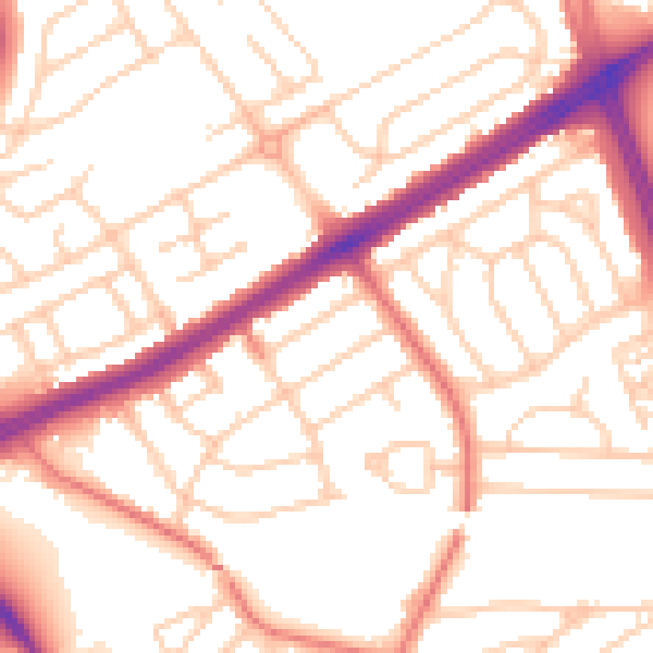
Daytime· 07:00 – 23:00
53.3dB

Night-time· 23:00 – 07:00
42.4dB