20 Ecclesall Avenue, Liverpool, L21 5HQ
About 20 Ecclesall Avenue
20 Ecclesall Avenue is a three-bedroom semi-detached house in Liverpool (L21 5HQ). It has a recorded floor area of 99 m² (around 1066 sq ft), construction records dating it to 1930-1949 and council tax band C. The latest certificate (March 2016) shows a D (score 68), on the cusp of jumping into the C band. The recommended improvements would lift it to B (score 83), a 2-band jump. The latest certificate is from March 2016, so improvements made since then won't be reflected.
Across 2002–2016, sale prices on this property compounded at 4.3% per year. Today's modelled estimate of £260,000 sits 55.7% above the 2016 sale of £167,000. Last sold in June 2016, so it's been off the market for around 10 years.
What this property has
Inside
- Bedrooms3
- Bathrooms1
- Open-plan layoutYes
- Dining roomYes
Outside
- Private gardenYes
- DrivewayYes
Building
- Central heatingYes
Everything you need to know about 20 Ecclesall Avenue
The true value, the hidden risks and the full sale history, in one report.
30-day money-back guarantee

The data behind every report


Energy performance
Recommended upgrades on file would lift this property by multiple EPC bands.
EPC Expired
This certificate is over 10 years old and is no longer valid.Expired 02 Mar 2026
EPC Rating
Planning history
20 Ecclesall Avenue has no planning applications on record.
The full report still covers planning activity across the surrounding area.
Sales history & valuation
20 Ecclesall Avenue valuation sits well clear of the typical sold price in this postcode.
£260,000
Modelled from EPC, postcode comparables and a sale-price growth of 4.3% per year over 14 years.
£167,000
Growth on file: 4.3% per year over 14 years.
Sales timeline
1 June 2016Most recent
£167,000
+77.7%over 13 years29 August 2002
£94,000
Median price across the last 5 sales in L21 5HQ: £193,000 (2025–2018).
Nearby sales in L21 5HQ
Versus other Ecclesall Avenue homes
20 Ecclesall Avenue outperforms the street on epc rating by a wide margin.
Price per m²
£1,687
Street avg £1,656
Floor Area
99 m²
Street avg 93 m²
Habitable Rooms
5 rooms
Street avg 5 rooms
CO₂ Emissions
3.7 t/year
Street avg 4.3 t/year
Everything you need to know about 20 Ecclesall Avenue
The true value, the hidden risks and the full sale history, in one report.
30-day money-back guarantee
The data behind every report
Similar properties nearby
1 Ennerdale Drive
L21 5HX
1 Netherton Park Road
L21 5JD
10 Silverdale Drive
L21 5HU
11 Ennerdale Drive
L21 5HX
1 Hawkshead Drive
L21 5JE
1 Thornbridge Avenue
L21 5JU
10 Arnside
L21 5JH
10 St Matthews Avenue
L21 5JS
The neighbourhood at a glance
Reported crime in the wider district is trending notably upward year-on-year.
Crime
4/mo
Rising year-on-year across the wider district.
Nearest stop
0.1 km
Eccleshall Avenue — bus stop.
Closest school
0.4 km
St Philip's Church of England Controlled Primary School. 42 schools nearby.
Go deeper on the local area
The full report breaks down crime, transport links, schools and air quality in depth.
Road noise across the postcode
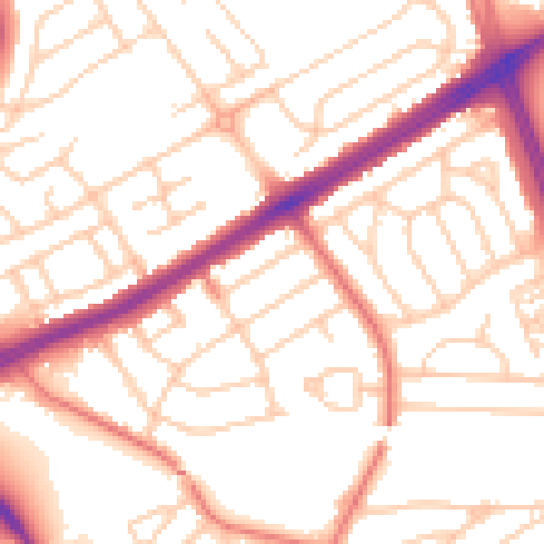
Daytime· 07:00 – 23:00
53.3dB

Night-time· 23:00 – 07:00
42.4dB