Little Orchards, Church Walk, Mildenhall, Bury St Edmunds, IP28 7ED
About Little Orchards
Little Orchards is a detached house in Mildenhall, Bury St. Edmunds, Bury St Edmunds (IP28 7ED). It has a recorded floor area of 149 m² (around 1604 sq ft) and construction records dating it to 1967-1975. The latest certificate (September 2016) returns a B (score 84), comfortably above the UK average.
At 149 m² it's 21.1% larger than the typical home in the postcode (123 m² median across 21 EPCs). On energy efficiency it sits in the top 10% of properties in this postcode. 2 planning records sit against the property, 0 approved, 0 refused. The record references conservation-area consent, which constrain future alterations. Across 1996–2018, sale prices on this property compounded at 6.3% per year. Today's modelled estimate of £489,000 is 30.4% above the 2018 sale price. On a £-per-square-foot basis, the last sale (£234/sq ft) was about 51.5% above the typical sold price in the postcode. 8 years since the last transfer (February 2018).
Know exactly what you're buying at Little Orchards
Before you offer, see what the listing won't tell you, the true value, the red flags and the full history.
Valuation
against the asking price
Risks
planning & flood
Sold prices
similar homes nearby
Trends
the local market
Energy performance
Little Orchards ranks among the most efficient homes in the postcode for energy use.
EPC Rating
Planning history
Planning history at Little Orchards is exclusively tree-management applications — typical for a property with mature trees on or near the plot.
- Apr 2025Tree WorksTreesIn report
Trees in a conservation area notification - one Spruce (indicated on plan) fell
Conservation Area- Documents
- 12 docs on file
- Reference
- DC/25/0465/TCA
- Feb 2024Tree WorksTreesIn report
Trees in a conservation area notification - a. six conifer and one pine (marked on plan) fell b. one Walnut (marked on plan) remove one lower branch resting on flint wall
Conservation Area- Documents
- 6 docs on file
- Reference
- DC/24/0137/TCA
What's in Little Orchards, Church Walk, Mildenhall, Bury St Edmunds, IP28 7ED's planning history?
Refusals, disputes and full decisions on this property and nearby, in the report.
Sales history & valuation
Latest sale on Little Orchards was the highest on Land Registry record across the postcode.
£489,000
Modelled from EPC, postcode comparables and a sale-price growth of 6.3% per year over 22 years.
£375,000
Growth on file: 6.3% per year over 22 years.
Sales timeline
13 February 2018Most recent
£375,000
+29.3%over 11 years30 July 2006
£290,000
+197.4%over 10 years14 March 1996
£97,500
Median price across the last 5 sales in IP28 7ED: £345,000 (2022–2018).
Nearby sales in IP28 7ED
1 Church Walk, Mildenhall, Bury St Edmunds, IP28 7ED
Sold Jul 2022
£345,0004 Church Walk, Mildenhall, Bury St Edmunds, IP28 7ED
Sold Jun 2021
£325,00014 Church Walk, Mildenhall, Bury St Edmunds, IP28 7ED
Sold Nov 2020
£308,00016 Church Walk, Mildenhall, Bury St Edmunds, IP28 7ED
Sold Nov 2020
£374,0009 Church Walk, Mildenhall, Bury St Edmunds, IP28 7ED
Sold Jul 2018
£355,000
Everything we know about Little Orchards, in one report
What it's really worth, what could be wrong, and the planning, sales and area data in full.
- Am I paying too much?
- Is something wrong with it?
- Is the agent's story true?
- Will it hold its value?

Versus other Church Walk homes
On epc rating, Little Orchards stands well clear of the street.
Price per m²
£2,517
Street avg £1,944
Floor Area
149 m²
Street avg 146 m²
Habitable Rooms
6 rooms
Street avg 6 rooms
CO₂ Emissions
3.2 t/year
Street avg 5.5 t/year
Similar properties nearby
1 Cobblers Court, St Andrews Street, Mildenhall
IP28 7QG
1 Church Walk, Mildenhall
IP28 7ED
1 Boeing Way, Mildenhall
IP28 7RJ
1 Bridge Farm Close, Mildenhall
IP28 7FF
1 Amy Johnson Court, Mildenhall
IP28 7QR
1 Cypress Close, Mildenhall
IP28 7SH
1 Breckland Way, Mildenhall
IP28 7AG
1 Charles Melrose Close, Mildenhall
IP28 7BA
The neighbourhood at a glance
Daytime road noise here sits well below conversation level — a quiet pocket of the postcode.
Crime
3/mo
Steady year-on-year across the wider district.
Nearest stop
0.2 km
St Marys Church — bus stop.
Closest school
0.7 km
St Mary's Church of England Academy. 3 schools nearby.
Go deeper on the local area
The full report breaks down crime, transport links, schools and air quality in depth.
Road noise across the postcode
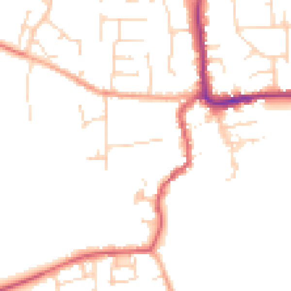
Daytime· 07:00 – 23:00
48.3dB
Night-time· 23:00 – 07:00
39.7dB