14 Church Walk, Mildenhall, Bury St Edmunds, IP28 7ED
About 14 Church Walk
14 Church Walk is a three-bedroom semi-detached house in Mildenhall, Bury St. Edmunds, Bury St Edmunds (IP28 7ED). It has a recorded floor area of 116 m² (around 1249 sq ft), construction records dating it to 1950-1966 and council tax band C. The latest certificate (July 2020) shows a C (score 75), near the top of the C band. When first surveyed in October 2009 the rating was D, the property has climbed 1 band since. Between certificates, wall efficiency went from Poor to Average, roof efficiency went from Average to Good and window efficiency went from Average to Good. The recommended improvements would push it to B (score 85). Records show the property has been extended at some point in its history. The home occupies a cul-de-sac position.
Last sale on file: £308,000 in November 2020. Across the public record there are 5 sales, relatively high churn for a single property. Across 2004–2020, sale prices on this property compounded at 3.9% per year. Today's modelled estimate of £347,000 is 12.7% above the 2020 sale price. On a £-per-square-foot basis, the last sale (£247/sq ft) was about 59.8% above the typical sold price in the postcode.
Know exactly what you're buying at 14 Church Walk
Before you offer, see what the listing won't tell you, the true value, the red flags and the full history.
Valuation
against the asking price
Risks
planning & flood
Sold prices
similar homes nearby
Trends
the local market
What this property has
Inside
- Bedrooms3
- Bathrooms2
- Dining roomYes
Outside
- Cul-de-sacYes
Building
- Previously extendedYes
- RefurbishedYes
Energy performance
EPC Rating
Property Improvements
Changes detected from historical EPC data
Heating controls changed
Low energy lighting percentage decreased
Heating controls upgraded for better temperature management
Window efficiency improved
Cavity wall insulation installed
Loft insulation upgraded to recommended levels
More low energy lighting installed
Planning history
14 Church Walk has no planning applications on record.
The full report still covers planning activity across the surrounding area.
Sales history & valuation
14 Church Walk has changed hands more often than typical for the area.
£347,000
Modelled from EPC, postcode comparables and a sale-price growth of 3.9% per year over 16 years.
£308,000
Growth on file: 3.9% per year over 16 years.
Sales timeline
20 November 2020Most recent
£308,000
+13.0%over 3 years17 March 2017
£272,500
+39.7%over 3 years13 June 2013
£195,000
+6.6%over 7 years15 August 2005
£183,000
+10.9%over 1 year11 July 2004
£165,000
Median price across the last 5 sales in IP28 7ED: £355,000 (2022–2018).
Nearby sales in IP28 7ED
1 Church Walk, Mildenhall, Bury St Edmunds, IP28 7ED
Sold Jul 2022
£345,0004 Church Walk, Mildenhall, Bury St Edmunds, IP28 7ED
Sold Jun 2021
£325,00016 Church Walk, Mildenhall, Bury St Edmunds, IP28 7ED
Sold Nov 2020
£374,0009 Church Walk, Mildenhall, Bury St Edmunds, IP28 7ED
Sold Jul 2018
£355,000Little Orchards, Church Walk, Mildenhall, Bury St Edmunds, IP28 7ED
Sold Feb 2018
£375,000
Everything we know about 14 Church Walk, in one report
What it's really worth, what could be wrong, and the planning, sales and area data in full.
- Am I paying too much?
- Is something wrong with it?
- Is the agent's story true?
- Will it hold its value?

Versus other Church Walk homes
CO₂ Emissions for 14 Church Walk runs comfortably ahead of the street norm.
Price per m²
£2,655
Street avg £1,930
Floor Area
116 m²
Street avg 148 m²
Habitable Rooms
6 rooms
Street avg 6 rooms
CO₂ Emissions
3.2 t/year
Street avg 5.5 t/year
Similar properties nearby
1 Boeing Way, Mildenhall
IP28 7RJ
1 Amy Johnson Court, Mildenhall
IP28 7QR
1 Breckland Way, Mildenhall
IP28 7AG
1 Blooms Court, Mildenhall
IP28 7GB
1 Brent Close, Mildenhall
IP28 7LG
1 De Havilland Court, Mildenhall
IP28 7QS
1 College Heath Road, Mildenhall
IP28 7PH
1 Church Walk, Mildenhall
IP28 7ED
The neighbourhood at a glance
Daytime road noise here sits well below conversation level — a quiet pocket of the postcode.
Crime
3/mo
Steady year-on-year across the wider district.
Nearest stop
0.2 km
St Marys Church — bus stop.
Closest school
0.7 km
St Mary's Church of England Academy. 3 schools nearby.
Go deeper on the local area
The full report breaks down crime, transport links, schools and air quality in depth.
Road noise across the postcode
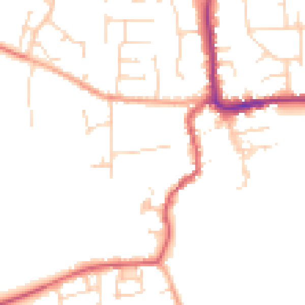
Daytime· 07:00 – 23:00
48.3dB

Night-time· 23:00 – 07:00
39.7dB