4 West Road, Watton, Thetford, IP25 6AU
About 4 West Road
4 West Road is a semi-detached house in Watton, Thetford, Thetford (IP25 6AU). It has a recorded floor area of 86 m² (around 926 sq ft), construction records dating it to 1950-1966 and council tax band B. The latest certificate (July 2017) shows an E (score 54), well below the UK norm with real room to improve. The recommended improvements would lift it to B (score 83), a 3-band jump.
At 86 m² the property is well over the postcode median (57 m² across 24 EPCs), placing it in the larger end of the local stock. On energy efficiency it sits in the bottom 10% of properties in this postcode — significant headroom for improvement. Across 2017–2018, sale prices on this property compounded at 35.5% per year. Today's modelled estimate of £245,000 is 22.5% above the 2018 sale price. On a £-per-square-foot basis, the last sale (£216/sq ft) was about 35.5% above the typical sold price in the postcode. Sold December 2018 for £200,000.
Know exactly what you're buying at 4 West Road
Before you offer, see what the listing won't tell you, the true value, the red flags and the full history.
Already flagged here
Valuation
against the asking price
Risks
planning & flood
Sold prices
similar homes nearby
Trends
the local market
Energy performance
4 West Road sits at the bottom of the postcode for energy efficiency — meaningful headroom to improve.
EPC Rating
Planning history
4 West Road has no planning applications on record.
Notable planning nearby
5applications of note in the surrounding area
We flagged 2 things worth checking at 4 West Road
Independent checks surfaced things a buyer would want to understand before offering. The report explains each one in full, with the underlying data and what to ask.
- Larger development activity nearby
- Recent ownership pattern worth a look
30-day money-back guarantee
Sales history & valuation
4 West Road changed hands twice within eighteen months — unusual for the area.
£245,000
Modelled from EPC, postcode comparables and a sale-price growth of 35.5% per year over 1 year.
£200,000
Growth on file: 35.5% per year over 1 year.
Sales timeline
11 December 2018Most recent
£200,000
+42.9%over 1 year8 October 2017
£140,000
Median price across the last 5 sales in IP25 6AU: £178,000 (2024–2015).
Nearby sales in IP25 6AU
8 West Road, Watton, Thetford, IP25 6AU
Sold Dec 2024
£210,00013 West Road, Watton, Thetford, IP25 6AU
Sold Feb 2024
£282,50021 West Road, Watton, Thetford, IP25 6AU
Sold Aug 2022
£170,0003 West Road, Watton, Thetford, IP25 6AU
Sold Jan 2018
£178,00015 West Road, Watton, Thetford, IP25 6AU
Sold Oct 2015
£134,000
Everything we know about 4 West Road, in one report
What it's really worth, what could be wrong, and the planning, sales and area data in full.
What we flagged
- Larger development activity nearby
- Recent ownership pattern worth a look

Versus other West Road homes
On epc rating, 4 West Road runs well behind the street norm.
Price per m²
£2,326
Street avg £2,275
Floor Area
86 m²
Street avg 81 m²
Habitable Rooms
6 rooms
Street avg 4 rooms
CO₂ Emissions
5.8 t/year
Street avg 3.3 t/year
Similar properties nearby
1 Britannia Road, Griston
IP25 6FU
1 Adland Road, Carbrooke
IP25 6GP
1 Buckingham Close, Carbrooke
IP25 6WL
1 Bridle Road, Watton
IP25 6NA
1 Broadmoor Cottage, Broadmoor Road, Carbrooke
IP25 6TE
1 Badger Drive, Watton
IP25 6ZN
1 Bluebell Close, Watton
IP25 6HG
1 Akrotiri Square, Watton
IP25 6HY
The neighbourhood at a glance
Daytime road noise here sits well below conversation level — a quiet pocket of the postcode.
Crime
3/mo
Steady year-on-year across the wider district.
Closest school
0.1 km
Watton Westfield Infant and Nursery School. 4 schools nearby.
Go deeper on the local area
The full report breaks down crime, transport links, schools and air quality in depth.
Road noise across the postcode
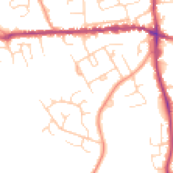
Daytime· 07:00 – 23:00
48.6dB

Night-time· 23:00 – 07:00
40.3dB