70 The Drive, Loughton, IG10 1HG
About 70 The Drive
70 The Drive is a five-bedroom semi-detached house in Loughton (IG10 1HG). It has a recorded floor area of 321 m² (around 3455 sq ft), construction records dating it to 1930-1949 and council tax band G. The latest certificate (October 2023) shows a C (score 71). When first surveyed in June 2013 the rating was D, the property has climbed 1 band since. Between certificates, wall efficiency went from Very Poor to Good, roof efficiency went from Very Poor to Very Good and lighting went from Very Poor to Very Good. Other recorded features include outbuildings. Period features are noted in the property record. Records show the property has been extended at some point in its history.
At 321 m² the property is well over the postcode median (117 m² across 5 EPCs), placing it in the larger end of the local stock. On energy efficiency it sits in the top 10% of properties in this postcode. Across 2000–2024, sale prices on this property compounded at 5.3% per year. Today's modelled estimate of £1,787,000 is 28.1% above the 2024 sale price. Last sale on file: £1,395,000 in November 2024.
Know exactly what you're buying at 70 The Drive
Before you offer, see what the listing won't tell you, the true value, the red flags and the full history.
Valuation
against the asking price
Risks
planning & flood
Sold prices
similar homes nearby
Trends
the local market
What this property has
Inside
- Bedrooms5
- Bathrooms5
Outside
- Private gardenSouth-facing
- ParkingOff street
- OutbuildingsYes
Building
- Period featuresYes
- Previously extendedYes
- RefurbishedYes
Energy performance
70 The Drive ranks among the most efficient homes in the postcode for energy use.
EPC Rating
Property Improvements
Changes detected from historical EPC data
Heating controls upgraded for better temperature management
Windows upgraded, improving insulation
Wall insulation improved
Roof insulation improved
More low energy lighting installed
Planning history
70 The Drive has no planning applications on record.
The full report still covers planning activity across the surrounding area.
Sales history & valuation
Latest sale on 70 The Drive was the highest on Land Registry record across the postcode.
£1,787,000
Modelled from EPC, postcode comparables and a sale-price growth of 5.3% per year over 25 years.
£1,395,000
Growth on file: 5.3% per year over 25 years.
Sales timeline
28 November 2024Most recent
£1,395,000
+38.8%over 6 years29 November 2017
£1,005,000
+154.4%over 17 years18 April 2000
£395,000
Median price across the last 5 sales in IG10 1HG: £755,000 (2025–2018).
Everything we know about 70 The Drive, in one report
What it's really worth, what could be wrong, and the planning, sales and area data in full.
- Am I paying too much?
- Is something wrong with it?
- Is the agent's story true?
- Will it hold its value?

Versus other The Drive homes
70 The Drive is notably below the street on price per m².
Price per m²
£4,346
Street avg £5,930
Floor Area
321 m²
Street avg 121 m²
Habitable Rooms
8 rooms
Street avg 7 rooms
CO₂ Emissions
9.2 t/year
Street avg 7.1 t/year
Similar properties nearby
1 Eleven Acre Rise
IG10 1AN
1 Baldwins Hill
IG10 1SA
1 Elmores
IG10 1NS
1 Grasmere Close
IG10 1SL
1 Church Lane
IG10 1PD
1 Ashfields
IG10 1SB
1 Hill Top Place, Hill Top Close
IG10 1PW
1 Forest Way
IG10 1JG
The neighbourhood at a glance
Rail-style transport is unusually close for this postcode.
Crime
4/mo
Steady year-on-year across the wider district.
Nearest stop
0.3 km
Traps Hill — bus stop.
Closest school
0.2 km
Staples Road Primary School. 13 schools nearby.
Go deeper on the local area
The full report breaks down crime, transport links, schools and air quality in depth.
Road noise across the postcode
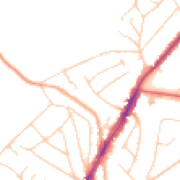
Daytime· 07:00 – 23:00
48.0dB

Night-time· 23:00 – 07:00
38.6dB