51 The Drive, Loughton, IG10 1HG
About 51 The Drive
51 The Drive is a four-bedroom semi-detached house in Loughton (IG10 1HG). It has a recorded floor area of 127 m² (around 1367 sq ft), construction records dating it to 1930-1949 and council tax band E. Tenure is freehold. The latest certificate (March 2019) shows an E (score 49), well below the UK norm with real room to improve. The recommended improvements would lift it to C (score 80), a 2-band jump.
3 planning records sit against the property, 0 approved, 1 refused. Today's modelled estimate of £848,000 is 47% above the 2019 sale price. Most recent transfer: June 2019 at £577,000.
Know exactly what you're buying at 51 The Drive
Before you offer, see what the listing won't tell you, the true value, the red flags and the full history.
Valuation
against the asking price
Risks
planning & flood
Sold prices
similar homes nearby
Trends
the local market
What this property has
Inside
- Bedrooms4
- Bathrooms1
Outside
- ParkingOff street
Building
- TenureFreehold
- Heating systemElectric
Energy performance
51 The Drive's carbon output runs well above what efficient homes in the postcode produce.
EPC Rating
Planning history
51 The Drive has 2 separate extension applications on the council record.
- Sept 2019ExtensionOutlineIn report
Extension: Single storey · Rear of property
Prior approval application for a 5.00 metre deep single storey rear extension, height to eaves 2.975 metres and maximum height of 2.975 metres (Revised proposal)
- Documents
- 9 docs on file
- Reference
- EPF/2107/19
- Sept 2019Loft ConversionOutlineIn report
Application for a Lawful Development Certificate for a proposed loft conversion with a rear dormer.
- Documents
- 10 docs on file
- Reference
- EPF/1647/19
What's in 51 The Drive, Loughton, IG10 1HG's planning history?
1 more on this property, plus refusals, disputes and full decisions nearby, in the report.
Sales history & valuation
51 The Drive valuation sits well clear of the typical sold price in this postcode.
£848,000
Modelled from EPC, postcode comparables.
£577,000
Recorded with HM Land Registry.
Sales timeline
6 June 2019Most recent
£577,000
Median price across the last 5 sales in IG10 1HG: £835,000 (2025–2018).
Everything we know about 51 The Drive, in one report
What it's really worth, what could be wrong, and the planning, sales and area data in full.
- Am I paying too much?
- Is something wrong with it?
- Is the agent's story true?
- Will it hold its value?

Versus other The Drive homes
Habitable Rooms for 51 The Drive lags the street by a wide margin.
Price per m²
£4,543
Street avg £5,890
Floor Area
127 m²
Street avg 160 m²
Habitable Rooms
6 rooms
Street avg 7 rooms
CO₂ Emissions
7.7 t/year
Street avg 7.4 t/year
Similar properties nearby
1 Forest Way
IG10 1JG
1 Brancaster Place, Church Hill
IG10 1QN
1 Hill Top Place, Hill Top Close
IG10 1PW
1 Ashfields
IG10 1SB
1 Church Lane
IG10 1PD
1 Grasmere Close
IG10 1SL
1 Elmores
IG10 1NS
1 Lanterns, Whitakers Way
IG10 1SQ
The neighbourhood at a glance
Rail-style transport is unusually close for this postcode.
Crime
4/mo
Steady year-on-year across the wider district.
Nearest stop
0.3 km
Traps Hill — bus stop.
Closest school
0.2 km
Staples Road Primary School. 13 schools nearby.
Go deeper on the local area
The full report breaks down crime, transport links, schools and air quality in depth.
Road noise across the postcode
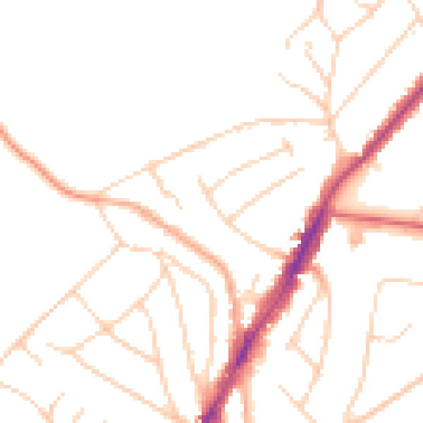
Daytime· 07:00 – 23:00
48.0dB

Night-time· 23:00 – 07:00
38.6dB