65 The Drive, Loughton, IG10 1HG
About 65 The Drive
65 The Drive is a four-bedroom semi-detached house in Loughton (IG10 1HG). It has a recorded floor area of 114 m² (around 1227 sq ft), construction records dating it to 1900-1929 and council tax band F. The latest certificate (April 2025) shows a D (score 63), on the cusp of jumping into the C band. The recommended improvements would lift it to B (score 84), a 2-band jump. Period features are noted in the property record. Our model identifies extension potential, subject to local planning policy.
It changed hands recently, sold October 2025 for £915,000. Its energy rating outperforms most of the postcode (better than 80% of similar EPCs). Across 1998–2025, sale prices on this property compounded at 6.1% per year. On a £-per-square-foot basis, the last sale (£746/sq ft) was about 84.5% above the typical sold price in the postcode.
Know exactly what you're buying at 65 The Drive
Before you offer, see what the listing won't tell you, the true value, the red flags and the full history.
Valuation
against the asking price
Risks
planning & flood
Sold prices
similar homes nearby
Trends
the local market
What this property has
Inside
- Bedrooms4
- Bathrooms1
- Dining roomYes
- Utility roomYes
- CloakroomYes
- FireplaceYes
Outside
- ParkingOff street
Building
- Period featuresYes
- Extension potentialPossible
Energy performance
Recommended upgrades on file would lift this property by multiple EPC bands.
EPC Rating
Planning history
65 The Drive has no planning applications on record.
The full report still covers planning activity across the surrounding area.
Sales history & valuation
65 The Drive has more than quadrupled in price since its earliest registered sale in 1998.
£871,000
Modelled from EPC, postcode comparables and a sale-price growth of 6.1% per year over 27 years.
£915,000
Growth on file: 6.1% per year over 27 years.
Sales timeline
22 October 2025Most recent
£915,000
+402.7%over 27 years5 August 1998
£182,000
Median price across the last 5 sales in IG10 1HG: £755,000 (2024–2018).
Everything we know about 65 The Drive, in one report
What it's really worth, what could be wrong, and the planning, sales and area data in full.
- Am I paying too much?
- Is something wrong with it?
- Is the agent's story true?
- Will it hold its value?

Versus other The Drive homes
Price per m² for 65 The Drive runs comfortably ahead of the street norm.
Price per m²
£8,026
Street avg £5,194
Floor Area
114 m²
Street avg 162 m²
Habitable Rooms
7 rooms
Street avg 7 rooms
CO₂ Emissions
5.0 t/year
Street avg 8.0 t/year
Similar properties nearby
1 Forest Way
IG10 1JG
1 Brancaster Place, Church Hill
IG10 1QN
1 Hill Top Place, Hill Top Close
IG10 1PW
1 Ashfields
IG10 1SB
1 Church Lane
IG10 1PD
1 Grasmere Close
IG10 1SL
1 Elmores
IG10 1NS
1 Lanterns, Whitakers Way
IG10 1SQ
The neighbourhood at a glance
Rail-style transport is unusually close for this postcode.
Crime
4/mo
Steady year-on-year across the wider district.
Nearest stop
0.3 km
Traps Hill — bus stop.
Closest school
0.2 km
Staples Road Primary School. 13 schools nearby.
Go deeper on the local area
The full report breaks down crime, transport links, schools and air quality in depth.
Road noise across the postcode
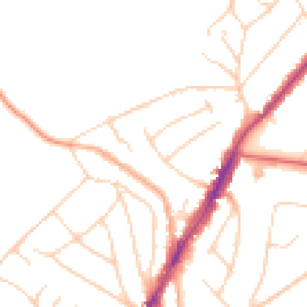
Daytime· 07:00 – 23:00
48.0dB

Night-time· 23:00 – 07:00
38.6dB