55 The Drive, Loughton, IG10 1HG
About 55 The Drive
55 The Drive is a property in Loughton (IG10 1HG). It has council tax band E.
4 planning records sit against the property, 2 approved, 1 refused. Past consents include an extension, meaningful when judging how the property has evolved. Sold June 2020 for £680,000.
Know exactly what you're buying at 55 The Drive
Before you offer, see what the listing won't tell you, the true value, the red flags and the full history.
Valuation
against the asking price
Risks
planning & flood
Sold prices
similar homes nearby
Trends
the local market
Energy performance
No EPC on record
This property doesn't have an Energy Performance Certificate yet. An EPC is required to sell or let — and unlocks our automated valuation.
Planning history
A a loft conversion application was refused at 55 The Drive in 2021.
- Dec 2021ExtensionFullIn report
Extension: Single storey · Rear of property
Single storey rear extension.
- Documents
- 14 docs on file
- Reference
- EPF/2769/21
- Dec 2021FullIn report
The proposals involve only minor changes to the garage to upgrade the thermal performance & provide a new home office to the rear.
- Documents
- 9 docs on file
- Reference
- EPF/2770/21
What's in 55 The Drive, Loughton, IG10 1HG's planning history?
2 more on this property, plus refusals, disputes and full decisions nearby, in the report.
Sales history & valuation
The latest sale landed in the post-pandemic price surge — useful context when reading the figure.
£680,000
Recorded with HM Land Registry.
Sales timeline
14 June 2020Most recent
£680,000
Median price across the last 5 sales in IG10 1HG: £835,000 (2025–2018).
Everything we know about 55 The Drive, in one report
What it's really worth, what could be wrong, and the planning, sales and area data in full.
- Am I paying too much?
- Is something wrong with it?
- Is the agent's story true?
- Will it hold its value?

Similar properties nearby
1 Forest Way
IG10 1JG
1 Brooklyn Avenue
IG10 1BJ
1 Hill Top Place, Hill Top Close
IG10 1PW
1 Brancaster Place, Church Hill
IG10 1QN
1 Ashfields
IG10 1SB
1 Carroll Hill
IG10 1NL
1 Lanterns, Whitakers Way
IG10 1SQ
1 Hilltop Close
IG10 1PY
The neighbourhood at a glance
Rail-style transport is unusually close for this postcode.
Crime
4/mo
Steady year-on-year across the wider district.
Nearest stop
0.3 km
Traps Hill — bus stop.
Closest school
0.2 km
Staples Road Primary School. 13 schools nearby.
Go deeper on the local area
The full report breaks down crime, transport links, schools and air quality in depth.
Road noise across the postcode
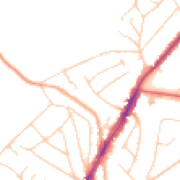
Daytime· 07:00 – 23:00
48.0dB

Night-time· 23:00 – 07:00
38.6dB