8 The Drive, Loughton, IG10 1HB
About 8 The Drive
8 The Drive is a two-bedroom detached house in Loughton (IG10 1HB). It has a recorded floor area of 101 m² (around 1087 sq ft), construction records dating it to 1930-1949 and council tax band E. The latest certificate (November 2025) shows a D (score 56), a step below the typical UK home. The recommended improvements would push it to C (score 77). Other recorded features include a conservatory. Records show the property has been extended at some point in its history.
It hasn't traded since June 2003, a hold of 23 years that's notably long for the area. Across 2001–2003, sale prices on this property compounded at 31.2% per year. Today's modelled estimate of £672,000 sits 124% above the 2003 sale of £300,000. On a £-per-square-foot basis, the last sale (£276/sq ft) was about 25.3% below the postcode norm. At 101 m² it's 28.9% smaller than the typical home in the postcode (142 m² median across 9 EPCs).
Know exactly what you're buying at 8 The Drive
Before you offer, see what the listing won't tell you, the true value, the red flags and the full history.
Valuation
against the asking price
Risks
planning & flood
Sold prices
similar homes nearby
Trends
the local market
What this property has
Inside
- Bedrooms2
- Bathrooms1
- Dining roomYes
- ConservatoryYes
Outside
- Private gardenRear
- ParkingOff street
Building
- Previously extendedYes
Energy performance
EPC Rating
Planning history
8 The Drive has no planning applications on record.
The full report still covers planning activity across the surrounding area.
Sales history & valuation
8 The Drive's estimated value is more than triple its earliest registered sale price (2001).
£672,000
Modelled from EPC, postcode comparables and a sale-price growth of 31.2% per year over 2 years.
£300,000
Growth on file: 31.2% per year over 2 years.
Sales timeline
29 June 2003Most recent
£300,000
+71.4%over 1 year4 July 2001
£175,000
Median price across the last 5 sales in IG10 1HB: £826,000 (2025–2021).
Everything we know about 8 The Drive, in one report
What it's really worth, what could be wrong, and the planning, sales and area data in full.
- Am I paying too much?
- Is something wrong with it?
- Is the agent's story true?
- Will it hold its value?

Versus other The Drive homes
8 The Drive is notably below the street on price per m².
Price per m²
£2,970
Street avg £6,067
Floor Area
101 m²
Street avg 128 m²
Habitable Rooms
4 rooms
Street avg 6 rooms
CO₂ Emissions
5.2 t/year
Street avg 7.0 t/year
Similar properties nearby
1 Ashley Grove, Staples Road
IG10 1HS
1 Durnell Way
IG10 1TG
1 Kings Green
IG10 1RJ
1 Chapel Terrace, Forest Road
IG10 1ED
1 Lanterns, Whitakers Way
IG10 1SQ
1 Ashmeads, Church Lane
IG10 1PE
1 Brook Road
IG10 1BW
1 Brancaster Place, Church Hill
IG10 1QN
The neighbourhood at a glance
Rail-style transport is unusually close for this postcode.
Crime
4/mo
Steady year-on-year across the wider district.
Nearest stop
0.2 km
Traps Hill — bus stop.
Closest school
0.3 km
Staples Road Primary School. 13 schools nearby.
Go deeper on the local area
The full report breaks down crime, transport links, schools and air quality in depth.
Road noise across the postcode
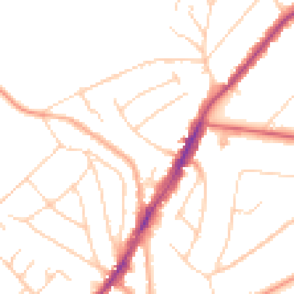
Daytime· 07:00 – 23:00
48.6dB

Night-time· 23:00 – 07:00
39.2dB