10 The Drive, Loughton, IG10 1HB
About 10 The Drive
10 The Drive is a three-bedroom detached house in Loughton (IG10 1HB). It has a recorded floor area of 107 m² (around 1152 sq ft), construction records dating it to 1900-1929 and council tax band E. The latest certificate (October 2023) shows a D (score 62), on the cusp of jumping into the C band. The rating has held steady at D across 2 certificates since August 2016. Between certificates, lighting went from Average to Very Good. The recommended improvements would lift it to B (score 84), a 2-band jump. Other recorded features include a conservatory. Our model identifies extension potential, subject to local planning policy.
A recent sale: £700,000 in May 2025. Across 1997–2025, sale prices on this property compounded at 5.9% per year. On a £-per-square-foot basis, the last sale (£608/sq ft) was about 86.6% above the typical sold price in the postcode. At 107 m² it's 24.6% smaller than the typical home in the postcode (142 m² median across 9 EPCs).
Know exactly what you're buying at 10 The Drive
Before you offer, see what the listing won't tell you, the true value, the red flags and the full history.
Valuation
against the asking price
Risks
planning & flood
Sold prices
similar homes nearby
Trends
the local market
What this property has
Inside
- Bedrooms3
- Bathrooms2
- Dining roomYes
- CloakroomYes
- ConservatoryYes
Outside
- Private gardenSouth-facing
- ParkingOff street
Building
- Extension potentialPossible
Energy performance
Recommended upgrades on file would lift this property by multiple EPC bands.
EPC Rating
Property Improvements
Changes detected from historical EPC data
Heating controls upgraded for better temperature management
More low energy lighting installed
Planning history
10 The Drive has no planning applications on record.
The full report still covers planning activity across the surrounding area.
Sales history & valuation
Price for 10 The Drive has grown more than fourfold since the 1997 starting point.
£727,000
Modelled from EPC, postcode comparables and a sale-price growth of 5.9% per year over 28 years.
£700,000
Growth on file: 5.9% per year over 28 years.
Sales timeline
6 May 2025Most recent
£700,000
+393.0%over 27 years25 September 1997
£142,000
Median price across the last 5 sales in IG10 1HB: £826,000 (2025–2018).
Everything we know about 10 The Drive, in one report
What it's really worth, what could be wrong, and the planning, sales and area data in full.
- Am I paying too much?
- Is something wrong with it?
- Is the agent's story true?
- Will it hold its value?

Versus other The Drive homes
10 The Drive outperforms the street on price per m² by a wide margin.
Price per m²
£6,542
Street avg £5,670
Floor Area
107 m²
Street avg 128 m²
Habitable Rooms
5 rooms
Street avg 6 rooms
CO₂ Emissions
4.8 t/year
Street avg 7.0 t/year
Similar properties nearby
1 Kings Green
IG10 1RJ
1 Lanterns, Whitakers Way
IG10 1SQ
1 Chapel Terrace, Forest Road
IG10 1ED
1 Brook Road
IG10 1BW
1 Ashmeads, Church Lane
IG10 1PE
1 Brancaster Place, Church Hill
IG10 1QN
1 Forest Way
IG10 1JG
1 Ashley Grove, Staples Road
IG10 1HS
The neighbourhood at a glance
Rail-style transport is unusually close for this postcode.
Crime
4/mo
Steady year-on-year across the wider district.
Nearest stop
0.2 km
Traps Hill — bus stop.
Closest school
0.3 km
Staples Road Primary School. 13 schools nearby.
Go deeper on the local area
The full report breaks down crime, transport links, schools and air quality in depth.
Road noise across the postcode
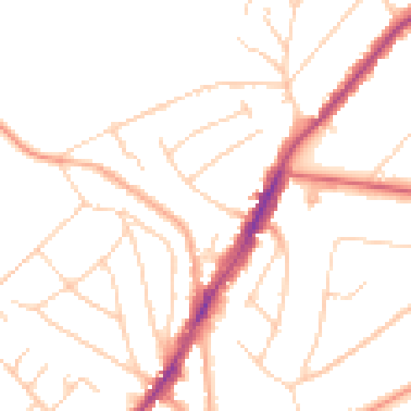
Daytime· 07:00 – 23:00
48.6dB

Night-time· 23:00 – 07:00
39.2dB