7a, Forest Road, Loughton, IG10 1DR
About 7a
7a is a property in Loughton (IG10 1DR). It has council tax band C.
Untraded for 24 years, with the last transfer in October 2002. 3 planning records sit against the property, 0 approved, 3 refused.
Know exactly what you're buying at 7a
Before you offer, see what the listing won't tell you, the true value, the red flags and the full history.
Already flagged here
Valuation
against the asking price
Risks
planning & flood
Sold prices
similar homes nearby
Trends
the local market
Energy performance
No EPC on record
This property doesn't have an Energy Performance Certificate yet. An EPC is required to sell or let — and unlocks our automated valuation.
Planning history
A an extension application was refused at 7a in 2024.
- Apr 2024ExtensionFullIn report
Proposed 2 storeys of office accommodation over existing retail - full width of number 7 Forest Road (Revised Scheme to EPF/2757/22).
- Documents
- 15 docs on file
- Reference
- EPF/0159/24
- Feb 2023FullIn report
Proposed 2 stories of office accommodation over existing retail - full width of number 7 Forest Road
- Documents
- 15 docs on file
- Reference
- EPF/2757/22
We flagged 1 thing worth checking at 7a
Independent checks surfaced things a buyer would want to understand before offering. The report explains each one in full, with the underlying data and what to ask.
- A planning decision worth checking
30-day money-back guarantee
Sales history & valuation
£105,000
Recorded with HM Land Registry.
Sales timeline
14 October 2002Most recent
£105,000
Everything we know about 7a, in one report
What it's really worth, what could be wrong, and the planning, sales and area data in full.
What we flagged
- A planning decision worth checking

Similar properties nearby
1 Ashfields
IG10 1SB
1 Ashley Grove, Staples Road
IG10 1HS
1 Ashmeads, Church Lane
IG10 1PE
1 Baldwins Hill
IG10 1SA
1 Bennett House, 9 Priory Road
IG10 1AF
1 Brancaster Place, Church Hill
IG10 1QN
1 Brook Road
IG10 1BW
1 Brooklyn Avenue
IG10 1BJ
The neighbourhood at a glance
Rail-style transport is unusually close for this postcode.
Crime
4/mo
Steady year-on-year across the wider district.
Nearest stop
0.0 km
Forest Road — bus stop.
Closest school
0.4 km
Roding Valley High School. 13 schools nearby.
Go deeper on the local area
The full report breaks down crime, transport links, schools and air quality in depth.
Road noise across the postcode
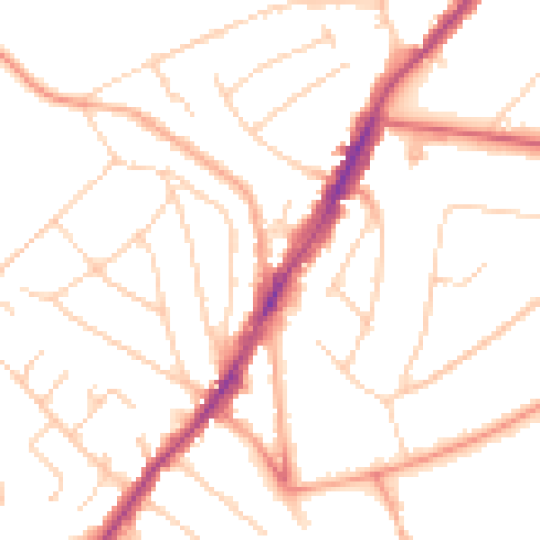
Daytime· 07:00 – 23:00
49.6dB

Night-time· 23:00 – 07:00
39.6dB