9 Shelley Grove, Loughton, IG10 1BY
About 9 Shelley Grove
9 Shelley Grove is a five-bedroom detached house in Loughton (IG10 1BY). It has a recorded floor area of 260 m² (around 2799 sq ft), construction records dating it to 1930-1949 and council tax band G. The latest certificate (October 2018) shows a D (score 66), on the cusp of jumping into the C band. The recommended improvements would push it to C (score 77). Our model identifies extension potential, subject to local planning policy.
At 260 m² the property is well over the postcode median (170 m² across 9 EPCs), placing it in the larger end of the local stock. 5 planning records sit against the property, 4 approved, 1 refused. Past consents include an extension and a porch, meaningful when judging how the property has evolved. Across 2000–2019, sale prices on this property compounded at 6% per year. Today's modelled estimate of £1,476,000 is 17.1% above the 2019 sale price. On a £-per-square-foot basis, the last sale (£450/sq ft) was about 16.2% below the postcode norm. Most recent transfer: March 2019 at £1,260,000.
Know exactly what you're buying at 9 Shelley Grove
Before you offer, see what the listing won't tell you, the true value, the red flags and the full history.
Valuation
against the asking price
Risks
planning & flood
Sold prices
similar homes nearby
Trends
the local market
What this property has
Inside
- Bedrooms5
- Bathrooms3
- Dining roomYes
- Utility roomYes
- CloakroomYes
- EnsuiteYes
- StudyYes
Outside
- Private gardenSouth-facing
- GarageDouble
Building
- Extension potentialPossible
Energy performance
9 Shelley Grove's carbon output runs well above what efficient homes in the postcode produce.
EPC Rating
Planning history
9 Shelley Grove has been extended on multiple sides of the property across separate planning applications.
- May 2021PorchFullIn report
Proposed two storey front extension, first floor 'infill' rear extension. Replacement of roof with full hipped roof and additional dormer window to rear. Replacement windows, front porch canopy and external re-rendering to main dwelling.(Amended application to EPF/2013/20).
Extension- Documents
- 14 docs on file
- Reference
- EPF/0633/21
- Nov 2020PorchFullIn report
Extension: Part single, part two storey · Side and rear of property
Proposed 2 storey front and side, first floor side with full hip roof over and rear dormer window to provide additional living accommodation in the roofspace, replacement windows with garage door opening, front porch and external rendering to main dwelling
Extension- Documents
- 13 docs on file
- Reference
- EPF/2013/20
What's in 9 Shelley Grove, Loughton, IG10 1BY's planning history?
3 more on this property, plus refusals, disputes and full decisions nearby, in the report.
Sales history & valuation
9 Shelley Grove has more than tripled in price since its earliest registered sale in 2000.
£1,476,000
Modelled from EPC, postcode comparables and a sale-price growth of 6.0% per year over 19 years.
£1,260,000
Growth on file: 6.0% per year over 19 years.
Sales timeline
20 March 2019Most recent
£1,260,000
+73.8%over 12 years17 June 2006
£725,000
+76.8%over 6 years13 January 2000
£410,000
Median price across the last 5 sales in IG10 1BY: £1,775,000 (2021–2018).
Nearby sales in IG10 1BY
Everything we know about 9 Shelley Grove, in one report
What it's really worth, what could be wrong, and the planning, sales and area data in full.
- Am I paying too much?
- Is something wrong with it?
- Is the agent's story true?
- Will it hold its value?

Versus other Shelley Grove homes
On habitable rooms, 9 Shelley Grove stands well clear of the street.
Price per m²
£4,846
Street avg £13,027
Floor Area
260 m²
Street avg 210 m²
Habitable Rooms
9 rooms
Street avg 6 rooms
CO₂ Emissions
9.1 t/year
Street avg 8.3 t/year
Similar properties nearby
1 Eleven Acre Rise
IG10 1AN
1 Baldwins Hill
IG10 1SA
1 Elmores
IG10 1NS
1 Grasmere Close
IG10 1SL
1 Church Lane
IG10 1PD
1 Ashfields
IG10 1SB
1 Hill Top Place, Hill Top Close
IG10 1PW
1 Forest Way
IG10 1JG
The neighbourhood at a glance
Rail-style transport is unusually close for this postcode.
Crime
4/mo
Steady year-on-year across the wider district.
Nearest stop
0.3 km
Alderton Hall Lane — bus stop.
Closest school
0.5 km
Roding Valley High School. 13 schools nearby.
Go deeper on the local area
The full report breaks down crime, transport links, schools and air quality in depth.
Road noise across the postcode
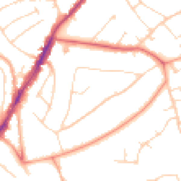
Daytime· 07:00 – 23:00
49.2dB

Night-time· 23:00 – 07:00
39.7dB