7 Brow Lane, Shelf, Halifax, HX3 7QJ
About 7 Brow Lane
7 Brow Lane is a property in Shelf, Halifax, Halifax (HX3 7QJ). It has council tax band A.
2 planning records sit against the property, 2 approved, 0 refused. Past consents include an extension, meaningful when judging how the property has evolved. The record references listed-building consent, which constrain future alterations.
Energy performance
No EPC on record
This property doesn't have an Energy Performance Certificate yet. An EPC is required to sell or let — and unlocks our automated valuation.
Get a survey for this property
Level 2 HomeBuyer Report
We've checked 10 risk factors against the available data for this property and believe a Level 2 HomeBuyer Report could be a suitable option for you.
Planning history
7 Brow Lane has 2 separate extension applications on the council record.
- Jun 2009ExtensionFullOutcome in report
Extension: Single storey · Rear of property
Single storey rear extension
- Documents
- 5 docs on file
- Reference
- 09/00568/HSE
- Jun 2009ExtensionHeritageOutcome in report
Extension: Single storey · Rear of property
Single storey rear extension (Listed Building Consent)
Listed- Documents
- 5 docs on file
- Reference
- 09/00569/LBC
Sales history & valuation
No sales recorded with HM Land Registry
That can mean the property has never traded since the registry began publishing in 1995, was a new build that hasn't been registered yet, or is held in the same hands long-term.
Median price across the last 5 sales in HX3 7QJ: £207,000 (2025–2020).
Nearby sales in HX3 7QJ
Similar properties nearby
The neighbourhood at a glance
Reported crime in the wider district is trending notably upward year-on-year.
Crime
3/mo
Rising year-on-year across the wider district.
Nearest stop
0.1 km
Wade House Rd Brow Lane — bus stop.
Closest school
0.2 km
St Michael and All Angels CofE Primary & Pre School. 21 schools nearby.
Road noise across the postcode
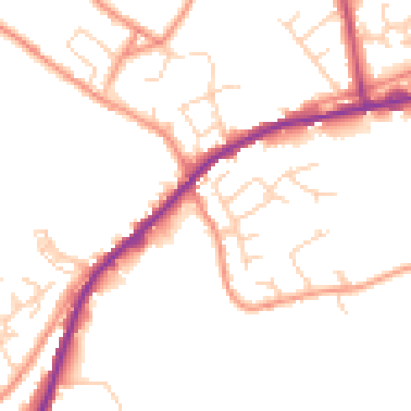
Daytime· 07:00 – 23:00
48.9dB

Night-time· 23:00 – 07:00
39.9dB