22 Clifton Road, Halifax, HX3 0BT
About 22 Clifton Road
22 Clifton Road is a five-bedroom mid-terrace house in Halifax (HX3 0BT). It has a recorded floor area of 158 m² (around 1701 sq ft), construction records dating it to 1900-1929 and council tax band D. The latest certificate (March 2017) shows an E (score 41), well below the UK norm with real room to improve. The recommended improvements would lift it to B (score 82), a 3-band jump. Other recorded features include a basement.
Today's modelled estimate of £359,000 is 43.6% above the 2017 sale price. On a £-per-square-foot basis, the last sale (£147/sq ft) was about 32.2% above the typical sold price in the postcode. Last sold in June 2017, so it's been off the market for around 9 years. At 158 m² it's 21.6% smaller than the typical home in the postcode (202 m² median across 16 EPCs).
What this property has
Inside
- Bedrooms5
- Bathrooms1
- BasementYes
Outside
- Private gardenYes
- GarageIntegral
Building
- RefurbishedYes
Everything you need to know about 22 Clifton Road
The true value, the hidden risks and the full sale history, in one report.
Pick your report · every report is £14.99
One time fee only - money back guarantee

The data behind every report


Energy performance
22 Clifton Road's carbon output runs well above what efficient homes in the postcode produce.
EPC Rating
Get a survey for this property
Level 3 Building Survey
Because the property was built before 1919, we believe a Level 3 building survey should be considered.
From £955 · Includes VAT
Planning history
22 Clifton Road has no planning applications on record.
But the area is active
1 notable application nearby — larger schemes and conversions that could reshape the street. The report maps them all.
Sales history & valuation
22 Clifton Road valuation sits well clear of the typical sold price in this postcode.
£359,000
Modelled from EPC, postcode comparables.
£250,000
Recorded with HM Land Registry.
Sales timeline
26 June 2017Most recent
£250,000
Median price across the last 5 sales in HX3 0BT: £405,000 (2024–2021).
Versus other Clifton Road homes
EPC Rating for 22 Clifton Road lags the street by a wide margin.
Price per m²
£1,582
Street avg £1,411
Floor Area
158 m²
Street avg 210 m²
Habitable Rooms
7 rooms
Street avg 8 rooms
CO₂ Emissions
12.0 t/year
Street avg 13.0 t/year
Everything you need to know about 22 Clifton Road
The true value, the hidden risks and the full sale history, in one report.
Pick your report · every report is £14.99
One time fee only - money back guarantee
The data behind every report
Similar properties nearby
1 Copley Drive
HX3 0US
1 Delph View, Wakefield Gate
HX3 0NQ
1 Copley View
HX3 0TX
1 Copley Wood View, New Lane, Skircoat Green
HX3 0TE
1 Broomfield Avenue
HX3 0JF
1 Brookwater Close
HX3 0QR
1 1a, Grandsmere Place
HX3 0DP
1 Clifton Road
HX3 0BT
The neighbourhood at a glance
Reported crime in the wider district is trending notably upward year-on-year.
Crime
3/mo
Rising year-on-year across the wider district.
Nearest stop
0.0 km
Heath Rd Linden Road — bus stop.
Closest school
0.6 km
Holy Trinity Primary School, A Church of England Academy. 27 schools nearby.
Go deeper on the local area
A Local Area report breaks down crime, transport links, schools and air quality in depth.
Road noise across the postcode
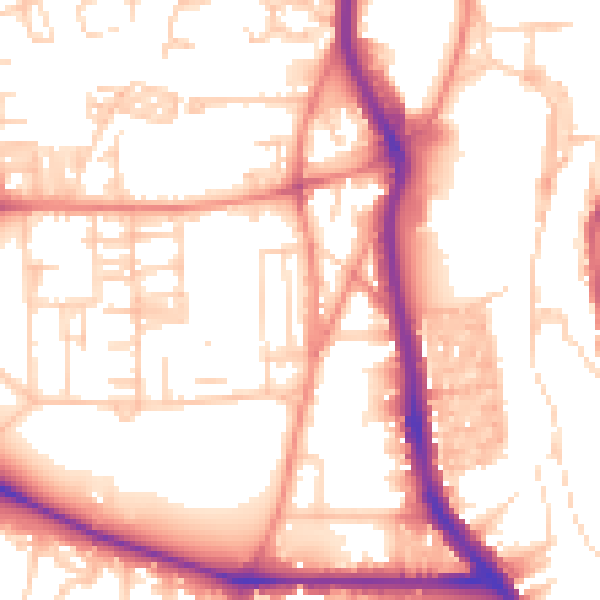
Daytime· 07:00 – 23:00
54.8dB

Night-time· 23:00 – 07:00
44.2dB