17 Barkus Way, Stokenchurch, High Wycombe, HP14 3RD
About 17 Barkus Way
17 Barkus Way is a semi-detached house in Stokenchurch, High Wycombe, High Wycombe (HP14 3RD). It has a recorded floor area of 78 m² (around 840 sq ft), construction records dating it to 1967-1975 and council tax band B. At 78 m² this is the 26th smallest of 33 units on EPC record in the building, where floor areas span 37–92 m². The building's EPC ratings span E to B, with this unit at the bottom. On EPC score it ranks last in the building (39 versus a best of 81). The latest certificate (March 2014) shows an E (score 39), well below the UK norm with real room to improve. The recommended improvements would lift it to C (score 77), a 2-band jump. Main heating runs on electricity. The latest certificate is from March 2014, so improvements made since then won't be reflected.
Held since November 2002 — that's 24 years off the open market, well above the local norm. At 78 m² the property is well over the postcode median (49 m² across 32 EPCs), placing it in the larger end of the local stock. It lags the bulk of the postcode on energy efficiency (less efficient than 75% of similar EPCs). Across 1999–2002, sale prices on this property compounded at 15.8% per year. Today's modelled estimate of £276,000 sits 162.9% above the 2002 sale of £105,000. On a £-per-square-foot basis, the last sale (£125/sq ft) was about 43% below the postcode norm.
Everything you need to know about 17 Barkus Way
The true value, the hidden risks and the full sale history, in one report.
Pick your report · every report is £14.99
One time fee only - money back guarantee

The data behind every report


Energy performance
Recommended upgrades on file would lift this property by multiple EPC bands.
EPC Expired
This certificate is over 10 years old and is no longer valid.Expired 26 Mar 2024
EPC Rating
Get a survey for this property
Level 2 HomeBuyer Report
We've checked 10 risk factors against the available data for this property and believe a Level 2 HomeBuyer Report could be a suitable option for you.
From £545 · Includes VAT
Planning history
17 Barkus Way has no planning applications on record.
But the area is active
3 notable applications nearby — larger schemes and conversions that could reshape the street. The report maps them all.
Sales history & valuation
17 Barkus Way's modelled value sits at over four times its earliest registered sale price (1999).
£276,000
Modelled from EPC, postcode comparables and a sale-price growth of 15.8% per year over 4 years.
£105,000
Growth on file: 15.8% per year over 4 years.
Sales timeline
29 November 2002Most recent
£105,000
+75.0%over 3 years8 February 1999
£59,995
Median price across the last 5 sales in HP14 3RD: £295,000 (2025–2022).
Nearby sales in HP14 3RD
19 Barkus Way, Stokenchurch, High Wycombe, HP14 3RD
Sold Sept 2025
£380,00041 Barkus Way, Stokenchurch, High Wycombe, HP14 3RD
Sold Jan 2025
£360,00012 Barkus Way, Stokenchurch, High Wycombe, HP14 3RD
Sold May 2024
£245,0003 Barkus Way, Stokenchurch, High Wycombe, HP14 3RD
Sold Feb 2023
£210,0008 Barkus Way, Stokenchurch, High Wycombe, HP14 3RD
Sold Jan 2022
£295,000
Versus other Barkus Way homes
17 Barkus Way is notably below the street on epc rating.
Price per m²
£1,346
Street avg £3,170
Floor Area
78 m²
Street avg 53 m²
Habitable Rooms
7 rooms
Street avg 4 rooms
CO₂ Emissions
4.9 t/year
Street avg 3.4 t/year
Everything you need to know about 17 Barkus Way
The true value, the hidden risks and the full sale history, in one report.
Pick your report · every report is £14.99
One time fee only - money back guarantee
The data behind every report
Similar properties nearby
1 Church Street, Stokenchurch
HP14 3TH
1 Chalky Field, Lane End
HP14 3FN
1 Allnutts Close, Stokenchurch
HP14 3FW
1 Briarswood Close, Stokenchurch
HP14 3SY
1 Bartholomew Tipping Way, Stokenchurch
HP14 3RX
1 Anderson Close, Stokenchurch
HP14 3QN
1 Billings Close, Stokenchurch
HP14 3SE
1 Cater Road, Lane End
HP14 3JD
The neighbourhood at a glance
Crime
3/mo
Steady year-on-year across the wider district.
Nearest stop
0.1 km
Ferndale Close — bus stop.
Closest school
0.2 km
Stokenchurch Primary School. 2 schools nearby.
Go deeper on the local area
A Local Area report breaks down crime, transport links, schools and air quality in depth.
Road noise across the postcode
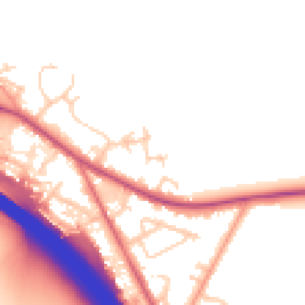
Daytime· 07:00 – 23:00
51.7dB

Night-time· 23:00 – 07:00
45.0dB