33 Lime Avenue, High Wycombe, HP11 1DR
About 33 Lime Avenue
33 Lime Avenue is a three-bedroom detached house in High Wycombe (HP11 1DR). It has a recorded floor area of 95 m² (around 1023 sq ft), construction records dating it to 1930-1949 and council tax band E. The latest certificate (April 2019) shows an F (score 25), near the bottom of the EPC scale. The recommended improvements would lift it to C (score 76), a 3-band jump. Other recorded features include attached land beyond the plot. Our model identifies extension potential, subject to local planning policy.
At 95 m² it's 23.2% smaller than the typical home in the postcode (124 m² median across 4 EPCs). It lags the bulk of the postcode on energy efficiency (less efficient than 75% of similar EPCs). Today's modelled estimate of £596,000 is 21.1% above the 2019 sale price. On a £-per-square-foot basis, the last sale (£481/sq ft) was about 53.1% above the typical sold price in the postcode. Last sale on file: £492,000 in October 2019.
Know exactly what you're buying at 33 Lime Avenue
Before you offer, see what the listing won't tell you, the true value, the red flags and the full history.
Already flagged here
Valuation
against the asking price
Risks
planning & flood
Sold prices
similar homes nearby
Trends
the local market
What this property has
Inside
- Bedrooms3
- Bathrooms1
- Dining roomYes
Outside
- GarageYes
- LandYes
Building
- Extension potentialPossible
Energy performance
33 Lime Avenue's carbon output runs well above what efficient homes in the postcode produce.
EPC Rating
Planning history
33 Lime Avenue has no planning applications on record.
Notable planning nearby
9applications of note in the surrounding area
We flagged 2 things worth checking at 33 Lime Avenue
Independent checks surfaced things a buyer would want to understand before offering. The report explains each one in full, with the underlying data and what to ask.
- Signs of HMO activity in the area
- Larger development activity nearby
30-day money-back guarantee
Sales history & valuation
33 Lime Avenue valuation sits well clear of the typical sold price in this postcode.
£596,000
Modelled from EPC, postcode comparables.
£492,000
Recorded with HM Land Registry.
Sales timeline
24 October 2019Most recent
£492,000
Median price across the last 5 sales in HP11 1DR: £523,000 (2025–2012).
Nearby sales in HP11 1DR
Everything we know about 33 Lime Avenue, in one report
What it's really worth, what could be wrong, and the planning, sales and area data in full.
What we flagged
- Signs of HMO activity in the area
- Larger development activity nearby

Versus other Lime Avenue homes
33 Lime Avenue is notably below the street on epc rating.
Price per m²
£5,179
Street avg £4,407
Floor Area
95 m²
Street avg 127 m²
Habitable Rooms
5 rooms
Street avg 5 rooms
CO₂ Emissions
10.8 t/year
Street avg 8.3 t/year
Similar properties nearby
1 Chestnut Avenue
HP11 1DJ
1 California Way
HP11 1AQ
1 Bridgebank Close
HP11 1JG
1 Bowden Lane
HP11 1DL
1 Bellwood Rise
HP11 1QH
1 Chequers Avenue
HP11 1GP
1 Austenwood Close
HP11 1PT
1 Beech Street
HP11 1AP
The neighbourhood at a glance
Daytime road noise here sits well below conversation level — a quiet pocket of the postcode.
Crime
7/mo
Steady year-on-year across the wider district.
Nearest stop
0.4 km
Chestnut Avenue — bus stop.
Closest school
0.7 km
Beechview Academy. 21 schools nearby.
Go deeper on the local area
The full report breaks down crime, transport links, schools and air quality in depth.
Road noise across the postcode
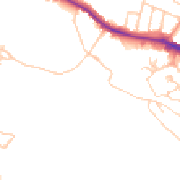
Daytime· 07:00 – 23:00
47.6dB

Night-time· 23:00 – 07:00
40.0dB