8 Birfield Road, Loudwater, High Wycombe, HP10 9TW
About 8 Birfield Road
8 Birfield Road is a three-bedroom detached house in Loudwater, High Wycombe, High Wycombe (HP10 9TW). It has a recorded floor area of 106 m² (around 1141 sq ft), construction records dating it to 1967-1975 and council tax band E. The latest certificate (September 2025) shows a D (score 60), on the cusp of jumping into the C band. The rating has held steady at D across 2 certificates since August 2016. Between certificates, roof efficiency dropped from Good to Average. The recommended improvements would push it to C (score 72).
Across 1996–2017, sale prices on this property compounded at 7.7% per year. Today's modelled estimate of £570,000 is 23.9% above the 2017 sale price. On a £-per-square-foot basis, the last sale (£403/sq ft) was about 55.4% above the typical sold price in the postcode. On the market in January 2017 and unlisted since — roughly 9 years.
Know exactly what you're buying at 8 Birfield Road
Before you offer, see what the listing won't tell you, the true value, the red flags and the full history.
Valuation
against the asking price
Risks
planning & flood
Sold prices
similar homes nearby
Trends
the local market
What this property has
Inside
- Bedrooms3
- Bathrooms1
- Dining roomYes
- Utility roomYes
Outside
- Private gardenFront and rear
- DrivewayYes
Building
- RefurbishedYes
Energy performance
EPC Rating
Property Improvements
Changes detected from historical EPC data
More low energy lighting installed
Planning history
8 Birfield Road has no planning applications on record.
Notable planning nearby
3applications of note in the surrounding area
Sales history & valuation
8 Birfield Road has more than quadrupled in price since its earliest registered sale in 1996.
£570,000
Modelled from EPC, postcode comparables and a sale-price growth of 7.7% per year over 21 years.
£460,000
Growth on file: 7.7% per year over 21 years.
Sales timeline
16 January 2017Most recent
£460,000
+85.9%over 13 years22 October 2003
£247,500
+147.5%over 7 years20 June 1996
£100,000
Median price across the last 5 sales in HP10 9TW: £440,000 (2025–2024).
Nearby sales in HP10 9TW
38 Birfield Road, Loudwater, High Wycombe, HP10 9TW
Sold Jun 2025
£540,00014 Birfield Road, Loudwater, High Wycombe, HP10 9TW
Sold Mar 2025
£425,00010 Birfield Road, Loudwater, High Wycombe, HP10 9TW
Sold Nov 2024
£365,00022 Birfield Road, Loudwater, High Wycombe, HP10 9TW
Sold Jun 2024
£440,0003 Birfield Road, Loudwater, High Wycombe, HP10 9TW
Sold Mar 2024
£685,000
Everything we know about 8 Birfield Road, in one report
What it's really worth, what could be wrong, and the planning, sales and area data in full.
- Am I paying too much?
- Is something wrong with it?
- Is the agent's story true?
- Will it hold its value?

Versus other Birfield Road homes
On habitable rooms, 8 Birfield Road stands well clear of the street.
Price per m²
£4,340
Street avg £3,961
Floor Area
106 m²
Street avg 102 m²
Habitable Rooms
6 rooms
Street avg 5 rooms
CO₂ Emissions
3.9 t/year
Street avg 4.6 t/year
Similar properties nearby
1 Aspen Road
HP10 9FA
1 Birfield Road, Loudwater
HP10 9TW
1 Conway Close, Loudwater
HP10 9TR
1 Cherrywood Gardens, Flackwell Heath
HP10 9AX
1 Clay Close, Flackwell Heath
HP10 9BG
1 Carrington Avenue, Flackwell Heath
HP10 9AL
1 Chiltern Green, Flackwell Heath
HP10 9AJ
1 Chilterns Close, Flackwell Heath
HP10 9BB
The neighbourhood at a glance
Reported crime in the wider district is trending notably upward year-on-year.
Crime
3/mo
Rising year-on-year across the wider district.
Nearest stop
0.2 km
The Papermill — bus stop.
Closest school
0.6 km
Loudwater Combined School. 11 schools nearby.
Go deeper on the local area
The full report breaks down crime, transport links, schools and air quality in depth.
Road noise across the postcode
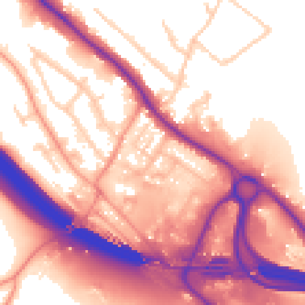
Daytime· 07:00 – 23:00
59.2dB
Night-time· 23:00 – 07:00
52.2dB