1 Boxted Road, Hemel Hempstead, HP1 2QH
About 1 Boxted Road
1 Boxted Road is a three-bedroom mid-terrace house in Hemel Hempstead (HP1 2QH). It has a recorded floor area of 38 m² (around 409 sq ft), construction records dating it to 1950-1966 and council tax band C. Other recorded features include a conservatory. The latest certificate (July 2023) shows a C (score 70). The recommended improvements would push it to B (score 90).
Most recent transfer was August 2025 at £372,000 — fresh data. At 38 m² it sits well below the postcode median (77 m² across 17 EPCs), making it one of the more compact homes locally. On a £-per-square-foot basis, the last sale (£909/sq ft) was about 325.6% above the typical sold price in the postcode.
What this property has
Inside
- Bedrooms3
- Bathrooms1
- Dining roomYes
- ConservatoryYes
Outside
- Private gardenYes
- GarageIntegral
Everything you need to know about 1 Boxted Road
The true value, the hidden risks and the full sale history, in one report.
Pick your report · every report is £14.99
One time fee only - money back guarantee

The data behind every report


Energy performance
EPC Rating
Get a survey for this property
Level 2 HomeBuyer Report
We've checked 10 risk factors against the available data for this property and believe a Level 2 HomeBuyer Report could be a suitable option for you.
From £595 · Includes VAT
Planning history
1 Boxted Road has no planning applications on record.
But the area is active
1 notable application nearby — larger schemes and conversions that could reshape the street. The report maps them all.
Sales history & valuation
Latest sale on 1 Boxted Road was the highest on Land Registry record across the postcode.
£392,000
Modelled from EPC, postcode comparables.
£372,000
Recorded with HM Land Registry.
Sales timeline
14 August 2025Most recent
£372,000
Median price across the last 5 sales in HP1 2QH: £320,000 (2018–2014).
Nearby sales in HP1 2QH
20 Boxted Road, Hemel Hempstead, HP1 2QH
Sold Jul 2018
£370,00018 Boxted Road, Hemel Hempstead, HP1 2QH
Sold Nov 2017
£315,00030 Boxted Road, Hemel Hempstead, HP1 2QH
Sold Oct 2016
£360,00022 Boxted Road, Hemel Hempstead, HP1 2QH
Sold Oct 2013
£234,00014 Boxted Road, Hemel Hempstead, HP1 2QH
Sold Dec 2011
£166,000
Versus other Boxted Road homes
Price per m² for 1 Boxted Road runs comfortably ahead of the street norm.
Price per m²
£9,789
Street avg £3,349
Floor Area
38 m²
Street avg 70 m²
Habitable Rooms
2 rooms
Street avg 4 rooms
CO₂ Emissions
1.8 t/year
Street avg 3.1 t/year
Everything you need to know about 1 Boxted Road
The true value, the hidden risks and the full sale history, in one report.
Pick your report · every report is £14.99
One time fee only - money back guarantee
The data behind every report
Similar properties nearby
1 Damask Green
HP1 2HH
1 Birch Green
HP1 2QX
1 Chaulden House Gardens
HP1 2BP
1 East Flint
HP1 2LS
1 Brownlow Farm Barns, Pouchen End Lane
HP1 2SN
1 Bullace Close
HP1 2PX
1 Campion Road
HP1 2DN
1 Bluebell Close
HP1 2DH
The neighbourhood at a glance
Daytime road noise here sits well below conversation level — a quiet pocket of the postcode.
Crime
16/mo
Steady year-on-year across the wider district.
Nearest stop
0.0 km
Peartree Road — bus stop.
Closest school
0.1 km
Micklem Primary School. 22 schools nearby.
Go deeper on the local area
A Local Area report breaks down crime, transport links, schools and air quality in depth.
Road noise across the postcode
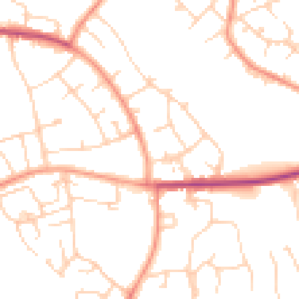
Daytime· 07:00 – 23:00
49.3dB

Night-time· 23:00 – 07:00
39.0dB