Lower Croft Barn, Highroyd, Lepton, Huddersfield, HD8 0EB
About Lower Croft Barn
Lower Croft Barn is a property in Lepton, Huddersfield, Huddersfield (HD8 0EB). It has council tax band E.
Energy performance
No EPC on record
This property doesn't have an Energy Performance Certificate yet. An EPC is required to sell or let — and unlocks our automated valuation.
Get a survey for this property
Level 2 HomeBuyer Report
We've checked 10 risk factors against the available data for this property and believe a Level 2 HomeBuyer Report could be a suitable option for you.
Planning history
No planning applications are recorded against Lower Croft Barn, Highroyd, Lepton, Huddersfield, HD8 0EB. The full report also covers planning activity across the surrounding area.
Sales history & valuation
No sales recorded with HM Land Registry
That can mean the property has never traded since the registry began publishing in 1995, was a new build that hasn't been registered yet, or is held in the same hands long-term.
Median price across the last 5 sales in HD8 0EB: £170,000 (2025–2023).
Nearby sales in HD8 0EB
40 Highroyd, Lepton, Huddersfield, HD8 0EB
Sold Jun 2025
£130,00058 Highroyd, Lepton, Huddersfield, HD8 0EB
Sold Mar 2025
£200,00056 Highroyd, Lepton, Huddersfield, HD8 0EB
Sold Oct 2024
£151,00062 Highroyd, Lepton, Huddersfield, HD8 0EB
Sold Sept 2023
£170,00078 Highroyd, Lepton, Huddersfield, HD8 0EB
Sold Mar 2023
£180,500
Similar properties nearby
1 Acorn Croft, Fenay Bridge
HD8 0GE
1 Ashford Court, Kirkburton
HD8 0US
1 Ashford Manor, Fenay Bridge
HD8 0JY
1 Beaden Drive, Lepton
HD8 0HS
1 Beckett, Kirkburton
HD8 0RS
1 Bedford Close, Lepton
HD8 0DY
1 Beldon Brook Green, Fenay Bridge
HD8 0JP
1 Betula Way, Lepton
HD8 0ET
The neighbourhood at a glance
Daytime road noise here sits well below conversation level — a quiet pocket of the postcode.
Crime
3/mo
Steady year-on-year across the wider district.
Nearest stop
0.2 km
Rowley Lane — bus stop.
Closest school
0.5 km
Rowley Lane Junior Infant and Nursery School. 8 schools nearby.
Road noise across the postcode
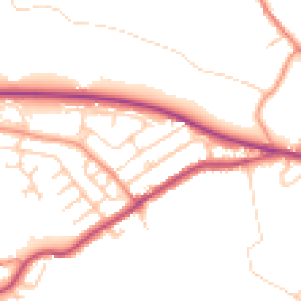
Daytime· 07:00 – 23:00
49.5dB

Night-time· 23:00 – 07:00
40.8dB