1 Birchroyd Close, Huddersfield, HD2 2ES
About 1 Birchroyd Close
1 Birchroyd Close is a five-bedroom detached house in Huddersfield (HD2 2ES). It has a recorded floor area of 249 m² (around 2680 sq ft), construction records dating it to 1983-1990 and council tax band G. The latest certificate (April 2017) shows a C (score 71).
On energy efficiency it sits in the top 10% of properties in this postcode. Today's modelled estimate of £745,000 is 16% above the 2022 sale price. On a £-per-square-foot basis, the last sale (£240/sq ft) was about 59% above the typical sold price in the postcode. Last sale on file: £642,500 in January 2022. That sale was during the post-pandemic price surge, when transactions cleared materially above pre-2020 trend. One historical planning record sits against the property in 2001.
What this property has
Inside
- Bedrooms5
- Bathrooms2
Everything you need to know about 1 Birchroyd Close
The true value, the hidden risks and the full sale history, in one report.
Pick your report · every report is £14.99
One time fee only - money back guarantee

The data behind every report


Energy performance
1 Birchroyd Close ranks among the most efficient homes in the postcode for energy use.
EPC Rating
Get a survey for this property
Level 2 HomeBuyer Report
We've checked 10 risk factors against the available data for this property and believe a Level 2 HomeBuyer Report could be a suitable option for you.
From £995 · Includes VAT
Planning history
Council records include a two-storey extension at 1 Birchroyd Close.
1 application on record at 1 Birchroyd Close, Huddersfield, HD2 2ES
- Sept 2001ExtensionFullOutcome in report
Extension: Two storey
ERECTION OF 2 STOREY EXTENSION
- Documents
- 11 docs on file
- Reference
- 2001/92096
Unlock 1 Birchroyd Close, Huddersfield, HD2 2ES's full planning history
You're seeing the shape of it. The report has the substance.
- Every decision — granted, refused or withdrawn (1 on record)
- All 1 application on this property in full, plus 4 notable nearby
- The 11 documents, officer reports & conditions
- What the pattern means for extending or converting here
One time fee only - money back guarantee
Sales history & valuation
Latest sale on 1 Birchroyd Close was the highest on Land Registry record across the postcode.
£745,000
Modelled from EPC, postcode comparables.
£642,500
Recorded with HM Land Registry.
Sales timeline
28 January 2022Most recent
£642,500
Median price across the last 5 sales in HD2 2ES: £538,000 (2025–2007).
Nearby sales in HD2 2ES
6 Birchroyd Close, Huddersfield, HD2 2ES
Sold Sept 2025
£557,5002 Birchroyd Close, Huddersfield, HD2 2ES
Sold Aug 2023
£575,0003 Birchroyd Close, Huddersfield, HD2 2ES
Sold Jan 2021
£538,0004 Birchroyd Close, Huddersfield, HD2 2ES
Sold May 2013
£246,5008 Birchroyd Close, Huddersfield, HD2 2ES
Sold Feb 2007
£484,000
Versus other Birchroyd Close homes
EPC Rating for 1 Birchroyd Close runs comfortably ahead of the street norm.
Price per m²
£2,580
Street avg £2,339
Floor Area
249 m²
Street avg 220 m²
Habitable Rooms
10 rooms
Street avg 8 rooms
CO₂ Emissions
7.9 t/year
Street avg 9.8 t/year
Everything you need to know about 1 Birchroyd Close
The true value, the hidden risks and the full sale history, in one report.
Pick your report · every report is £14.99
One time fee only - money back guarantee
The data behind every report
Similar properties nearby
The neighbourhood at a glance
Reported crime in the wider district is trending notably upward year-on-year.
Crime
5/mo
Rising year-on-year across the wider district.
Nearest stop
0.3 km
Holly Bank Road — bus stop.
Closest school
0.7 km
Lindley Church of England Infant School. 24 schools nearby.
Go deeper on the local area
A Local Area report breaks down crime, transport links, schools and air quality in depth.
Road noise across the postcode
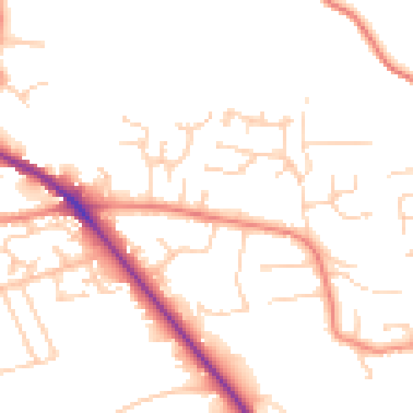
Daytime· 07:00 – 23:00
49.9dB

Night-time· 23:00 – 07:00
40.4dB