15 Corbins Lane, Harrow, HA2 8EL
About 15 Corbins Lane
15 Corbins Lane is a one-bedroom semi-detached house in Harrow (HA2 8EL). It has a recorded floor area of 36 m² (around 388 sq ft), construction records dating it to 1930-1949 and council tax band C. At 36 m² this is the 2nd smallest of 18 units on EPC record in the building, where floor areas span 32–140 m². The building's EPC ratings span E to B across 18 units on file. The home occupies a cul-de-sac position. The latest certificate (March 2018) shows a D (score 67), on the cusp of jumping into the C band. The recommended improvements would push it to C (score 74).
A recent sale: £315,000 in December 2024. Across the public record there are 5 sales, relatively high churn for a single property. At 36 m² it sits well below the postcode median (66 m² across 17 EPCs), making it one of the more compact homes locally. It lags the bulk of the postcode on energy efficiency (less efficient than 71% of similar EPCs). 3 planning records sit against the property, 2 approved, 0 refused. Past consents include an extension, meaningful when judging how the property has evolved. Across 2002–2024, sale prices on this property compounded at 5.7% per year. On a £-per-square-foot basis, the last sale (£813/sq ft) was about 72.8% above the typical sold price in the postcode.
Know exactly what you're buying at 15 Corbins Lane
Before you offer, see what the listing won't tell you, the true value, the red flags and the full history.
Already flagged here
Valuation
against the asking price
Risks
planning & flood
Sold prices
similar homes nearby
Trends
the local market
What this property has
Inside
- Bedrooms1
- Bathrooms1
- Open-plan layoutYes
Outside
- Private gardenYes
- Cul-de-sacYes
Energy performance
EPC Rating
Planning history
15 Corbins Lane has an approved single-storey rear extension on the planning record.
- Mar 2019ExtensionFullIn report
Extension: Single storey · Rear of property
Single storey rear extension to ground floor flat
- Documents
- 13 docs on file
- Reference
- P/0038/19
- Jul 2002New BuildFullIn report
Three storey block to provide 12 x 1 bed and 6 x 2 bed flats with access and parking
- Reference
- WEST/470/02/FUL
We flagged 2 things worth checking at 15 Corbins Lane
Independent checks surfaced things a buyer would want to understand before offering. The report explains each one in full, with the underlying data and what to ask.
- Signs of HMO activity in the area
- Larger development activity nearby
30-day money-back guarantee
Sales history & valuation
15 Corbins Lane has more than tripled in price since its earliest registered sale in 2002.
£340,000
Modelled from EPC, postcode comparables and a sale-price growth of 5.7% per year over 22 years.
£315,000
Growth on file: 5.7% per year over 22 years.
Sales timeline
23 December 2024Most recent
£315,000
+12.5%over 5 years27 August 2019
£280,000
+40.0%over 10 months2 November 2018
£200,000
+45.5%over 14 years19 December 2003
£137,500
+49.1%over 1 year5 November 2002
£92,200
Median price across the last 5 sales in HA2 8EL: £390,000 (2024–2016).
Nearby sales in HA2 8EL
Everything we know about 15 Corbins Lane, in one report
What it's really worth, what could be wrong, and the planning, sales and area data in full.
What we flagged
- Signs of HMO activity in the area
- Larger development activity nearby

Versus other Corbins Lane homes
Price per m² for 15 Corbins Lane runs comfortably ahead of the street norm.
Price per m²
£8,750
Street avg £5,486
Floor Area
36 m²
Street avg 64 m²
CO₂ Emissions
1.8 t/year
Street avg 0.7 t/year
Years Held
1 years
Street avg 9 years
Similar properties nearby
1 Corbins Lane
HA2 8EL
1 Cadogan Close
HA2 8JR
1 Barnetts Court, Corbins Lane
HA2 8EU
1 Ivy Close
HA2 8RX
1 Fentiman Way
HA2 8FD
1 Bridge Court, Stanley Road
HA2 8FB
1 Brendon Gardens
HA2 8NE
1 Hadleigh Close
HA2 8FA
The neighbourhood at a glance
Rail-style transport is unusually close for this postcode.
Crime
6/mo
Rising year-on-year across the wider district.
Nearest stop
0.1 km
Corbins Lane South Harrow — bus stop.
Closest school
0.4 km
The Welldon Park Academy. 37 schools nearby.
Go deeper on the local area
The full report breaks down crime, transport links, schools and air quality in depth.
Road noise across the postcode
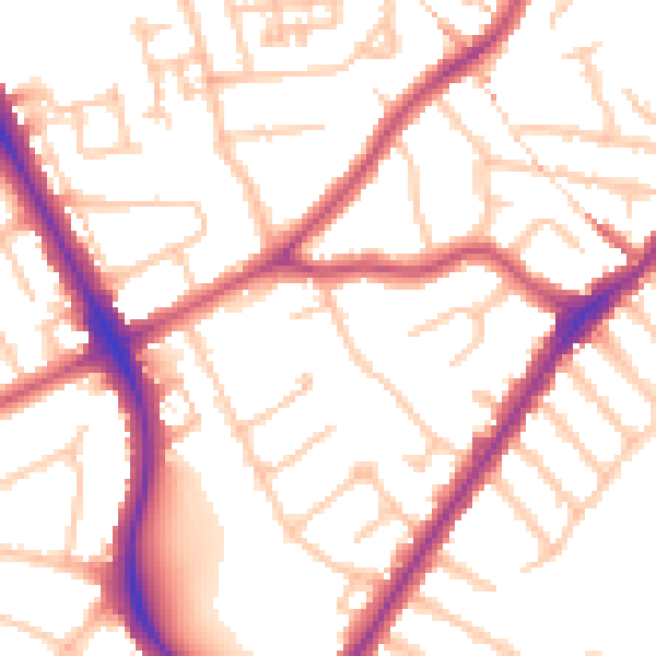
Daytime· 07:00 – 23:00
52.6dB

Night-time· 23:00 – 07:00
42.1dB