7 Abercorn Crescent, Harrow, HA2 0PX
About 7 Abercorn Crescent
7 Abercorn Crescent is a mid-terrace house in Harrow (HA2 0PX). It has a recorded floor area of 33 m² (around 355 sq ft), construction records dating it to 1930-1949 and council tax band B. The latest certificate (December 2017) shows an E (score 54), well below the UK norm with real room to improve. The recommended improvements would push it to D (score 63).
Untraded for 19 years, with the last transfer in April 2007. Across the public record there are 4 sales, relatively high churn for a single property. That sale landed at the peak of the pre-credit-crunch market, which is a useful reference point when interpreting the price. Across 1997–2007, sale prices on this property compounded at 14.4% per year. Today's modelled estimate of £257,000 sits 83.6% above the 2007 sale of £140,000. On a £-per-square-foot basis, the last sale (£394/sq ft) was about 40.3% above the typical sold price in the postcode. At 33 m² it sits well below the postcode median (78 m² across 28 EPCs), making it one of the more compact homes locally. It lags the bulk of the postcode on energy efficiency (less efficient than 82% of similar EPCs). One planning record on file: an extension approved in 2007. Past consents include an extension, meaningful when judging how the property has evolved.
Know exactly what you're buying at 7 Abercorn Crescent
Before you offer, see what the listing won't tell you, the true value, the red flags and the full history.
Already flagged here
Valuation
against the asking price
Risks
planning & flood
Sold prices
similar homes nearby
Trends
the local market
Energy performance
EPC Rating
Planning history
7 Abercorn Crescent has an approved single-storey rear extension on the planning record.
- Jul 2007ExtensionFullIn report
Extension: Single storey · Rear of property
Single storey rear extension
- Documents
- 15 docs on file
- Reference
- P/1668/07
We flagged 2 things worth checking at 7 Abercorn Crescent
Independent checks surfaced things a buyer would want to understand before offering. The report explains each one in full, with the underlying data and what to ask.
- Signs of HMO activity in the area
- Larger development activity nearby
30-day money-back guarantee
Sales history & valuation
Sale price has grown by over 3x since 1997.
£257,000
Modelled from EPC, postcode comparables and a sale-price growth of 14.4% per year over 10 years.
£140,000
Growth on file: 14.4% per year over 10 years.
Sales timeline
29 April 2007Most recent
£140,000
+75.0%over 5 years18 January 2002
£80,000
+63.3%over 2 years27 May 1999
£49,000
+30.7%over 1 year13 July 1997
£37,500
Median price across the last 5 sales in HA2 0PX: £122,000 (2023–2018).
Nearby sales in HA2 0PX
39 Abercorn Crescent, Harrow, HA2 0PX
Sold Sept 2023
£470,000Flat 2, 13 Abercorn Crescent, Harrow, HA2 0PX
Sold Nov 2021
£122,00089 Abercorn Crescent, Harrow, HA2 0PX
Sold Mar 2020
£410,000Flat 1, 13 Abercorn Crescent, Harrow, HA2 0PX
Sold Aug 2019
£5,83053 Abercorn Crescent, Harrow, HA2 0PX
Sold Dec 2017
£425,000
Everything we know about 7 Abercorn Crescent, in one report
What it's really worth, what could be wrong, and the planning, sales and area data in full.
What we flagged
- Signs of HMO activity in the area
- Larger development activity nearby

Versus other Abercorn Crescent homes
Habitable Rooms for 7 Abercorn Crescent runs comfortably ahead of the street norm.
Price per m²
£4,242
Street avg £10,393
Floor Area
33 m²
Street avg 32 m²
Habitable Rooms
3 rooms
Street avg 2 rooms
CO₂ Emissions
2.7 t/year
Street avg 1.9 t/year
Similar properties nearby
1 Crown Court, Crown Street
HA2 0HS
1 Cowen Avenue
HA2 0LU
1 Berry Court, Juniper Close
HA2 0FN
1 Abbotts Court, Ashbourne Avenue
HA2 0LE
1 Amber Court, Goldsmith Close
HA2 0EZ
1 Annan Court, Coles Crescent
HA2 0SW
1 Coral Court, Serenity Close
HA2 0FW
1 Dublin Court, Northolt Road
HA2 0LH
The neighbourhood at a glance
Rail-style transport is unusually close for this postcode.
Crime
6/mo
Rising year-on-year across the wider district.
Nearest stop
0.4 km
Porlock Avenue — bus stop.
Closest school
0.3 km
Grange Primary School. 37 schools nearby.
Go deeper on the local area
The full report breaks down crime, transport links, schools and air quality in depth.
Road noise across the postcode
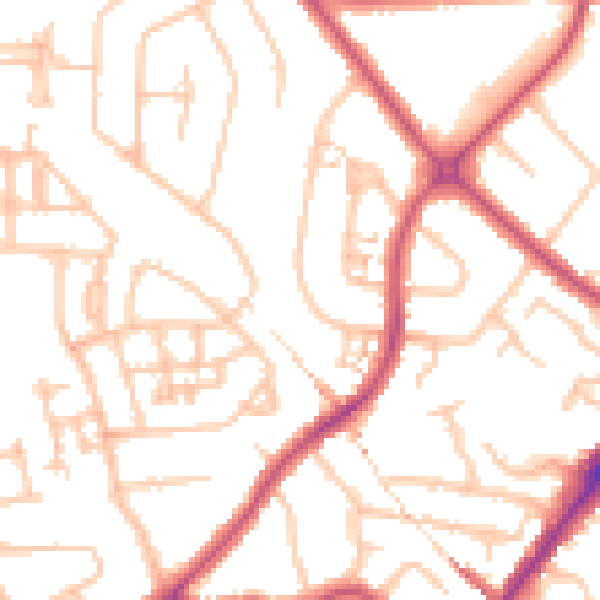
Daytime· 07:00 – 23:00
51.0dB

Night-time· 23:00 – 07:00
39.4dB