12 Bethecar Road, Harrow, HA1 1SF
About 12 Bethecar Road
12 Bethecar Road is a three-bedroom property in Harrow (HA1 1SF). It has council tax band E. Our model identifies extension potential, subject to local planning policy.
5 planning records sit against the property, 3 approved, 1 refused. Past consents include an extension, meaningful when judging how the property has evolved. 14 years since the last transfer (October 2012).
Know exactly what you're buying at 12 Bethecar Road
Before you offer, see what the listing won't tell you, the true value, the red flags and the full history.
Already flagged here
Valuation
against the asking price
Risks
planning & flood
Sold prices
similar homes nearby
Trends
the local market
What this property has
Inside
- Bedrooms3
Outside
- GarageYes
Building
- RefurbishedYes
- Extension potentialPossible
Energy performance
No EPC on record
This property doesn't have an Energy Performance Certificate yet. An EPC is required to sell or let — and unlocks our automated valuation.
Planning history
12 Bethecar Road has been extended on multiple sides of the property across separate planning applications.
- Sept 2018ExtensionOutlineIn report
Certificate of lawful proposed development: alteration and extension to the roof of the existing two storey side extension; rear dormer
- Documents
- 12 docs on file
- Reference
- P/3258/18
- Feb 2015ExtensionFullIn report
Extension: Side of property
WITHDRAWN - SINGLE STOREY FRONT EXTENSION; SINGLE AND TWO STOREY SIDE EXTENSION
- Reference
- P/0851/15
We flagged 1 thing worth checking at 12 Bethecar Road
Independent checks surfaced things a buyer would want to understand before offering. The report explains each one in full, with the underlying data and what to ask.
- Signs of HMO activity in the area
30-day money-back guarantee
Sales history & valuation
£332,500
Recorded with HM Land Registry.
Sales timeline
9 October 2012Most recent
£332,500
Median price across the last 5 sales in HA1 1SF: £707,500 (2025–2013).
Everything we know about 12 Bethecar Road, in one report
What it's really worth, what could be wrong, and the planning, sales and area data in full.
What we flagged
- Signs of HMO activity in the area

Similar properties nearby
The neighbourhood at a glance
Rail-style transport is unusually close for this postcode.
Crime
28/mo
Steady year-on-year across the wider district.
Nearest stop
0.3 km
Safari Cinema — bus stop.
Closest school
0.4 km
Marlborough Primary School. 39 schools nearby.
Go deeper on the local area
The full report breaks down crime, transport links, schools and air quality in depth.
Road noise across the postcode
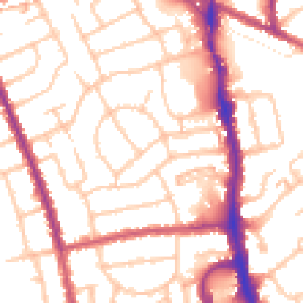
Daytime· 07:00 – 23:00
53.0dB

Night-time· 23:00 – 07:00
42.0dB