46 High Path Road, Guildford, GU1 2QQ
About 46 High Path Road
46 High Path Road is a three-bedroom semi-detached house in Guildford (GU1 2QQ). It has a recorded floor area of 111 m² (around 1195 sq ft), construction records dating it to 1900-1929 and council tax band D. Tenure is freehold. The latest certificate (September 2022) shows a D (score 63), on the cusp of jumping into the C band. When first surveyed in January 2014 the rating was E, the property has climbed 1 band since. Between certificates, roof efficiency went from Poor to Good and lighting went from Poor to Very Good; while wall efficiency dropped from Poor to Very Poor. The recommended improvements would lift it to B (score 81), a 2-band jump.
At 111 m² the property is well over the postcode median (72 m² across 31 EPCs), placing it in the larger end of the local stock. 3 planning records sit against the property, 3 approved, 0 refused. Past consents include an extension, meaningful when judging how the property has evolved. Across 1995–2024, sale prices on this property compounded at 7.7% per year. On a £-per-square-foot basis, the last sale (£536/sq ft) was about 61.2% above the typical sold price in the postcode. Most recent transfer: January 2024 at £640,000.
What this property has
Inside
- Bedrooms3
- Bathrooms2
- Dining roomYes
- EnsuiteYes
- StudyYes
Outside
- Private gardenRear
Building
- TenureFreehold
Everything you need to know about 46 High Path Road
The true value, the hidden risks and the full sale history, in one report.
30-day money-back guarantee

The data behind every report


Energy performance
Recommended upgrades on file would lift this property by multiple EPC bands.
EPC Rating
Property Improvements
Changes detected from historical EPC data
Heating controls upgraded for better temperature management
Loft insulation upgraded to recommended levels
More low energy lighting installed
Planning history
46 High Path Road has an approved single-storey rear extension on the planning record.
- Oct 2019ExtensionAmendmentIn report
Certificate of Lawfulness for an existing development to establish whether a hip to gable roof extension with an L shaped rear dormer and juliet balcony is lawful.
- Agent
- SkyLofts Ltd
- Documents
- 14 docs on file
- Reference
- 19/P/01248
- Dec 2014RenovationFullIn report
Installation of two roof lights on the north west side elevation.
- Documents
- 8 docs on file
- Reference
- 14/P/02068
We flagged 1 thing worth checking at 46 High Path Road
Independent checks surfaced things a buyer would want to understand before offering. The report explains each one in full, with the underlying data and what to ask.
- Larger development activity nearby
30-day money-back guarantee
Sales history & valuation
Latest sale on 46 High Path Road was the highest on Land Registry record across the postcode.
£647,000
Modelled from EPC, postcode comparables and a sale-price growth of 7.7% per year over 28 years.
£640,000
Growth on file: 7.7% per year over 28 years.
Sales timeline
31 January 2024Most recent
£640,000
+36.9%over 6 years13 February 2017
£467,500
+16.9%over 2 years23 April 2014
£400,000
+153.2%over 14 years3 November 1999
£158,000
+97.5%over 3 years15 December 1995
£80,000
Median price across the last 5 sales in GU1 2QQ: £545,000 (2025–2024).
Nearby sales in GU1 2QQ
39 High Path Road, Guildford, GU1 2QQ
Sold Sept 2025
£545,00035 High Path Road, Guildford, GU1 2QQ
Sold Feb 2025
£510,00030 High Path Road, Guildford, GU1 2QQ
Sold Feb 2025
£638,0001 Roke House, High Path Road, Guildford, GU1 2QQ
Sold Apr 2024
£195,00037 High Path Road, Guildford, GU1 2QQ
Sold Mar 2024
£445,000
Versus other High Path Road homes
Floor Area for 46 High Path Road runs comfortably ahead of the street norm.
Price per m²
£5,766
Street avg £5,520
Floor Area
111 m²
Street avg 78 m²
Habitable Rooms
6 rooms
Street avg 4 rooms
CO₂ Emissions
3.7 t/year
Street avg 4.2 t/year
Everything you need to know about 46 High Path Road
The true value, the hidden risks and the full sale history, in one report.
30-day money-back guarantee
The data behind every report
Similar properties nearby
1 Cranley Road
GU1 2EH
1 Burwood Close
GU1 2SB
1 Bushy Hill Drive
GU1 2UH
1 Chaucer House, Upper Edgeborough Road
GU1 2BD
1 Culver House, Boxgrove Road
GU1 2LT
1 Culworth House, West Road
GU1 2AS
1 Avon Court, Pit Farm Road
GU1 2JT
1 Churchill Road
GU1 2AX
The neighbourhood at a glance
Daytime road noise here sits well below conversation level — a quiet pocket of the postcode.
Crime
27/mo
Steady year-on-year across the wider district.
Nearest stop
0.2 km
High Path Road — bus stop.
Closest school
0.4 km
St Thomas of Canterbury Catholic Primary School. 13 schools nearby.
Go deeper on the local area
The full report breaks down crime, transport links, schools and air quality in depth.
Road noise across the postcode
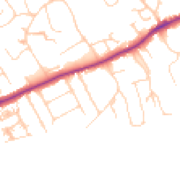
Daytime· 07:00 – 23:00
47.9dB

Night-time· 23:00 – 07:00
39.4dB