28a, Hewlett Road, Cheltenham, GL52 6AA
About 28a
28a is a detached house in Cheltenham (GL52 6AA). It has a recorded floor area of 40 m² (around 432 sq ft) and construction records dating it to 1950-1966. At 40 m² this is the 6th smallest of 28 units on EPC record in the building, where floor areas span 26–178 m². The building's EPC ratings span F to C across 28 units on file. The latest certificate (March 2009) shows a D (score 67), on the cusp of jumping into the C band. The latest certificate is from March 2009, so improvements made since then won't be reflected.
Untraded for 18 years, with the last transfer in March 2008. That sale landed at the peak of the pre-credit-crunch market, which is a useful reference point when interpreting the price. At 40 m² it sits well below the postcode median (61 m² across 27 EPCs), making it one of the more compact homes locally. Today's modelled estimate of £166,000 is 46.9% above the 2008 sale price. On a £-per-square-foot basis, the last sale (£262/sq ft) was about 89.2% above the typical sold price in the postcode.
Everything you need to know about 28a
The true value, the hidden risks and the full sale history, in one report.
30-day money-back guarantee

The data behind every report


Energy performance
28a's EPC is over a decade old — improvements since won't be reflected.
EPC Expired
This certificate is over 10 years old and is no longer valid.Expired 03 Mar 2019
EPC Rating
Planning history
28a has no planning applications on record.
Notable planning nearby
1applications of note in the surrounding area
Sales history & valuation
The latest sale landed at the peak of the pre-credit-crunch market — a high-water reference point.
£166,000
Modelled from EPC, postcode comparables.
£113,000
Recorded with HM Land Registry.
Sales timeline
10 March 2008Most recent
£113,000
Median price across the last 5 sales in GL52 6AA: £640,000 (2025–2016).
Nearby sales in GL52 6AA
Versus other Hewlett Road homes
On floor area, 28a runs well behind the street norm.
Price per m²
£2,815
Street avg £3,304
Floor Area
40 m²
Street avg 58 m²
Habitable Rooms
2 rooms
Street avg 3 rooms
CO₂ Emissions
2.4 t/year
Street avg 2.8 t/year
Everything you need to know about 28a
The true value, the hidden risks and the full sale history, in one report.
30-day money-back guarantee
The data behind every report
Similar properties nearby
1 Berkeley Court, High Street
GL52 6DA
1 Berkeley Lodge, Hewlett Road
GL52 6AB
1 Battledown Priors
GL52 6RB
1 Back Keynsham Street, Hales Road
GL52 6ET
1 Berkeley Place
GL52 6DB
1 Churchill Drive, Charlton Kings
GL52 6JH
1 Churchill Gardens, Churchill Drive, Charlton Kings
GL52 6JH
1 Coltham Close
GL52 6RL
The neighbourhood at a glance
Crime
3/mo
Steady year-on-year across the wider district.
Nearest stop
0.1 km
Carlton Street — bus stop.
Closest school
0.1 km
St John's Church of England Primary School. 23 schools nearby.
Go deeper on the local area
The full report breaks down crime, transport links, schools and air quality in depth.
Road noise across the postcode
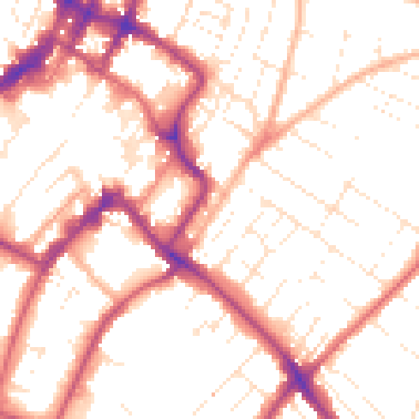
Daytime· 07:00 – 23:00
52.8dB
Night-time· 23:00 – 07:00
43.5dB