139a, Prestbury Road, Cheltenham, GL52 2DT
About 139a
139a is an end-of-terrace house in Cheltenham (GL52 2DT). It has a recorded floor area of 57 m² (around 614 sq ft), construction records dating it to 1900-1929 and council tax band B. The latest certificate (June 2021) shows a C (score 74). The rating has held steady at C across 4 certificates since January 2009. Between certificates, lighting went from Very Poor to Very Good; while window efficiency dropped from Good to Average. The recommended improvements would push it to B (score 88).
Today's modelled estimate of £243,000 sits 143% above the 2025 sale of £100,000. On a £-per-square-foot basis, the last sale (£163/sq ft) was about 22.1% below the postcode norm. Most recent transfer was June 2025 at £100,000 — fresh data. At 57 m² it sits well below the postcode median (98 m² across 7 EPCs), making it one of the more compact homes locally. Its energy rating outperforms most of the postcode (better than 86% of similar EPCs).
Everything you need to know about 139a
The true value, the hidden risks and the full sale history, in one report.
30-day money-back guarantee

The data behind every report


Energy performance
EPC Rating
Property Improvements
Changes detected from historical EPC data
Floor insulation added or improved
Wall insulation improved
Roof insulation improved
Floor insulation added or improved
Planning history
139a has no planning applications on record.
Notable planning nearby
2applications of note in the surrounding area
We flagged 2 things worth checking at 139a
Independent checks surfaced things a buyer would want to understand before offering. The report explains each one in full, with the underlying data and what to ask.
- Larger development activity nearby
- Environmental risk flagged
30-day money-back guarantee
Sales history & valuation
£243,000
Modelled from EPC, postcode comparables.
£100,000
Recorded with HM Land Registry.
Sales timeline
10 June 2025Most recent
£100,000
Median price across the last 5 sales in GL52 2DT: £320,000 (2022–2016).
Nearby sales in GL52 2DT
137 Prestbury Road, Cheltenham, GL52 2DT
Sold Nov 2022
£360,000139 Prestbury Road, Cheltenham, GL52 2DT
Sold May 2022
£180,000123 Prestbury Road, Cheltenham, GL52 2DT
Sold Jan 2022
£320,000125 Prestbury Road, Cheltenham, GL52 2DT
Sold Sept 2020
£375,000133 Prestbury Road, Cheltenham, GL52 2DT
Sold Mar 2014
£250,000
Versus other Prestbury Road homes
On price per m², 139a runs well behind the street norm.
Price per m²
£1,754
Street avg £2,821
Floor Area
57 m²
Street avg 100 m²
Habitable Rooms
3 rooms
Street avg 5 rooms
CO₂ Emissions
1.8 t/year
Street avg 4.7 t/year
Everything you need to know about 139a
The true value, the hidden risks and the full sale history, in one report.
30-day money-back guarantee
The data behind every report
Similar properties nearby
1 Fairhavens Court, Pittville Circus Road
GL52 2QR
1 Anlaby Court, Evesham Road
GL52 2AJ
1 Cotswold Lodge, Pittville Circus Road
GL52 2QP
1 Hartley Court, Pittville Circus Road
GL52 2QE
1 Britannia Square, Fairview Street
GL52 2JQ
1 Beaufort Cottages, Columbia Street
GL52 2JS
1 Duke Of Wellington Court, Fishers Lane
GL52 2AT
1 Godwin Close, Pittville Circus Road
GL52 2QT
The neighbourhood at a glance
Daytime road noise here sits well below conversation level — a quiet pocket of the postcode.
Crime
3/mo
Steady year-on-year across the wider district.
Nearest stop
0.1 km
Cromwell Road — bus stop.
Closest school
0.5 km
Pittville School. 19 schools nearby.
Go deeper on the local area
The full report breaks down crime, transport links, schools and air quality in depth.
Road noise across the postcode
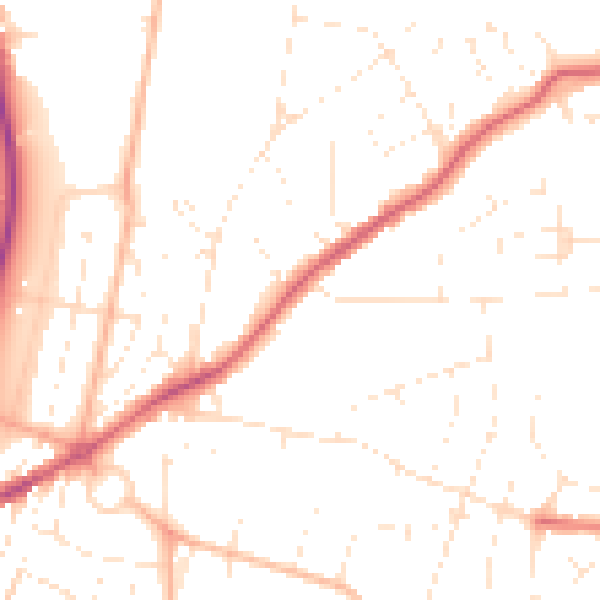
Daytime· 07:00 – 23:00
49.8dB

Night-time· 23:00 – 07:00
40.0dB