139 Prestbury Road, Cheltenham, GL52 2DT
About 139 Prestbury Road
139 Prestbury Road is an end-of-terrace house in Cheltenham (GL52 2DT). It has a recorded floor area of 79 m² (around 850 sq ft), construction records dating it to 1930-1949 and council tax band B. The latest certificate (June 2022) shows a D (score 68), on the cusp of jumping into the C band. The rating has held steady at D across 3 certificates since October 2008. Between certificates, wall efficiency went from Very Poor to Poor, roof efficiency went from Very Poor to Good and window efficiency went from Average to Good; while lighting dropped from Average to Very Poor. The recommended improvements would lift it to B (score 87), a 2-band jump.
Today's modelled estimate of £281,000 sits 56.1% above the 2022 sale of £180,000. On a £-per-square-foot basis, the last sale (£212/sq ft) was about 27% above the typical sold price in the postcode. 14 planning records sit against the property, 8 approved, 3 refused. Past consents include subdivision and an extension, meaningful when judging how the property has evolved. At 79 m² it's 19.4% smaller than the typical home in the postcode (98 m² median across 7 EPCs). Most recent transfer: May 2022 at £180,000. That sale was during the post-pandemic price surge, when transactions cleared materially above pre-2020 trend.
Everything you need to know about 139 Prestbury Road
The true value, the hidden risks and the full sale history, in one report.
30-day money-back guarantee

The data behind every report


Energy performance
Recommended upgrades on file would lift this property by multiple EPC bands.
EPC Rating
Property Improvements
Changes detected from historical EPC data
Heating controls changed
Wall insulation improved
Roof insulation improved
Window efficiency improved
Planning history
Council records show a subdivision application — the property's legal arrangement has been altered.
- Mar 2021FullIn report
Construction of car ports; at 139 Prestbury Road and 3 Cromwell Road, replacement of sliding gate with pedestrian gate; rendering of brick walls
- Agent
- Sutton Cox Architects
- Documents
- 8 docs on file
- Reference
- 21/00124/FUL
- Dec 2018AmendmentIn report
Application for a Lawful Development for an Existing Use or Operation for the subdivision of 139 Prestbury Road and associated operational development to form two residential (C3) planning units
- Agent
- Hunter Page Planning Ltd
Retrospective- Documents
- 7 docs on file
- Reference
- 18/02134/CLEUD
We flagged 2 things worth checking at 139 Prestbury Road
Independent checks surfaced things a buyer would want to understand before offering. The report explains each one in full, with the underlying data and what to ask.
- Larger development activity nearby
- Environmental risk flagged
30-day money-back guarantee
Sales history & valuation
The latest sale landed in the post-pandemic price surge — useful context when reading the figure.
£281,000
Modelled from EPC, postcode comparables.
£180,000
Recorded with HM Land Registry.
Sales timeline
22 May 2022Most recent
£180,000
Median price across the last 5 sales in GL52 2DT: £320,000 (2025–2016).
Nearby sales in GL52 2DT
139a, Prestbury Road, Cheltenham, GL52 2DT
Sold Jun 2025
£100,000137 Prestbury Road, Cheltenham, GL52 2DT
Sold Nov 2022
£360,000123 Prestbury Road, Cheltenham, GL52 2DT
Sold Jan 2022
£320,000125 Prestbury Road, Cheltenham, GL52 2DT
Sold Sept 2020
£375,000133 Prestbury Road, Cheltenham, GL52 2DT
Sold Mar 2014
£250,000
Versus other Prestbury Road homes
Floor Area for 139 Prestbury Road lags the street by a wide margin.
Price per m²
£2,278
Street avg £2,733
Floor Area
79 m²
Street avg 97 m²
Habitable Rooms
4 rooms
Street avg 5 rooms
CO₂ Emissions
2.9 t/year
Street avg 4.6 t/year
Everything you need to know about 139 Prestbury Road
The true value, the hidden risks and the full sale history, in one report.
30-day money-back guarantee
The data behind every report
Similar properties nearby
1 Glenfall Street
GL52 2JA
1 Gloucester Place
GL52 2RJ
1 Duke Of Wellington Court, Fishers Lane
GL52 2AT
1 All Saints Road
GL52 2EY
1 Beaufort Cottages, Columbia Street
GL52 2JS
1 Britannia Square, Fairview Street
GL52 2JQ
1 Garden Flat, 11 Pittville Lawn
GL52 2BE
1 Fairhavens Court, Pittville Circus Road
GL52 2QR
The neighbourhood at a glance
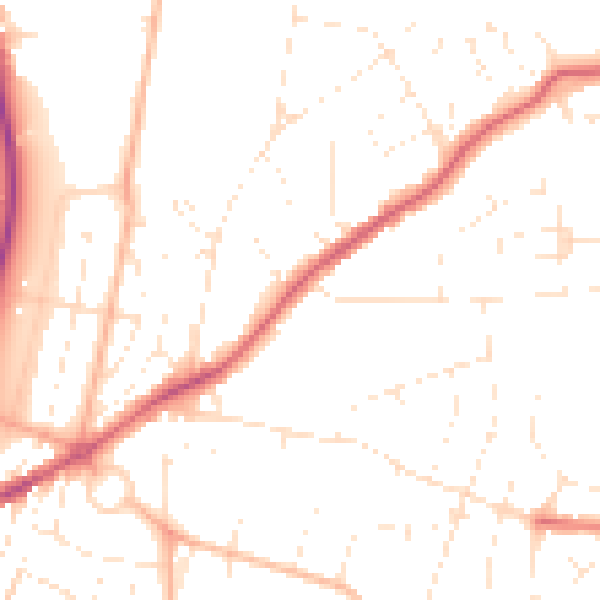
Daytime road noise here sits well below conversation level — a quiet pocket of the postcode.
Crime
3/mo
Steady year-on-year across the wider district.
Nearest stop
0.1 km
Cromwell Road — bus stop.
Closest school
0.5 km
Pittville School. 19 schools nearby.
Go deeper on the local area
The full report breaks down crime, transport links, schools and air quality in depth.
Road noise across the postcode
Daytime· 07:00 – 23:00
49.8dB

Night-time· 23:00 – 07:00
40.0dB