102 Salisbury Avenue, Cheltenham, GL51 3BY
About 102 Salisbury Avenue
102 Salisbury Avenue is a two-bedroom semi-detached house in Cheltenham (GL51 3BY). It has a recorded floor area of 49 m² (around 527 sq ft), construction records dating it to 1950-1966 and council tax band C. The latest certificate (October 2020) shows a D (score 68), on the cusp of jumping into the C band. The recommended improvements would lift it to B (score 89), a 2-band jump.
One planning record on file: an extension approved in 2021. Past consents include an extension, meaningful when judging how the property has evolved. Across 2001–2021, sale prices on this property compounded at 5.7% per year. Today's modelled estimate of £301,000 is 20.4% above the 2021 sale price. On a £-per-square-foot basis, the last sale (£474/sq ft) was about 36.3% above the typical sold price in the postcode. At 49 m² it's 19% smaller than the typical home in the postcode (61 m² median across 10 EPCs). Sold January 2021 for £249,950. That sale was during the post-pandemic price surge, when transactions cleared materially above pre-2020 trend.
What this property has
Inside
- Bedrooms2
- Bathrooms1
- CloakroomYes
Outside
- Private gardenYes
- ParkingOff road
Building
- Central heatingYes
Everything you need to know about 102 Salisbury Avenue
The true value, the hidden risks and the full sale history, in one report.
Pick your report · every report is £14.99
One time fee only - money back guarantee

The data behind every report


Energy performance
Recommended upgrades on file would lift this property by multiple EPC bands.
EPC Rating
Get a survey for this property
Level 2 HomeBuyer Report
We've checked 10 risk factors against the available data for this property and believe a Level 2 HomeBuyer Report could be a suitable option for you.
From £595 · Includes VAT
Planning history
102 Salisbury Avenue has an approved single-storey rear extension on the planning record.
1 application on record at 102 Salisbury Avenue, Cheltenham, GL51 3BY
- May 2021ExtensionFullOutcome in report
Extension: Single storey · Rear of property
Single storey rear extension
- Documents
- 6 docs on file
- Reference
- 21/00933/FUL
Unlock 102 Salisbury Avenue, Cheltenham, GL51 3BY's full planning history
You're seeing the shape of it. The report has the substance.
- Every decision — granted, refused or withdrawn (1 on record)
- All 1 application on this property in full
- The 6 documents, officer reports & conditions
- What the pattern means for extending or converting here
One time fee only - money back guarantee
Sales history & valuation
102 Salisbury Avenue has more than tripled in price since its earliest registered sale in 2001.
£301,000
Modelled from EPC, postcode comparables and a sale-price growth of 5.7% per year over 20 years.
£249,950
Growth on file: 5.7% per year over 20 years.
Sales timeline
15 January 2021Most recent
£249,950
+49.7%over 12 years7 October 2008
£167,000
+101.3%over 7 years16 February 2001
£82,950
Median price across the last 5 sales in GL51 3BY: £300,000 (2025–2020).
Nearby sales in GL51 3BY
98 Salisbury Avenue, Cheltenham, GL51 3BY
Sold Oct 2025
£285,000100 Salisbury Avenue, Cheltenham, GL51 3BY
Sold Sept 2025
£300,000122 Salisbury Avenue, Cheltenham, GL51 3BY
Sold Feb 2024
£280,000126 Salisbury Avenue, Cheltenham, GL51 3BY
Sold May 2023
£363,000104 Salisbury Avenue, Cheltenham, GL51 3BY
Sold Jun 2020
£385,000
Versus other Salisbury Avenue homes
102 Salisbury Avenue is notably below the street on floor area.
Price per m²
£5,101
Street avg £4,504
Floor Area
49 m²
Street avg 65 m²
Habitable Rooms
3 rooms
Street avg 4 rooms
CO₂ Emissions
2.1 t/year
Street avg 3.2 t/year
Everything you need to know about 102 Salisbury Avenue
The true value, the hidden risks and the full sale history, in one report.
Pick your report · every report is £14.99
One time fee only - money back guarantee
The data behind every report
Similar properties nearby
1 Chapman Way
GL51 3NE
1 Azalea Drive, Up Hatherley
GL51 3EA
1 Camellia Court, Up Hatherley
GL51 3EJ
1 Browning Mews
GL51 3NN
1 Bronte Close
GL51 3NG
1 Buttermere Close
GL51 3NZ
1 Broad Oak Way
GL51 3LG
1 Bass Court, Penrith Road
GL51 3FL
The neighbourhood at a glance
Reported crime in the wider district is trending notably upward year-on-year.
Crime
4/mo
Rising year-on-year across the wider district.
Nearest stop
0.1 km
Local Shops — bus stop.
Closest school
0.2 km
Warden Hill Primary School. 19 schools nearby.
Go deeper on the local area
A Local Area report breaks down crime, transport links, schools and air quality in depth.
Road noise across the postcode
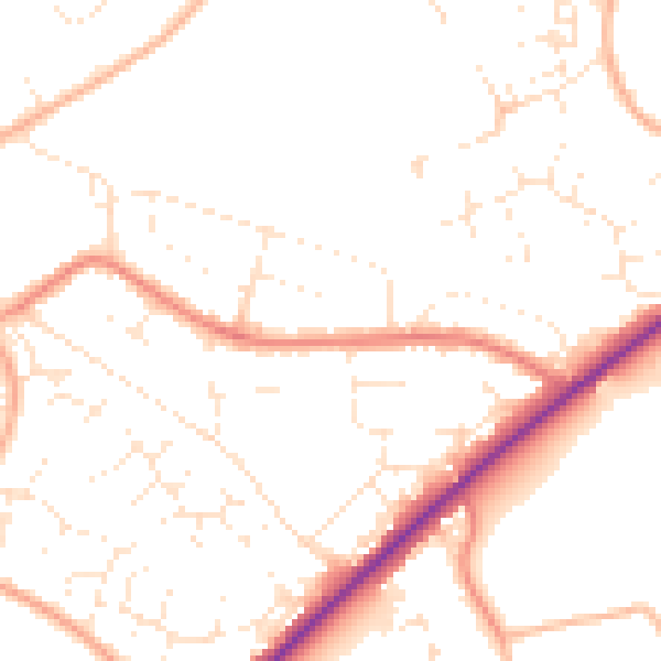
Daytime· 07:00 – 23:00
49.4dB

Night-time· 23:00 – 07:00
40.1dB