219 221, Flat 1, Hertford Road, Enfield, EN3 5JH
About 219 221
219 221 is a detached house in Enfield (EN3 5JH). It has a recorded floor area of 46 m² (around 495 sq ft), construction records dating it to 2007-2011 and council tax band B. At 46 m² this is the 4th smallest of 7 units on EPC record in 219 221, where floor areas span 37–90 m². The building's EPC ratings span E to C, with this unit at the top. The latest certificate (August 2021) shows a C (score 72). When first surveyed in April 2018 the rating was D, the property has climbed 1 band since. Between certificates, wall efficiency went from Poor to Good.
Today's modelled estimate of £225,000 sits 22400% above the 2016 sale of £1,000. On a £-per-square-foot basis, the last sale (£2/sq ft) was about 98.6% below the postcode norm. One planning record on file: an extension approved in 2024. Past consents include an extension, meaningful when judging how the property has evolved. At 46 m² it's 27% smaller than the typical home in the postcode (63 m² median across 23 EPCs). Its energy rating outperforms most of the postcode (better than 74% of similar EPCs). 10 years since the last transfer (November 2016).
Everything you need to know about 219 221
The true value, the hidden risks and the full sale history, in one report.
30-day money-back guarantee

The data behind every report


Energy performance
EPC Rating
Property Improvements
Changes detected from historical EPC data
Heating controls upgraded for better temperature management
Cavity wall insulation installed
Planning history
219 221 has an approved side and rear extension on the planning record.
- Jul 2024ExtensionFullIn report
Extension: Side and rear of property
Front and side extension to existing rear outbuilding.
- Agent
- FORMED LANDS
- Documents
- 22 docs on file
- Reference
- 24/00965/FUL
We flagged 2 things worth checking at 219 221
Independent checks surfaced things a buyer would want to understand before offering. The report explains each one in full, with the underlying data and what to ask.
- Signs of HMO activity in the area
- Larger development activity nearby
30-day money-back guarantee
Sales history & valuation
Latest sale on 219 221 was the lowest on Land Registry record across the postcode.
£225,000
Modelled from EPC, postcode comparables.
£1,000
Recorded with HM Land Registry.
Sales timeline
10 November 2016Most recent
£1,000
Median price across the last 5 sales in EN3 5JH: £460,000 (2021–2002).
Nearby sales in EN3 5JH
Versus other Hertford Road homes
Price per m² for 219 221 lags the street by a wide margin.
Price per m²
£22
Street avg £2,782
Floor Area
46 m²
Street avg 65 m²
Habitable Rooms
2 rooms
Street avg 3 rooms
CO₂ Emissions
1.7 t/year
Street avg 3.6 t/year
Everything you need to know about 219 221
The true value, the hidden risks and the full sale history, in one report.
30-day money-back guarantee
The data behind every report
Similar properties nearby
510b, Flat 1, Hertford Road
EN3 5SS
55a, Flat 10, The Sunny Road
EN3 5EF
510b, Flat 4, Hertford Road
EN3 5SS
55a, Flat 1, The Sunny Road
EN3 5EF
463 465, Flat B, Hertford Road
EN3 5UT
510b, Flat 5, Hertford Road
EN3 5SS
510b, Flat 8, Hertford Road
EN3 5SS
2c, Flat 1, St Stephens Road
EN3 5UJ
The neighbourhood at a glance
Reported crime in the wider district is trending notably upward year-on-year.
Crime
8/mo
Rising year-on-year across the wider district.
Nearest stop
0.1 km
Green Street (EN3) — bus stop.
Closest school
0.1 km
St James CofE Primary School. 47 schools nearby.
Go deeper on the local area
The full report breaks down crime, transport links, schools and air quality in depth.
Road noise across the postcode
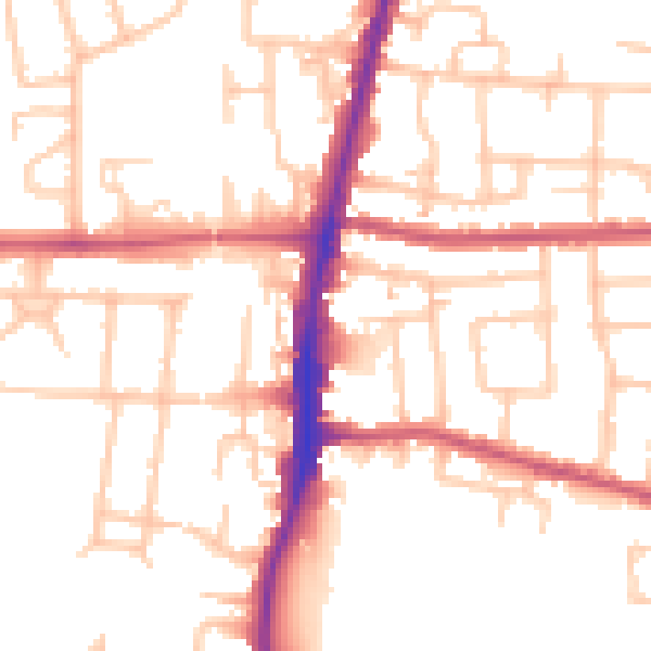
Daytime· 07:00 – 23:00
52.1dB

Night-time· 23:00 – 07:00
41.0dB