72 High Road, Wormley, Broxbourne, EN10 6DU
About 72 High Road
72 High Road is a five-bedroom detached house in Wormley, Broxbourne, Broxbourne (EN10 6DU). It has a recorded floor area of 259 m² (around 2788 sq ft), construction records dating it to before 1900 and council tax band A. The latest certificate (May 2012) shows a C (score 72). The recommended improvements would push it to B (score 81). The latest certificate is from May 2012, so improvements made since then won't be reflected.
At 259 m² the property is well over the postcode median (187 m² across 4 EPCs), placing it in the larger end of the local stock. 5 bedrooms is on the larger side for this postcode, where 3 is the typical count. 4 planning records sit against the property, 0 approved, 0 refused. The record references listed-building consent, which constrain future alterations. 14 years since the last transfer (October 2012). Today's modelled estimate of £1,059,000 is 26.1% above the 2012 sale price.
What this property has
Inside
- Bedrooms5
Everything you need to know about 72 High Road
The true value, the hidden risks and the full sale history, in one report.
30-day money-back guarantee

The data behind every report


Energy performance
72 High Road's carbon output runs well above what efficient homes in the postcode produce.
EPC Expired
This certificate is over 10 years old and is no longer valid.Expired 09 May 2022
EPC Rating
Planning history
72 High Road has a listed-building consent on record — alterations to a listed property are tightly controlled.
- Sept 2015TreesIn report
HAWTHORN IN MIDDLE OF WEST WALL - REMOVE AS CAUSING DAMAGE TO THE GRADE II LISTED WALL
Listed- Reference
- 07/15/0853/TW
- Mar 2013Tree WorksTreesIn report
EUCALYPTUS - LOCATED MIDDLE OF THE NORTH WALL - REMOVE PEAR (SMALL & DISEASED) - MIDDLE EAST WALL - REMOVE TREE UNKNOWN SPECIES - IN LAWN, NEAR EAST WALL - REMOVE
- Reference
- 07/13/0101/TW
We flagged 1 thing worth checking at 72 High Road
Independent checks surfaced things a buyer would want to understand before offering. The report explains each one in full, with the underlying data and what to ask.
- Larger development activity nearby
30-day money-back guarantee
Sales history & valuation
72 High Road valuation sits well clear of the typical sold price in this postcode.
£1,059,000
Modelled from EPC, postcode comparables.
£840,000
Recorded with HM Land Registry.
Sales timeline
9 October 2012Most recent
£840,000
Median price across the last 5 sales in EN10 6DU: £440,000 (2021–2007).
Versus other High Road homes
On habitable rooms, 72 High Road runs well behind the street norm.
EPC Rating
72 (C)
Street avg 69 (C)
Floor Area
259 m²
Street avg 212 m²
CO₂ Emissions
6.7 t/year
Street avg 7.1 t/year
Habitable Rooms
5 rooms
Street avg 10 rooms
Everything you need to know about 72 High Road
The true value, the hidden risks and the full sale history, in one report.
30-day money-back guarantee
The data behind every report
Similar properties nearby
1 Arrow Yard, Old Nazeing Road
EN10 6RX
1 De Burgh Close
EN10 6GL
1 Elgin Road
EN10 6JQ
1 Bulrush Way
EN10 6GT
1 Academia Avenue
EN10 6FW
1 Farriers End
EN10 6BS
1 Cedrus Close
EN10 6GA
1 Broomfield Avenue
EN10 6AX
The neighbourhood at a glance
Crime
3/mo
Steady year-on-year across the wider district.
Nearest stop
0.2 km
The Queens Head PH — bus stop.
Closest school
0.7 km
Longlands Primary School and Nursery. 18 schools nearby.
Go deeper on the local area
The full report breaks down crime, transport links, schools and air quality in depth.
Road noise across the postcode
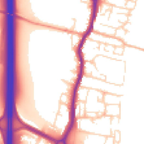
Daytime· 07:00 – 23:00
55.8dB

Night-time· 23:00 – 07:00
47.1dB