Are you a property professional?Get qualified leads from motivated homeowners.
Get started25a, Dames Road, London, E7 0DS
6 sales on record1 planning record
About 25a
A plain-English summary derived from public records, EPC certificates, sold prices and local data.
25a is a two-bedroom mid-terrace house in London (E7 0DS). It has a recorded floor area of 50 m² (around 538 sq ft) and construction records dating it to 1900-1929. The latest certificate (April 2013) shows a D (score 62), on the cusp of jumping into the C band. The recommended improvements would push it to C (score 75). The latest certificate is from April 2013, so improvements made since then won't be reflected. Other recorded features include a conservatory and a basement. Period features are noted in the property record.
Sale prices here have outpaced London HPI: 10.7% per year against 0% for the wider region. On a £-per-square-foot basis, the last sale (£641/sq ft) was about 521% above the typical sold price in the postcode. At 50 m² it sits well below the postcode median (88 m² across 10 EPCs), making it one of the more compact homes locally. Most recent transfer: July 2020 at £345,000. Across the public record there are 6 sales, relatively high churn for a single property. One planning record on file: an extension approved in 2018. Past consents include an extension and a conservatory, meaningful when judging how the property has evolved.
What this property has
Pulled from EPC certificates, claim submissions and our property model. Empty categories are hidden — we only show what's known.
Inside
- Bedrooms2
- Bathrooms1
- Open-plan layoutYes
- Dining roomYes
Energy performance
Every EPC certificate filed against this property — current rating, recorded improvements, and where there's headroom to reach a higher band.
25a's EPC is over a decade old — improvements since won't be reflected.
EPC Expired
This certificate is over 10 years old and is no longer valid.Expired 23 Apr 2023
Planning history
Applications and permits filed against 25a, Dames Road, London, E7 0DS, sourced from the PlanIt planning register.
25a has an approved extension on the planning record.
- May 2018ConservatoryAmendmentApprove
Certificate of lawfulness for the existing rear conservatory
Sales history & valuation
Recorded transactions, our model's current estimate, and a quick read on what neighbouring properties have sold for.
25a has more than quadrupled in price since its earliest registered sale in 1997.
Current estimate
See how we calculated this£368,000
Modelled from EPC, postcode comparables and a sale-price growth of 10.7% per year over 23 years.
Last sold (2020)
£345,000
Growth on file: 10.7% per year over 23 years.
Sales timeline
Versus other Dames Road homes
Four headline reads against 6 similar flats on this street, drawn from the latest EPC and Land Registry data.
On price per m², 25a stands well clear of the street.
Price per m²
£6,900
Street avg £1,553
Floor Area
50 m²
Street avg 65 m²
Habitable Rooms
3 rooms
Street avg 4 rooms
Similar properties nearby
A handful of close matches in the same postcode area, ranked by likeness on bedrooms, type and floor area.
The neighbourhood at a glance
A condensed read of the local area. Each tile links through to the full breakdown on the London district page.
Rail-style transport is unusually close for this postcode.
Crime
29/mo
Falling year-on-year across the wider district.
Nearest stop
0.0 km
Bignold Road — bus stop.
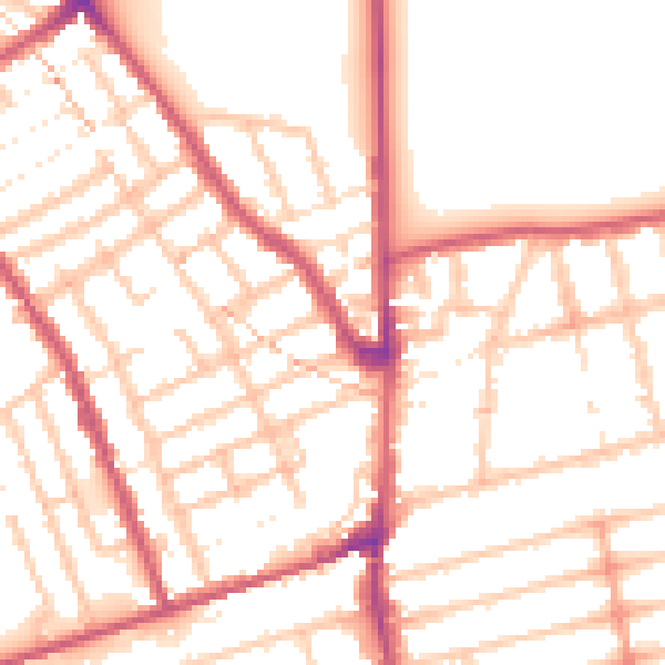
Road noise across the postcode
Modelled day and night-time noise levels around E7 0DS from Defra's strategic mapping. The pin marks this postcode's centroid.
Daytime· 07:00 – 23:00
52.4dB

Everything within walking distance
Schools, transport stops and scenic spots near this property — 102 points of interest in total.
Beautiful places to visit nearby
Curated scenic spots within reach of this postcode, served by Beautifulplaces.ai. Photography and tagging come from their open dataset.
Common questions
The questions buyers, sellers and homeowners most often ask about 25a, Dames Road, London, E7 0DS. Each answer is also embedded as structured data for search engines.