36 Wetherden Street, Waltham Forest, London, E17 8EJ
About 36 Wetherden Street
36 Wetherden Street is a two-bedroom end-of-terrace house in Waltham Forest, London, London (E17 8EJ). It has a recorded floor area of 65 m² (around 700 sq ft), construction records dating it to 1900-1929 and council tax band B. At 65 m² this is the 11th smallest of 30 units on EPC record in the building, where floor areas span 38–93 m². The building's EPC ratings span E to C, with this unit at the top. On EPC score it ranks first in the building (74 versus a worst of 43). The home occupies a cul-de-sac position. The latest certificate (June 2025) shows a C (score 74). When first surveyed in September 2016 the rating was D, the property has climbed 1 band since. Between certificates, wall efficiency went from Very Poor to Poor and window efficiency went from Very Poor to Poor; while roof efficiency dropped from Good to Average and lighting dropped from Very Good to Average.
Across 2007–2017, sale prices on this property compounded at 8.6% per year. Today's modelled estimate of £501,000 is 19.3% above the 2017 sale price. On a £-per-square-foot basis, the last sale (£600/sq ft) was about 148.5% above the typical sold price in the postcode. Last sold in May 2017, so it's been off the market for around 9 years.
Know exactly what you're buying at 36 Wetherden Street
Before you offer, see what the listing won't tell you, the true value, the red flags and the full history.
Already flagged here
Valuation
against the asking price
Risks
planning & flood
Sold prices
similar homes nearby
Trends
the local market
What this property has
Inside
- Bedrooms2
- Bathrooms1
- Dining roomYes
Outside
- Private gardenRear
- GarageYes
- Cul-de-sacYes
Building
- RefurbishedYes
Energy performance
EPC Rating
Property Improvements
Changes detected from historical EPC data
Single glazing replaced with double or better glazing
Wall insulation improved
Planning history
36 Wetherden Street has no planning applications on record.
Notable planning nearby
7applications of note in the surrounding area
We flagged 1 thing worth checking at 36 Wetherden Street
Independent checks surfaced things a buyer would want to understand before offering. The report explains each one in full, with the underlying data and what to ask.
- Signs of HMO activity in the area
30-day money-back guarantee
Sales history & valuation
36 Wetherden Street has more than doubled in price since the earliest registered sale in 2007.
£501,000
Modelled from EPC, postcode comparables and a sale-price growth of 8.6% per year over 10 years.
£420,000
Growth on file: 8.6% per year over 10 years.
Sales timeline
3 May 2017Most recent
£420,000
+129.5%over 10 years25 April 2007
£183,000
Median price across the last 5 sales in E17 8EJ: £475,000 (2025–2024).
Nearby sales in E17 8EJ
26 Wetherden Street, Waltham Forest, London, E17 8EJ
Sold Aug 2025
£475,00032 Wetherden Street, Waltham Forest, London, E17 8EJ
Sold Jul 2024
£480,00034 Wetherden Street, Waltham Forest, London, E17 8EJ
Sold Jun 2024
£435,35058 Wetherden Street, Waltham Forest, London, E17 8EJ
Sold Mar 2024
£437,20012 Wetherden Street, Waltham Forest, London, E17 8EJ
Sold Mar 2024
£595,000
Everything we know about 36 Wetherden Street, in one report
What it's really worth, what could be wrong, and the planning, sales and area data in full.
What we flagged
- Signs of HMO activity in the area

Versus other Wetherden Street homes
On epc rating, 36 Wetherden Street stands well clear of the street.
Price per m²
£6,462
Street avg £4,611
Floor Area
65 m²
Street avg 66 m²
Habitable Rooms
3 rooms
Street avg 3 rooms
CO₂ Emissions
1.8 t/year
Street avg 2.9 t/year
Similar properties nearby
1 Harris Street, Waltham Forest
E17 8EG
1 Acacia Road, Waltham Forest
E17 8BN
1 Forster Road, Waltham Forest
E17 8AU
1 Bowdon Road, Waltham Forest
E17 8JB
1 Connaught Road, Waltham Forest
E17 8QB
1 Brunel Road, Waltham Forest
E17 8SA
1 Alexandra Road, Waltham Forest
E17 8DU
1 Broomfield, Waltham Forest
E17 8DZ
The neighbourhood at a glance
Rail-style transport is unusually close for this postcode.
Crime
12/mo
Rising year-on-year across the wider district.
Nearest stop
0.1 km
St Saviour's Church — bus stop.
Closest school
0.2 km
Sybourn Primary School. 72 schools nearby.
Go deeper on the local area
The full report breaks down crime, transport links, schools and air quality in depth.
Road noise across the postcode
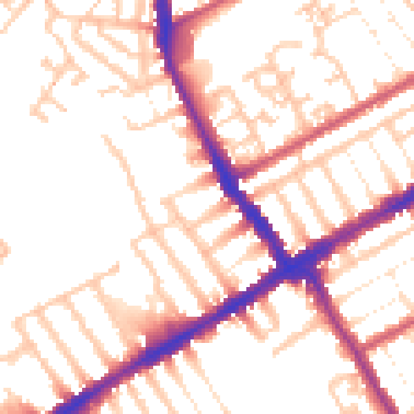
Daytime· 07:00 – 23:00
52.8dB

Night-time· 23:00 – 07:00
42.9dB