73 Elmfield Road, Waltham Forest, London, E17 7HJ
About 73 Elmfield Road
73 Elmfield Road is a two-bedroom mid-terrace house in Waltham Forest, London, London (E17 7HJ). It has a recorded floor area of 79 m² (around 850 sq ft), construction records dating it to before 1900 and council tax band C. The latest certificate (February 2024) shows a D (score 63), on the cusp of jumping into the C band. The rating has held steady at D across 2 certificates since February 2014. Between certificates, roof efficiency went from Average to Good, window efficiency went from Very Poor to Poor and lighting went from Good to Very Good. The recommended improvements would lift it to B (score 86), a 2-band jump. Period features are noted in the property record. Our model identifies extension potential, subject to local planning policy.
Across 1996–2024, sale prices on this property compounded at 9.7% per year. Today's modelled estimate of £792,000 is 15.6% above the 2024 sale price. On a £-per-square-foot basis, the last sale (£806/sq ft) was about 119.3% above the typical sold price in the postcode. Most recent transfer: December 2024 at £685,000.
Know exactly what you're buying at 73 Elmfield Road
Before you offer, see what the listing won't tell you, the true value, the red flags and the full history.
Already flagged here
Valuation
against the asking price
Risks
planning & flood
Sold prices
similar homes nearby
Trends
the local market
What this property has
Inside
- Bedrooms2
- Bathrooms1
- Dining roomYes
Building
- Period featuresYes
- Extension potentialPossible
Energy performance
Recommended upgrades on file would lift this property by multiple EPC bands.
EPC Rating
Property Improvements
Changes detected from historical EPC data
Heating controls upgraded for better temperature management
Single glazing replaced with double or better glazing
Roof insulation improved
More low energy lighting installed
Planning history
73 Elmfield Road has no planning applications on record.
Notable planning nearby
12applications of note in the surrounding area
We flagged 2 things worth checking at 73 Elmfield Road
Independent checks surfaced things a buyer would want to understand before offering. The report explains each one in full, with the underlying data and what to ask.
- Signs of HMO activity in the area
- Larger development activity nearby
30-day money-back guarantee
Sales history & valuation
73 Elmfield Road has more than quadrupled in price since its earliest registered sale in 1996.
£792,000
Modelled from EPC, postcode comparables and a sale-price growth of 9.7% per year over 28 years.
£685,000
Growth on file: 9.7% per year over 28 years.
Sales timeline
2 December 2024Most recent
£685,000
+970.3%over 27 years28 February 1997
£64,000
+25.5%21 November 1996
£51,000
Median price across the last 5 sales in E17 7HJ: £754,000 (2023–2020).
Nearby sales in E17 7HJ
39 Elmfield Road, Waltham Forest, London, E17 7HJ
Sold Sept 2023
£754,00069 Elmfield Road, Waltham Forest, London, E17 7HJ
Sold May 2022
£849,50029 Elmfield Road, Waltham Forest, London, E17 7HJ
Sold Jan 2021
£766,40023 Elmfield Road, Waltham Forest, London, E17 7HJ
Sold Oct 2020
£589,75077 Elmfield Road, Waltham Forest, London, E17 7HJ
Sold Mar 2020
£712,000
Everything we know about 73 Elmfield Road, in one report
What it's really worth, what could be wrong, and the planning, sales and area data in full.
What we flagged
- Signs of HMO activity in the area
- Larger development activity nearby

Versus other Elmfield Road homes
Years Held for 73 Elmfield Road lags the street by a wide margin.
Price per m²
£8,671
Street avg £6,222
Floor Area
79 m²
Street avg 89 m²
Habitable Rooms
4 rooms
Street avg 4 rooms
CO₂ Emissions
3.3 t/year
Street avg 4.1 t/year
Similar properties nearby
1 Exeter Road, Waltham Forest
E17 7QJ
1 Manby Walk, Waltham Forest
E17 7FL
1 Hove Avenue, Waltham Forest
E17 7NG
1 Haroldstone Road, Waltham Forest
E17 7AN
1 Hazelwood Road, Waltham Forest
E17 7AJ
1 Maude Road, Waltham Forest
E17 7DF
1 Arkley Road, Waltham Forest
E17 7PD
1 Cleveland Park Avenue, Waltham Forest
E17 7BP
The neighbourhood at a glance
Rail-style transport is unusually close for this postcode.
Crime
12/mo
Rising year-on-year across the wider district.
Nearest stop
0.2 km
Rensburg Road — bus stop.
Closest school
0.3 km
Coppermill Primary School. 77 schools nearby.
Go deeper on the local area
The full report breaks down crime, transport links, schools and air quality in depth.
Road noise across the postcode
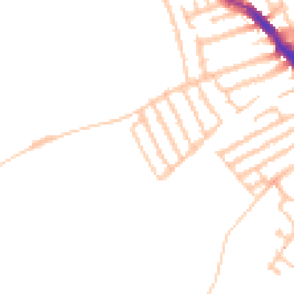
Daytime· 07:00 – 23:00
46.4dB

Night-time· 23:00 – 07:00
38.0dB