Walton House, Flat 16, The Drive, Waltham Forest, London, E17 3DH
About Walton House
Walton House is a mid-terrace house in Waltham Forest, London, London (E17 3DH). It has a recorded floor area of 73 m² (around 786 sq ft), construction records dating it to 1967-1975 and council tax band B. At 73 m² this is the largest unit on EPC record across Walton House (47–73 m²). The building's EPC ratings span E to C across 16 units on file. The latest certificate (February 2022) shows a D (score 68), on the cusp of jumping into the C band. When first surveyed in April 2010 the rating was E, the property has climbed 1 band since. Between certificates, wall efficiency went from Very Poor to Poor and lighting went from Good to Very Good. The recommended improvements would push it to C (score 71).
Held since October 2010 — that's 16 years off the open market, well above the local norm. Across 1998–2010, sale prices on this property compounded at 9.5% per year. Today's modelled estimate of £333,000 sits 114.8% above the 2010 sale of £155,000. On a £-per-square-foot basis, the last sale (£197/sq ft) was about 40.2% below the postcode norm. At 73 m² it's 23.7% larger than the typical home in the postcode (59 m² median across 15 EPCs).
Know exactly what you're buying at Walton House
Before you offer, see what the listing won't tell you, the true value, the red flags and the full history.
Already flagged here
Valuation
against the asking price
Risks
planning & flood
Sold prices
similar homes nearby
Trends
the local market
Energy performance
EPC Rating
Property Improvements
Changes detected from historical EPC data
Heating controls upgraded for better temperature management
Roof insulation improved
More low energy lighting installed
Wall insulation improved
Planning history
Walton House has no planning applications on record.
Notable planning nearby
9applications of note in the surrounding area
We flagged 2 things worth checking at Walton House
Independent checks surfaced things a buyer would want to understand before offering. The report explains each one in full, with the underlying data and what to ask.
- Signs of HMO activity in the area
- Larger development activity nearby
30-day money-back guarantee
Sales history & valuation
Sale price has at least doubled since 1998.
£333,000
Modelled from EPC, postcode comparables and a sale-price growth of 9.5% per year over 12 years.
£155,000
Growth on file: 9.5% per year over 12 years.
Sales timeline
17 October 2010Most recent
£155,000
+1.0%over 6 years29 July 2004
£153,500
+195.2%over 5 years27 September 1998
£52,000
Median price across the last 5 sales in E17 3DH: £245,000 (2022–2007).
Nearby sales in E17 3DH
Walton House, Flat 6, The Drive, Waltham Forest, London, E17 3DH
Sold Sept 2022
£370,000Walton House, Flat 12, The Drive, Waltham Forest, London, E17 3DH
Sold Oct 2018
£266,000Walton House, Flat 11, The Drive, Waltham Forest, London, E17 3DH
Sold Apr 2016
£235,000Walton House, Flat 7, The Drive, Waltham Forest, London, E17 3DH
Sold Jul 2014
£245,000Walton House, Flat 8, The Drive, Waltham Forest, London, E17 3DH
Sold May 2005
£147,000
Everything we know about Walton House, in one report
What it's really worth, what could be wrong, and the planning, sales and area data in full.
What we flagged
- Signs of HMO activity in the area
- Larger development activity nearby

Versus other The Drive homes
Floor Area for Walton House runs comfortably ahead of the street norm.
Price per m²
£2,123
Street avg £3,171
Floor Area
73 m²
Street avg 57 m²
Habitable Rooms
3 rooms
Street avg 3 rooms
CO₂ Emissions
2.7 t/year
Street avg 2.4 t/year
Similar properties nearby
173a, Flat 6, Wood Street
E17 3NU
173a, Flat 3, Wood Street
E17 3NU
163 165, Flat J, Hoe Street, Waltham Forest
E17 3AL
167a, Flat 1, Hoe Street, Waltham Forest
E17 3AL
167a, Flat 2, Hoe Street, Waltham Forest
E17 3AL
165 169, Flat 4, Wood Street, Waltham Forest
E17 3LX
163 165, Flat H, Hoe Street, Waltham Forest
E17 3AL
165 169, Flat 3, Wood Street, Waltham Forest
E17 3LX
The neighbourhood at a glance
Rail-style transport is unusually close for this postcode.
Crime
12/mo
Rising year-on-year across the wider district.
Nearest stop
0.2 km
Church Hill Road (E17) — bus stop.
Closest school
0.1 km
Emmanuel Community School. 62 schools nearby.
Go deeper on the local area
The full report breaks down crime, transport links, schools and air quality in depth.
Road noise across the postcode
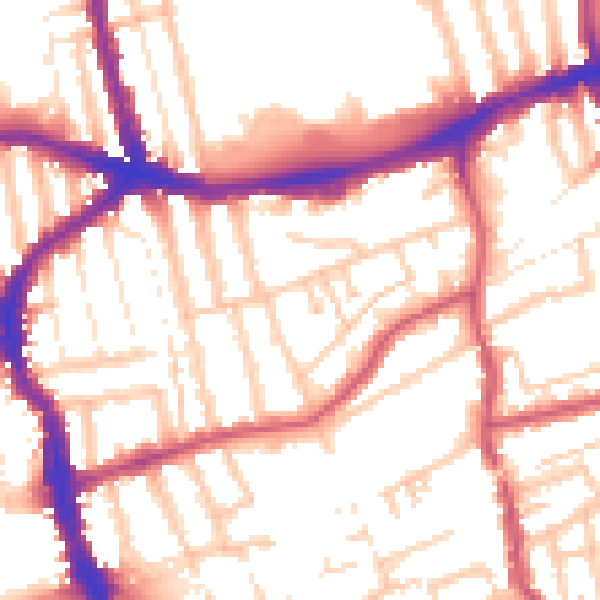
Daytime· 07:00 – 23:00
54.8dB

Night-time· 23:00 – 07:00
44.0dB