31 Chelmsford Road, Waltham Forest, London, E11 1BT
About 31 Chelmsford Road
31 Chelmsford Road is an end-of-terrace house in Waltham Forest, London, London (E11 1BT). It has a recorded floor area of 32 m² (around 344 sq ft), construction records dating it to 1967-1975 and council tax band B. At 32 m² this is the smallest unit on EPC record across the building (32–190 m²). The building's EPC ratings span E to C, with this unit at the top. The latest certificate (July 2013) shows a C (score 70). The rating has held steady at C across 2 certificates since February 2010. Between certificates, window efficiency went from Average to Good; while wall efficiency dropped from Average to Poor and lighting dropped from Very Good to Good. The latest certificate is from July 2013, so improvements made since then won't be reflected.
At 32 m² it sits well below the postcode median (101 m² across 13 EPCs), making it one of the more compact homes locally. Its energy rating outperforms most of the postcode (better than 85% of similar EPCs). One planning record on file: new windows approved in 2008. Past consents include new windows, meaningful when judging how the property has evolved.
Know exactly what you're buying at 31 Chelmsford Road
Before you offer, see what the listing won't tell you, the true value, the red flags and the full history.
Already flagged here
Valuation
against the asking price
Risks
planning & flood
Sold prices
similar homes nearby
Trends
the local market
Energy performance
31 Chelmsford Road's carbon output is low for the local stock.
EPC Expired
This certificate is over 10 years old and is no longer valid.Expired 02 Jul 2023
EPC Rating
Property Improvements
Changes detected from historical EPC data
Window efficiency improved
Low energy lighting percentage decreased
Planning history
- Jan 2008RenovationFullIn report
Alterations to elevations comprising installation of double glazed (PVCU) windows to stair well, replacement balconies, replacement railings and the formation of a glass canopy over the front entrance door as shown on drawings numbered FH/0517/CR/01, /02, /06, /07 and FH\0517\05 received on the 8th November 2007.
New Windows- Documents
- 3 docs on file
- Reference
- 072382
We flagged 2 things worth checking at 31 Chelmsford Road
Independent checks surfaced things a buyer would want to understand before offering. The report explains each one in full, with the underlying data and what to ask.
- Signs of HMO activity in the area
- Larger development activity nearby
30-day money-back guarantee
Sales history & valuation
31 Chelmsford Road has no Land Registry sales on file, suggesting it has stayed in the same hands since registration began.
£241,000
Modelled from EPC, postcode comparables.
No sales recorded with HM Land Registry
That can mean the property has never traded since the registry began publishing in 1995, was a new build that hasn't been registered yet, or is held in the same hands long-term.
Median price across the last 5 sales in E11 1BT: £233,500 (2018–2003).
Nearby sales in E11 1BT
27 Chelmsford Road, Waltham Forest, London, E11 1BT
Sold Nov 2018
£725,00029 Chelmsford Road, Waltham Forest, London, E11 1BT
Sold Nov 2012
£233,50029a, Chelmsford Road, London, E11 1BT
Sold Nov 2003
£135,00017 Chelmsford Road, Waltham Forest, London, E11 1BT
Sold Feb 2003
£315,00019 Chelmsford Road, Waltham Forest, London, E11 1BT
Sold Nov 2000
£195,000
Everything we know about 31 Chelmsford Road, in one report
What it's really worth, what could be wrong, and the planning, sales and area data in full.
What we flagged
- Signs of HMO activity in the area
- Larger development activity nearby

Versus other Chelmsford Road homes
On floor area, 31 Chelmsford Road runs well behind the street norm.
EPC Rating
70 (C)
Street avg 67 (D)
Floor Area
32 m²
Street avg 53 m²
CO₂ Emissions
1.4 t/year
Street avg 2.2 t/year
Habitable Rooms
2 rooms
Street avg 3 rooms
Similar properties nearby
1 Hatfield House, Teesdale Road, Waltham Forest
E11 1NX
1 Falcon Way, Redbridge
E11 1SX
1 Kings Road, Waltham Forest
E11 1AU
1 Connor Close, Waltham Forest
E11 1BP
1 Forest Road, Waltham Forest
E11 1JT
1 Hainault Road, Waltham Forest
E11 1ED
1 Corbicum, Waltham Forest
E11 1AW
1 Kingsley Grange, The Rise, Redbridge
E11 1QB
The neighbourhood at a glance
Rail-style transport is unusually close for this postcode.
Crime
5/mo
Rising year-on-year across the wider district.
Nearest stop
0.1 km
Drayton Road — bus stop.
Closest school
0.2 km
Connaught School for Girls. 57 schools nearby.
Go deeper on the local area
The full report breaks down crime, transport links, schools and air quality in depth.
Road noise across the postcode
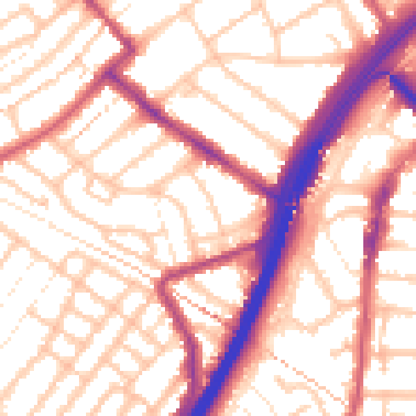
Daytime· 07:00 – 23:00
55.5dB

Night-time· 23:00 – 07:00
45.5dB