84 Wallwood Road, Waltham Forest, London, E11 1AL
About 84 Wallwood Road
84 Wallwood Road is a mid-terrace house in Waltham Forest, London, London (E11 1AL). It has a recorded floor area of 137 m² (around 1475 sq ft), construction records dating it to 1900-1929 and council tax band E. The latest certificate (October 2013) shows a D (score 61), on the cusp of jumping into the C band. The recommended improvements would lift it to B (score 88), a 2-band jump. The latest certificate is from October 2013, so improvements made since then won't be reflected.
At 137 m² the property is well over the postcode median (62 m² across 24 EPCs), placing it in the larger end of the local stock. One historical planning record sits against the property in 2017.
Know exactly what you're buying at 84 Wallwood Road
Before you offer, see what the listing won't tell you, the true value, the red flags and the full history.
Already flagged here
Valuation
against the asking price
Risks
planning & flood
Sold prices
similar homes nearby
Trends
the local market
Energy performance
Recommended upgrades on file would lift this property by multiple EPC bands.
EPC Expired
This certificate is over 10 years old and is no longer valid.Expired 29 Oct 2023
EPC Rating
Planning history
- Mar 2017RenovationFullIn report
Installation of external wall insulation to front and rear elevations
- Council
- LEYTONSTONE
- Documents
- 8 docs on file
- Reference
- 170133
We flagged 2 things worth checking at 84 Wallwood Road
Independent checks surfaced things a buyer would want to understand before offering. The report explains each one in full, with the underlying data and what to ask.
- Signs of HMO activity in the area
- Larger development activity nearby
30-day money-back guarantee
Sales history & valuation
84 Wallwood Road has no Land Registry sales on file, suggesting it has stayed in the same hands since registration began.
£920,000
Modelled from EPC, postcode comparables.
No sales recorded with HM Land Registry
That can mean the property has never traded since the registry began publishing in 1995, was a new build that hasn't been registered yet, or is held in the same hands long-term.
Median price across the last 5 sales in E11 1AL: £840,000 (2025–2018).
Nearby sales in E11 1AL
96 Wallwood Road, Waltham Forest, London, E11 1AL
Sold Jan 2025
£1,050,00092 Wallwood Road, Waltham Forest, London, E11 1AL
Sold Dec 2022
£1,050,00072 Wallwood Road, Waltham Forest, London, E11 1AL
Sold Nov 2022
£780,000106 Wallwood Road, Waltham Forest, London, E11 1AL
Sold Jun 2018
£840,000104 Wallwood Road, Waltham Forest, London, E11 1AL
Sold Jul 2017
£666,000
Everything we know about 84 Wallwood Road, in one report
What it's really worth, what could be wrong, and the planning, sales and area data in full.
What we flagged
- Signs of HMO activity in the area
- Larger development activity nearby

Versus other Wallwood Road homes
EPC Rating
61 (D)
Street avg 58 (D)
Floor Area
137 m²
Street avg 116 m²
CO₂ Emissions
5.6 t/year
Street avg 5.6 t/year
Habitable Rooms
6 rooms
Street avg 6 rooms
Similar properties nearby
1 Clare Road, Waltham Forest
E11 1JU
1 Hawbridge Road, Waltham Forest
E11 1DH
1 Forest Drive East, Waltham Forest
E11 1JX
1 Forest Glade, Waltham Forest
E11 1LU
1 Ivy Cottage, The Forest, Waltham Forest
E11 1PJ
1 Fairlop Road, Waltham Forest
E11 1BL
1 Clarendon Road, Waltham Forest
E11 1BZ
1 Chelmsford Road, Waltham Forest
E11 1BT
The neighbourhood at a glance
Rail-style transport is unusually close for this postcode.
Crime
5/mo
Rising year-on-year across the wider district.
Nearest stop
0.3 km
Clarendon Road (E11) — bus stop.
Closest school
0.2 km
Gwyn Jones Primary School. 61 schools nearby.
Go deeper on the local area
The full report breaks down crime, transport links, schools and air quality in depth.
Road noise across the postcode
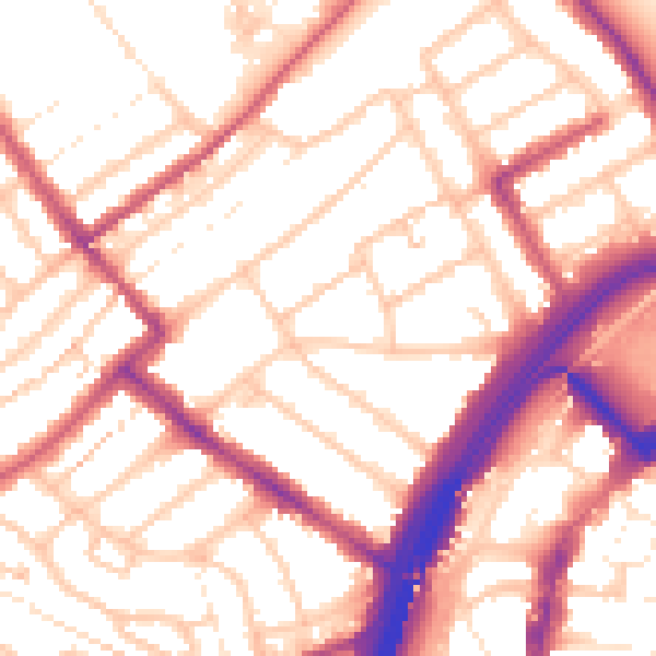
Daytime· 07:00 – 23:00
54.8dB

Night-time· 23:00 – 07:00
44.4dB