2a, Rectory Lane, Appleby Magna, Swadlincote, DE12 7BQ
About 2a
2a is a four-bedroom detached house in Appleby Magna, Swadlincote, Swadlincote (DE12 7BQ). It has a recorded floor area of 133 m² (around 1432 sq ft), construction records dating it to 1991-1995 and council tax band E. The latest certificate (February 2025) shows a C (score 70). The rating has held steady at C across 2 certificates since April 2022. Between certificates, roof efficiency dropped from Good to Average and window efficiency dropped from Good to Average. The recommended improvements would push it to B (score 84). Records show the property has been extended at some point in its history.
Held since April 2003 — that's 23 years off the open market, well above the local norm. On energy efficiency it sits in the top 10% of properties in this postcode. Across 1997–2003, sale prices on this property compounded at 15.1% per year. Today's modelled estimate of £444,000 sits 79% above the 2003 sale of £248,000. On a £-per-square-foot basis, the last sale (£173/sq ft) was about 20.2% below the postcode norm. One planning record on file: an extension approved in 2024. Past consents include an extension, meaningful when judging how the property has evolved.
Know exactly what you're buying at 2a
Before you offer, see what the listing won't tell you, the true value, the red flags and the full history.
Already flagged here
Valuation
against the asking price
Risks
planning & flood
Sold prices
similar homes nearby
Trends
the local market
What this property has
Inside
- Bedrooms4
- Bathrooms2
- Dining roomYes
- Utility roomYes
- CloakroomYes
- EnsuiteYes
Outside
- Shared gardenYes
- DrivewayYes
Building
- Previously extendedYes
Energy performance
2a ranks among the most efficient homes in the postcode for energy use.
EPC Rating
Planning history
- Oct 2024ExtensionFullIn report
Extension: Part single, part two storey · Rear of property
Erection of single and two storey rear extensions, alteration to front gable projection, new entrance canopy, render and cladding together with new separate vehicle access
- Agent
- David Granger Architectural Design Ltd
- Documents
- 16 docs on file
- Reference
- 24/01149/FUL
We flagged 1 thing worth checking at 2a
Independent checks surfaced things a buyer would want to understand before offering. The report explains each one in full, with the underlying data and what to ask.
- Larger development activity nearby
30-day money-back guarantee
Sales history & valuation
2a has more than doubled in price since the earliest registered sale in 1997.
£444,000
Modelled from EPC, postcode comparables and a sale-price growth of 15.1% per year over 5 years.
£248,000
Growth on file: 15.1% per year over 5 years.
Sales timeline
10 April 2003Most recent
£248,000
+115.7%over 5 years16 October 1997
£115,000
Median price across the last 5 sales in DE12 7BQ: £375,000 (2024–2015).
Nearby sales in DE12 7BQ
12 Rectory Lane, Appleby Magna, Swadlincote, DE12 7BQ
Sold Oct 2024
£620,00010 Rectory Lane, Appleby Magna, Swadlincote, DE12 7BQ
Sold Oct 2022
£375,0002 Rectory Lane, Appleby Magna, Swadlincote, DE12 7BQ
Sold Oct 2021
£420,00018 Rectory Lane, Appleby Magna, Swadlincote, DE12 7BQ
Sold Apr 2016
£295,0004 Rectory Lane, Appleby Magna, Swadlincote, DE12 7BQ
Sold Jul 2015
£200,000
Everything we know about 2a, in one report
What it's really worth, what could be wrong, and the planning, sales and area data in full.
What we flagged
- Larger development activity nearby

Versus other Rectory Lane homes
2a is notably below the street on price per m².
Price per m²
£1,865
Street avg £6,342
Floor Area
133 m²
Street avg 156 m²
Habitable Rooms
5 rooms
Street avg 6 rooms
CO₂ Emissions
4.7 t/year
Street avg 7.6 t/year
Similar properties nearby
1 Bowleys Lane, Appleby Magna
DE12 7BE
1 Bluebell Close, Donisthorpe
DE12 7RW
1 Brambly Close, Donisthorpe
DE12 7FD
1 Amersham Way, Measham
DE12 7PD
1 Blackthorn Way, Measham
DE12 7ND
1 Brick Kiln Croft, Measham
DE12 7JJ
1 Black Horse Hill, Appleby Magna
DE12 7AQ
1 Ashby Road, Donisthorpe
DE12 7QF
The neighbourhood at a glance
Crime
2/mo
Steady year-on-year across the wider district.
Nearest stop
0.3 km
Post Office — bus stop.
Closest school
0.7 km
Sir John Moore Church of England Primary School. 2 schools nearby.
Go deeper on the local area
The full report breaks down crime, transport links, schools and air quality in depth.
Road noise across the postcode
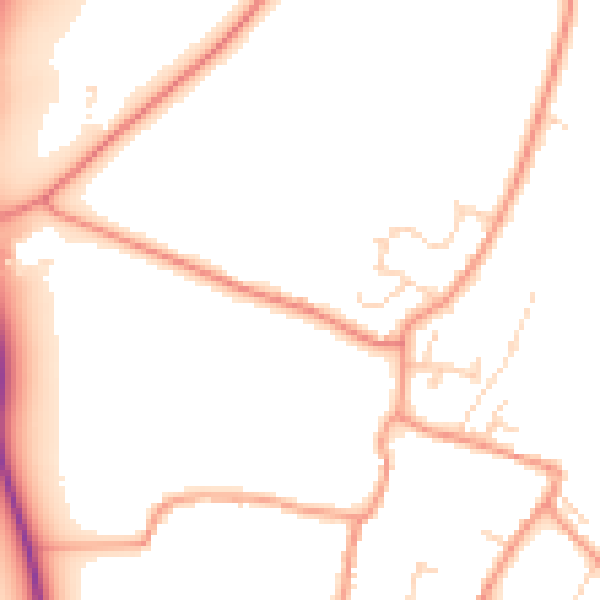
Daytime· 07:00 – 23:00
51.3dB

Night-time· 23:00 – 07:00
42.3dB