29 Norley Road, Sandiway, Northwich, CW8 2JN
About 29 Norley Road
29 Norley Road is a property in Sandiway, Northwich, Northwich (CW8 2JN). It has council tax band E.
Untraded for 20 years, with the last transfer in August 2006.
Know exactly what you're buying at 29 Norley Road
Before you offer, see what the listing won't tell you, the true value, the red flags and the full history.
Valuation
against the asking price
Risks
planning & flood
Sold prices
similar homes nearby
Trends
the local market
Energy performance
No EPC on record
This property doesn't have an Energy Performance Certificate yet. An EPC is required to sell or let — and unlocks our automated valuation.
Planning history
29 Norley Road has no planning applications on record.
The full report still covers planning activity across the surrounding area.
Sales history & valuation
£210,000
Recorded with HM Land Registry.
Sales timeline
10 August 2006Most recent
£210,000
Median price across the last 5 sales in CW8 2JN: £572,500 (2023–2016).
Nearby sales in CW8 2JN
33 Norley Road, Sandiway, Northwich, CW8 2JN
Sold Apr 2023
£425,00011 Norley Road, Sandiway, Northwich, CW8 2JN
Sold Mar 2020
£865,00031 Norley Road, Sandiway, Northwich, CW8 2JN
Sold Oct 2017
£375,00035 Norley Road, Sandiway, Northwich, CW8 2JN
Sold Oct 2016
£572,5001 Littlefold, Norley Road, Sandiway, Northwich, CW8 2JN
Sold Oct 2016
£595,000
Everything we know about 29 Norley Road, in one report
What it's really worth, what could be wrong, and the planning, sales and area data in full.
- Am I paying too much?
- Is something wrong with it?
- Is the agent's story true?
- Will it hold its value?

Similar properties nearby
1 Abbots Mere Close, Cuddington
CW8 2ZB
1 Badgers Sett, Cuddington
CW8 2XB
1 Blue Cap Cottages, Chester Road, Sandiway
CW8 2AU
1 Cartledge Close, Cuddington
CW8 2PU
1 Britannia Road, Cuddington
CW8 2FR
1 Chapel Bank, Mill Lane, Cuddington
CW8 2TA
1 Chiltern Close, Sandiway
CW8 2NE
1 Brookside, Cuddington
CW8 2QA
The neighbourhood at a glance
Rail-style transport is unusually close for this postcode.
Crime
3/mo
Steady year-on-year across the wider district.
Nearest stop
0.2 km
Hadrian Way — bus stop.
Closest school
0.4 km
Sandiway Primary School. 6 schools nearby.
Go deeper on the local area
The full report breaks down crime, transport links, schools and air quality in depth.
Road noise across the postcode
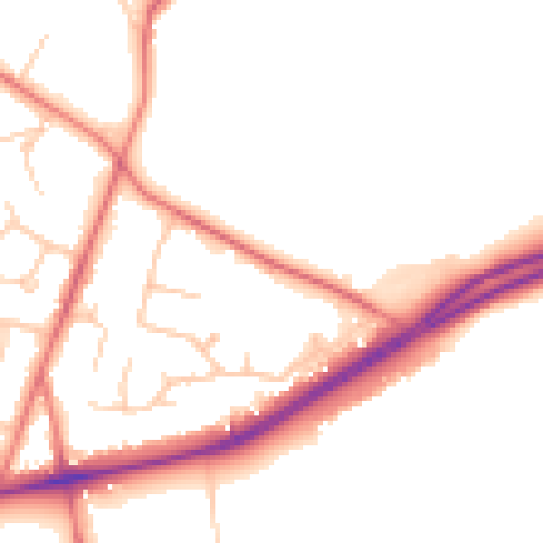
Daytime· 07:00 – 23:00
50.6dB

Night-time· 23:00 – 07:00
41.3dB