11a, De Montfort Road, Kenilworth, CV8 1DF
About 11a
11a is a four-bedroom detached house in Kenilworth (CV8 1DF). It has a recorded floor area of 136 m² (around 1464 sq ft), construction records dating it to 1983-1990 and council tax band F. The latest certificate (April 2022) shows a D (score 63), on the cusp of jumping into the C band. The recommended improvements would lift it to B (score 82), a 2-band jump. Our model identifies extension potential, subject to local planning policy.
Across 1999–2022, sale prices on this property compounded at 5.3% per year. On a £-per-square-foot basis, the last sale (£386/sq ft) was about 18.8% above the typical sold price in the postcode. Last sale on file: £565,000 in October 2022. That sale was during the post-pandemic price surge, when transactions cleared materially above pre-2020 trend.
Know exactly what you're buying at 11a
Before you offer, see what the listing won't tell you, the true value, the red flags and the full history.
Already flagged here
Valuation
against the asking price
Risks
planning & flood
Sold prices
similar homes nearby
Trends
the local market
What this property has
Inside
- Bedrooms4
- Bathrooms1
- Dining roomYes
- CloakroomYes
- EnsuiteYes
- StudyYes
Outside
- Private gardenRear
- GarageYes
Building
- Extension potentialPossible
Energy performance
Recommended upgrades on file would lift this property by multiple EPC bands.
EPC Rating
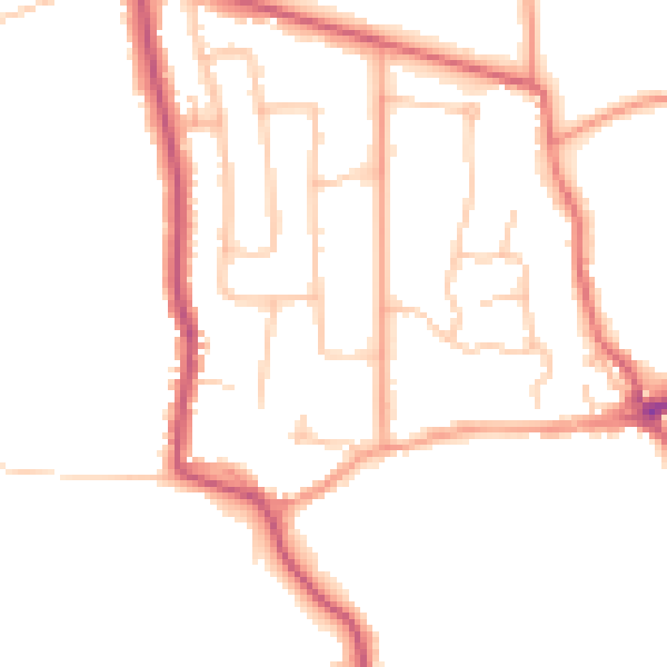
Planning history
11a has no planning applications on record.
Notable planning nearby
8applications of note in the surrounding area
We flagged 1 thing worth checking at 11a
Independent checks surfaced things a buyer would want to understand before offering. The report explains each one in full, with the underlying data and what to ask.
- Larger development activity nearby
30-day money-back guarantee
Sales history & valuation
11a has more than tripled in price since its earliest registered sale in 1999.
£562,000
Modelled from EPC, postcode comparables and a sale-price growth of 5.3% per year over 23 years.
£565,000
Growth on file: 5.3% per year over 23 years.
Sales timeline
6 October 2022Most recent
£565,000
+236.4%over 23 years29 April 1999
£167,950
Median price across the last 5 sales in CV8 1DF: £650,000 (2024–2014).
Nearby sales in CV8 1DF
1 De Montfort Road, Kenilworth, CV8 1DF
Sold Jul 2024
£1,000,0002 De Montfort Road, Kenilworth, CV8 1DF
Sold Mar 2019
£525,0001a, De Montfort Road, Kenilworth, CV8 1DF
Sold Oct 2015
£650,0006 De Montfort Road, Kenilworth, CV8 1DF
Sold Sept 2014
£550,00010 De Montfort Road, Kenilworth, CV8 1DF
Sold Mar 2014
£435,000
Everything we know about 11a, in one report
What it's really worth, what could be wrong, and the planning, sales and area data in full.
What we flagged
- Larger development activity nearby

Versus other De Montfort Road homes
Habitable Rooms for 11a runs comfortably ahead of the street norm.
Price per m²
£4,154
Street avg £3,683
Floor Area
136 m²
Street avg 152 m²
Habitable Rooms
7 rooms
Street avg 6 rooms
CO₂ Emissions
5.8 t/year
Street avg 6.7 t/year
Similar properties nearby
1 Castle Grove
CV8 1NF
1 Avenue Road
CV8 1AW
1 Bromley Close
CV8 1AJ
1 Abbotsford House, Bridge Street
CV8 1BP
1 Berkeley Road
CV8 1AQ
1 Beech Court, Maple Lane, Burton Green
CV8 1TT
1 Beehive Hill
CV8 1BW
1 Castle Green
CV8 1NE
The neighbourhood at a glance
Daytime road noise here sits well below conversation level — a quiet pocket of the postcode.
Crime
3/mo
Steady year-on-year across the wider district.
Nearest stop
0.1 km
De Montfort Road — bus stop.
Closest school
0.6 km
Priors Field Primary School. 8 schools nearby.
Go deeper on the local area
The full report breaks down crime, transport links, schools and air quality in depth.
Road noise across the postcode
Daytime· 07:00 – 23:00
47.6dB
Night-time· 23:00 – 07:00
39.3dB