10 De Montfort Road, Kenilworth, CV8 1DF
About 10 De Montfort Road
10 De Montfort Road is a detached house in Kenilworth (CV8 1DF). It has a recorded floor area of 121 m² (around 1302 sq ft), construction records dating it to 1950-1966 and council tax band F. The latest certificate (July 2013) shows a C (score 70). The recommended improvements would push it to B (score 81). The latest certificate is from July 2013, so improvements made since then won't be reflected.
One planning record on file: an extension approved in 2016. Past consents include an extension, meaningful when judging how the property has evolved. Its energy rating outperforms most of the postcode (better than 88% of similar EPCs). Last sold in March 2014, so it's been off the market for around 12 years. Across 2006–2014, sale prices on this property compounded at 2.3% per year. Today's modelled estimate of £631,000 is 45.1% above the 2014 sale price.
Know exactly what you're buying at 10 De Montfort Road
Before you offer, see what the listing won't tell you, the true value, the red flags and the full history.
Already flagged here
Valuation
against the asking price
Risks
planning & flood
Sold prices
similar homes nearby
Trends
the local market
Energy performance
10 De Montfort Road's EPC is over a decade old — improvements since won't be reflected.
EPC Expired
This certificate is over 10 years old and is no longer valid.Expired 10 Jul 2023
EPC Rating
Planning history
Council records include a two-storey rear extension at 10 De Montfort Road.
- Aug 2016ExtensionFullIn report
Extension: Two storey · Rear of property
Erection of rear two storey extension
- Agent
- Plan-it Partnership Ltd
- Documents
- 11 docs on file
- Reference
- W/16/1078
We flagged 1 thing worth checking at 10 De Montfort Road
Independent checks surfaced things a buyer would want to understand before offering. The report explains each one in full, with the underlying data and what to ask.
- Larger development activity nearby
30-day money-back guarantee
Sales history & valuation
10 De Montfort Road valuation sits well clear of the typical sold price in this postcode.
£631,000
Modelled from EPC, postcode comparables and a sale-price growth of 2.3% per year over 8 years.
£435,000
Growth on file: 2.3% per year over 8 years.
Sales timeline
26 March 2014Most recent
£435,000
+19.2%over 7 years29 August 2006
£365,000
Median price across the last 5 sales in CV8 1DF: £650,000 (2024–2015).
Nearby sales in CV8 1DF
1 De Montfort Road, Kenilworth, CV8 1DF
Sold Jul 2024
£1,000,00011a, De Montfort Road, Kenilworth, CV8 1DF
Sold Oct 2022
£565,0002 De Montfort Road, Kenilworth, CV8 1DF
Sold Mar 2019
£525,0001a, De Montfort Road, Kenilworth, CV8 1DF
Sold Oct 2015
£650,0006 De Montfort Road, Kenilworth, CV8 1DF
Sold Sept 2014
£550,000
Everything we know about 10 De Montfort Road, in one report
What it's really worth, what could be wrong, and the planning, sales and area data in full.
What we flagged
- Larger development activity nearby

Versus other De Montfort Road homes
On co₂ emissions, 10 De Montfort Road stands well clear of the street.
Price per m²
£3,595
Street avg £3,763
Floor Area
121 m²
Street avg 154 m²
Habitable Rooms
6 rooms
Street avg 6 rooms
CO₂ Emissions
3.9 t/year
Street avg 6.9 t/year
Similar properties nearby
The neighbourhood at a glance
Daytime road noise here sits well below conversation level — a quiet pocket of the postcode.
Crime
3/mo
Steady year-on-year across the wider district.
Nearest stop
0.1 km
De Montfort Road — bus stop.
Closest school
0.6 km
Priors Field Primary School. 8 schools nearby.
Go deeper on the local area
The full report breaks down crime, transport links, schools and air quality in depth.
Road noise across the postcode
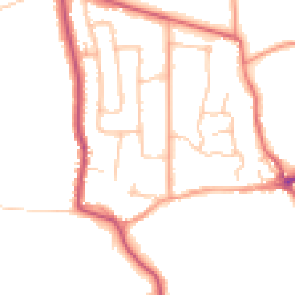
Daytime· 07:00 – 23:00
47.6dB
Night-time· 23:00 – 07:00
39.3dB