16 Broadway Avenue, Croydon, CR0 2LP
About 16 Broadway Avenue
16 Broadway Avenue is a five-bedroom mid-terrace house in Croydon (CR0 2LP). It has a recorded floor area of 112 m² (around 1206 sq ft), construction records dating it to before 1900 and council tax band C. The latest certificate (May 2025) shows a D (score 65), on the cusp of jumping into the C band. The recommended improvements would lift it to B (score 85), a 2-band jump.
It hasn't traded since May 2005, a hold of 21 years that's notably long for the area. At 112 m² the property is well over the postcode median (75 m² across 28 EPCs), placing it in the larger end of the local stock. 5 bedrooms is on the larger side for this postcode, where 3 is the typical count. Today's modelled estimate of £432,000 sits 120.4% above the 2005 sale of £196,000. On a £-per-square-foot basis, the last sale (£163/sq ft) was about 34.5% below the postcode norm.
What this property has
Inside
- Bedrooms5
- Bathrooms2
Everything you need to know about 16 Broadway Avenue
The true value, the hidden risks and the full sale history, in one report.
30-day money-back guarantee

The data behind every report


Energy performance
Recommended upgrades on file would lift this property by multiple EPC bands.
EPC Rating
Planning history
16 Broadway Avenue has no planning applications on record.
Notable planning nearby
64applications of note in the surrounding area
We flagged 2 things worth checking at 16 Broadway Avenue
Independent checks surfaced things a buyer would want to understand before offering. The report explains each one in full, with the underlying data and what to ask.
- Signs of HMO activity in the area
- Larger development activity nearby
30-day money-back guarantee
Sales history & valuation
16 Broadway Avenue valuation sits well clear of the typical sold price in this postcode.
£432,000
Modelled from EPC, postcode comparables.
£196,000
Recorded with HM Land Registry.
Sales timeline
22 May 2005Most recent
£196,000
Median price across the last 5 sales in CR0 2LP: £300,000 (2025–2023).
Nearby sales in CR0 2LP
Versus other Broadway Avenue homes
16 Broadway Avenue is notably below the street on price per m².
Price per m²
£1,750
Street avg £3,747
Floor Area
112 m²
Street avg 78 m²
Habitable Rooms
7 rooms
Street avg 4 rooms
CO₂ Emissions
4.1 t/year
Street avg 3.8 t/year
Everything you need to know about 16 Broadway Avenue
The true value, the hidden risks and the full sale history, in one report.
30-day money-back guarantee
The data behind every report
Similar properties nearby
The neighbourhood at a glance
Rail-style transport is unusually close for this postcode.
Crime
6/mo
Steady year-on-year across the wider district.
Nearest stop
0.2 km
Pawsons Road — bus stop.
Closest school
0.4 km
The Crescent Primary School. 58 schools nearby.
Go deeper on the local area
The full report breaks down crime, transport links, schools and air quality in depth.
Road noise across the postcode
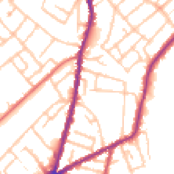
Daytime· 07:00 – 23:00
51.7dB

Night-time· 23:00 – 07:00
42.4dB